德国的山
Rauher Kulm
681 米2,234 英尺
火山 · 德国
The Rauher Kulm is a small basalt mountain located in the Upper Palatinate (Oberpfalz) region of the state of Bavaria, Germany. It is located 23 kilometers southeast of Bayreuth and 5 kilometers south of Kemnath. The town of Neustadt am Kulm is situated at the base of the western side of the mountain.
来自Wikipedia,CC BY-SA · 阅读文章
山顶 · 2:00 的预报
2 °C晴 · 东南风 5 km/h
 3D 查看
Rauher Kulm山顶天气,681 米
- 2:002 °C东南 5 km/h–
- 5:002 °C东 4 km/h–
- 8:004 °C东南 3 km/h2.7 mm
- 11:007 °C西北 9 km/h0.3 mm
- 14:009 °C西北 12 km/h–
- 17:007 °C西北 9 km/h–
- 20:005 °C北 10 km/h–
- 23:002 °C北 7 km/h–
| 日期 | 天气 | 最高 / 最低 | 雨 | 最大风速 |
|---|---|---|---|---|
| 今天 | 阴 | 10 °C / 2 °C | 3 mm | 12 km/h |
| 10月29日周四 | 少云 | 10 °C / 0 °C | – | 9 km/h |
| 10月30日周五 | 阴 | 10 °C / 0 °C | – | 15 km/h |
| 10月31日周六 | 阴 | 8 °C / 2 °C | – | 10 km/h |
| 11月1日周日 | 阴 | 7 °C / 2 °C | 0.8 mm | 10 km/h |
| 11月2日周一 | 阴 | 5 °C / 3 °C | 1.1 mm | 14 km/h |
| 11月3日周二 | 晴 | 6 °C / -0 °C | 0.1 mm | 13 km/h |
预报来自 MET Norway(CC BY 4.0),更新于 GMT+1 00:17。时间均为当地时间。
基本信息
Rauher Kulm附近的山峰
- Armesberg731 米 · 9.7 公里外地图上
- Platte946 米 · 17 公里外地图上
- Basaltkegel Parkstein595 米 · 19 公里外地图上
- Hohe Matze813 米 · 20 公里外地图上
- Kösseine939 米 · 20 公里外地图上
- Zipser Berg552 米 · 21 公里外地图上
- Platte885 米 · 21 公里外地图上
- Fürstenstein675 米 · 22 公里外地图上
- Seehügel953 米 · 23 公里外地图上
- Ochsenkopf1,024 米 · 23 公里外地图上
德国最高的山
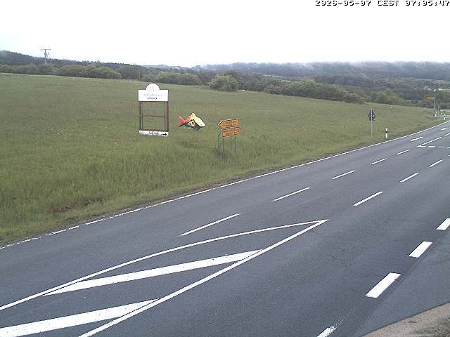
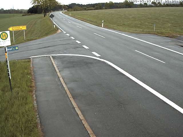
Rauher Kulm附近的网络摄像头

Rauher Kulm附近的城镇
- Bayreuth24 公里外
- Marktredwitz26 公里外
- Weiden28 公里外
- Sulzbach-Rosenberg37 公里外
- Kulmbach42 公里外
- Amberg43 公里外