Round Top
1,764 英尺538 米
山 · 代阿布洛岭 · 美国
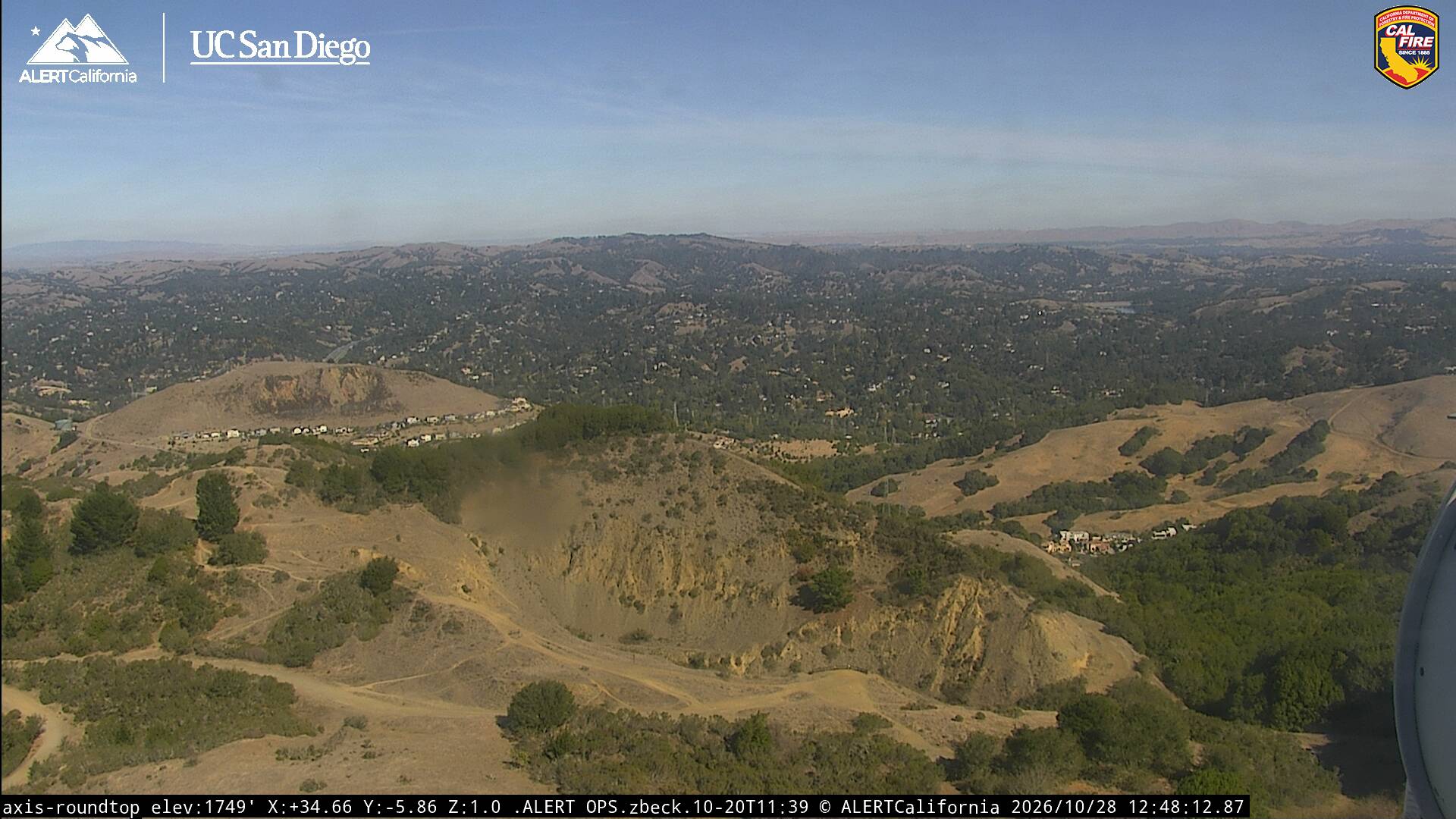
Round Top is an extinct volcano located in the Berkeley Hills, just east of Oakland, California, within Contra Costa County. The peak is part of the Sibley Volcanic Regional Preserve, which was originally established in 1936 as Round Top Regional Park.
来自Wikipedia,CC BY-SA · 阅读文章
山顶 · 2:00 的预报
48 °F多云 · 东南风 4 英里/小时
 3D 查看
Round Top山顶天气,1,764 英尺
- 2:0048 °F东南 4 英里/小时–
- 5:0045 °F东 5 英里/小时–
- 8:0046 °F东 2 英里/小时–
- 11:0058 °F南 5 英里/小时–
- 14:0064 °F西南 5 英里/小时–
- 17:0060 °F西南 7 英里/小时–
- 20:0054 °F西南 6 英里/小时–
- 23:0051 °F南 5 英里/小时–
| 日期 | 天气 | 最高 / 最低 | 雨 | 最大风速 |
|---|---|---|---|---|
| 今天 | 阴 | 64 °F / 45 °F | – | 9 英里/小时 |
| 10月30日周五 | 晴 | 59 °F / 48 °F | – | 11 英里/小时 |
| 10月31日周六 | 阴 | 60 °F / 45 °F | – | 8 英里/小时 |
| 11月1日周日 | 晴 | 60 °F / 46 °F | – | 6 英里/小时 |
| 11月2日周一 | 晴 | 63 °F / 44 °F | – | 7 英里/小时 |
| 11月3日周二 | 多云 | 68 °F / 45 °F | – | 5 英里/小时 |
| 11月4日周三 | 晴 | 59 °F / 43 °F | – | 7 英里/小时 |
预报来自 MET Norway(CC BY 4.0),更新于 GMT-7 01:20。时间均为当地时间。
基本信息
Round Top (Contra Costa County, California)
Round Top is an extinct volcano located in the Berkeley Hills, just east of Oakland, California, within Contra Costa County. The peak is part of the Sibley Volcanic Regional Preserve, which was originally established in 1936 as Round Top Regional Park. This park was one of the first three parks in the East Bay Regional Parks District.
来自Wikipedia,CC BY-SA · 阅读文章
Round Top附近的山峰
- Grizzly Peak1,758 英尺 · 5.1 公里外地图上
- 奧爾巴尼山310 英尺 · 11 公里外地图上
- William Rust Summit1,004 英尺 · 12 公里外地图上
- 电报山299 英尺 · 19 公里外地图上
- 诺布山371 英尺 · 20 公里外地图上
- Lone Mountain421 英尺 · 24 公里外地图上
- Mount Olympus561 英尺 · 24 公里外地图上
- 代阿布洛山3,806 英尺 · 25 公里外地图上
- 雙峰925 英尺 · 25 公里外地图上
- Mount Sutro912 英尺 · 25 公里外地图上
代阿布洛岭最高峰
- San Benito Mountain5,267 英尺地图上
- Santa Rita peak5,165 英尺地图上
- 汉密尔顿山 (加利福尼亚州)4,354 英尺地图上
- Black Mountain4,345 英尺地图上
- Black Mountain3,955 英尺地图上
- 代阿布洛山3,806 英尺地图上
- Laveaga Peak3,804 英尺地图上
- Black Mountain3,758 英尺地图上
- Round Top1,764 英尺地图上