Roys Peak
1,578 米5,177 英尺
山 · 新西兰
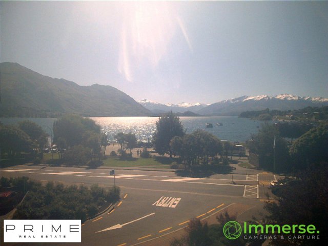
Roys Peak is a mountain in New Zealand, standing between Wānaka and Glendhu Bay. It offers a full-day's walk with views across Lake Wānaka and up to the peak of Mount Aspiring / Tititea. The track zigzags steeply up the side of Mount Roy through thick grass until the ridge to the summit.
来自Wikipedia,CC BY-SA · 阅读文章
山顶 · 18:00 的预报
4 °C晴 · 西风 14 km/h
 3D 查看
Roys Peak山顶天气,1,578 米
- 18:004 °C西 14 km/h–
- 21:00-0 °C西北 7 km/h–
- 0:00-2 °C西北 7 km/h–
- 3:00-2 °C北 7 km/h–
- 6:00-2 °C东北 7 km/h–
- 9:00-0 °C东北 10 km/h–
- 12:003 °C西北 17 km/h1.8 mm
- 15:003 °C北 15 km/h2.3 mm
| 日期 | 天气 | 最高 / 最低 | 雨 | 最大风速 |
|---|---|---|---|---|
| 10月28日周三 | 中雨 | 3 °C / -3 °C | 10.3 mm | 17 km/h |
| 10月29日周四 | 少云 | 3 °C / -2 °C | 4.4 mm | 19 km/h |
| 10月30日周五 | 小雨 | 2 °C / -4 °C | 6.2 mm | 17 km/h |
| 10月31日周六 | 多云 | 6 °C / -5 °C | – | 8 km/h |
| 11月1日周日 | 小雨 | 7 °C / 1 °C | 2.4 mm | 12 km/h |
| 11月2日周一 | 大雨 | 7 °C / 3 °C | 32 mm | 6 km/h |
| 11月3日周二 | 多云 | 12 °C / 5 °C | 1.5 mm | 5 km/h |
预报来自 MET Norway(CC BY 4.0),更新于 GMT+13 14:17。时间均为当地时间。
基本信息
Roys Peak
Mountain in Otago, New Zealand
Roys Peak is a mountain in New Zealand, standing between Wānaka and Glendhu Bay. It offers a full-day's walk with views across Lake Wānaka and up to the peak of Mount Aspiring / Tititea. The track zigzags steeply up the side of Mount Roy through thick grass until the ridge to the summit. The peak was named after an early land settler and land speculator who held the lease on the land.
来自Wikipedia,CC BY-SA · 阅读文章
Roys Peak附近的山峰
- Mount Cardrona1,936 米 · 19 公里外地图上
- Sentinel Peak1,814 米 · 36 公里外地图上
- Coronet Peak1,651 米 · 36 公里外地图上
- Rob Roy Peak2,644 米 · 38 公里外地图上
- Mount Avalanche2,606 米 · 39 公里外地图上
- 阿斯帕林山3,033 米 · 43 公里外地图上
- Mount Edward2,620 米 · 45 公里外地图上
- Queenstown Hill907 米 · 45 公里外地图上
- Mount Maori2,535 米 · 45 公里外地图上
- Bowen Peak1,631 米 · 47 公里外地图上
母峰
新西兰最高的山
- 庫克山3,724 米地图上
- Mount Tasman3,497 米地图上
- Malte-Brun3,199 米地图上
- 塞夫頓山3,151 米地图上
- Mount Elie De Beaumont3,109 米地图上
- La Perouse3,078 米地图上
- Douglas Peak3,077 米地图上
- The Minarets3,040 米地图上
- 阿斯帕林山3,033 米地图上
- Mount Hamilton3,025 米地图上