Sierra Buttes
8,589 英尺2,618 米
山 · 美国
Sierra Buttes is an 8,591-foot-elevation (2,619-meter) mountain summit located in the Sierra Nevada mountain range in Sierra County, California, United States. It is the third-highest point in Sierra County following the north ridge of Mount Lola and Peak 8740.
来自Wikipedia,CC BY-SA · 阅读文章
山顶 · 13:00 的预报
40 °F晴 · 西南风 16 英里/小时
 3D 查看
Sierra Buttes山顶天气,8,589 英尺
- 13:0040 °F西南 16 英里/小时–
- 16:0038 °F西南 14 英里/小时–
- 19:0027 °F西南 5 英里/小时–
- 22:0023 °F东南 4 英里/小时–
- 1:0018 °F东南 3 英里/小时–
- 4:0019 °F东 3 英里/小时–
- 7:0022 °F东 4 英里/小时–
- 10:0038 °F南 4 英里/小时–
| 日期 | 天气 | 最高 / 最低 | 雨 | 最大风速 |
|---|---|---|---|---|
| 10月28日周三 | 晴 | 47 °F / 18 °F | – | 8 英里/小时 |
| 10月29日周四 | 阴 | 44 °F / 29 °F | – | 11 英里/小时 |
| 10月30日周五 | 少云 | 39 °F / 27 °F | 0.02 英寸 | 12 英里/小时 |
| 10月31日周六 | 阴 | 36 °F / 23 °F | 0.04 英寸 | 11 英里/小时 |
| 11月1日周日 | 少云 | 36 °F / 23 °F | 0.01 英寸 | 9 英里/小时 |
| 11月2日周一 | 晴 | 43 °F / 20 °F | – | 8 英里/小时 |
| 11月3日周二 | 阴 | 51 °F / 28 °F | – | 3 英里/小时 |
预报来自 MET Norway(CC BY 4.0),更新于 GMT-7 12:17。时间均为当地时间。
基本信息
Sierra Buttes
Mountain of the Sierra Nevada in California, United States
Sierra Buttes is an 8,591-foot-elevation (2,619-meter) mountain summit located in the Sierra Nevada mountain range in Sierra County, California, United States. It is the third-highest point in Sierra County following the north ridge of Mount Lola and Peak 8740. Sierra Buttes are set on land managed by Tahoe National Forest and are within the North Yuba River watershed.
来自Wikipedia,CC BY-SA · 阅读文章
Sierra Buttes附近的山峰
- Schroeder Mountain6,942 英尺 · 11 公里外地图上
- Mount Fillmore7,719 英尺 · 23 公里外地图上
- Mount Lola9,148 英尺 · 30 公里外地图上
- Castle Peak9,109 英尺 · 36 公里外地图上
- Donner Peak8,019 英尺 · 43 公里外地图上
- Mount Ingalls8,376 英尺 · 44 公里外地图上
- Mount Ina Coolbrith8,064 英尺 · 45 公里外地图上
- Banner Mountain3,902 英尺 · 47 公里外地图上
- Crystal Peak8,107 英尺 · 48 公里外地图上
- Tinker Knob8,950 英尺 · 50 公里外地图上
美国最高的山
Sierra Buttes附近的网络摄像头
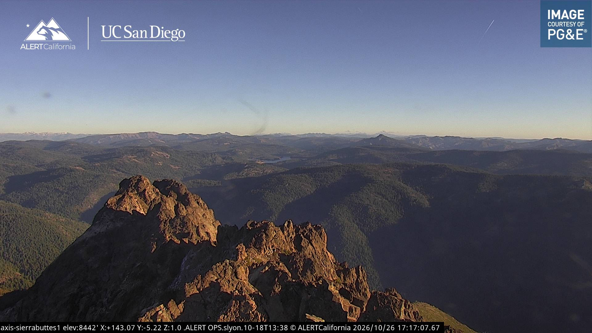
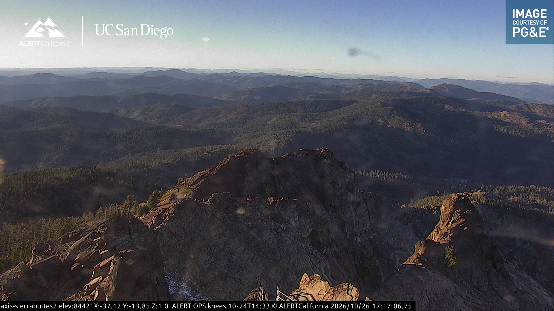
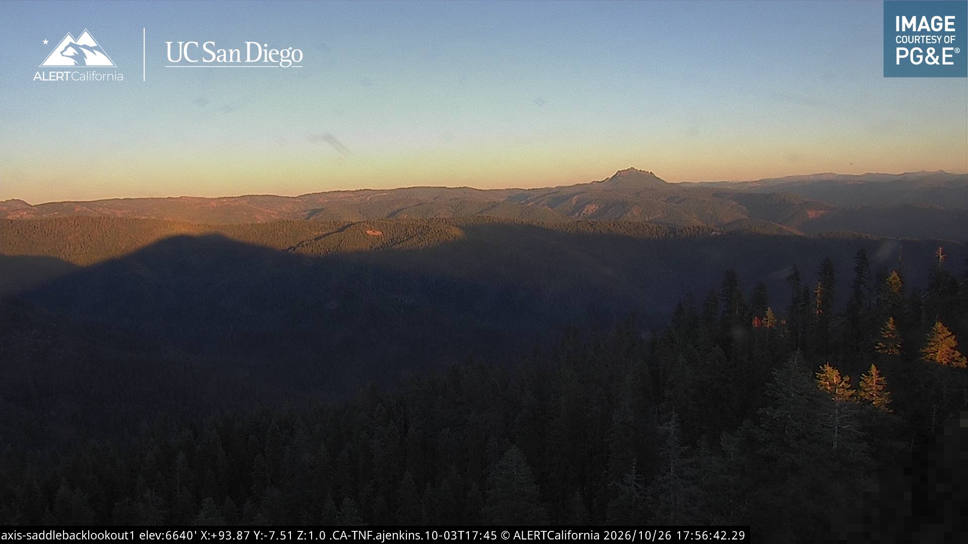
Sierra Buttes附近的城镇
- 特拉基50 公里外
- Nevada City50 公里外
- Grass Valley54 公里外
- Colfax62 公里外
- 雷諾72 公里外
- 森瓦利75 公里外