Spåtind
1,414 米4,640 英尺
山 · 挪威
Spåtind is a mountain in Innlandet county, Norway. The 1,414-metre (4,639 ft) tall mountain is located on the border of Etnedal Municipality and Nordre Land Municipality about 36 kilometres (22 mi) west of the town of Lillehammer and about 30 kilometres (19 mi) northeast of the town of Fagernes.
来自Wikipedia,CC BY-SA · 阅读文章
山顶 · 4:00 的预报
-1 °C少云 · 南风 27 km/h
 3D 查看
Spåtind山顶天气,1,414 米
- 4:00-1 °C南 27 km/h–
- 7:00-2 °C西南 30 km/h–
- 10:00-2 °C西南 28 km/h–
- 13:00-1 °C南 26 km/h–
- 16:00-1 °C南 23 km/h–
- 19:00-1 °C南 26 km/h–
- 22:00-1 °C南 27 km/h–
- 1:00-1 °C西南 23 km/h–
| 日期 | 天气 | 最高 / 最低 | 雨 | 最大风速 |
|---|---|---|---|---|
| 今天 | 晴 | -0 °C / -2 °C | – | 31 km/h |
| 10月29日周四 | 多云 | 1 °C / -1 °C | – | 37 km/h |
| 10月30日周五 | 多云 | 7 °C / 0 °C | – | 32 km/h |
| 10月31日周六 | 多云 | 6 °C / 1 °C | – | 12 km/h |
| 11月1日周日 | 多云 | 4 °C / 0 °C | – | 27 km/h |
| 11月2日周一 | 阴 | 3 °C / -1 °C | – | 33 km/h |
| 11月3日周二 | 多云 | 5 °C / 2 °C | – | 32 km/h |
预报来自 MET Norway(CC BY 4.0),更新于 GMT+1 02:29。时间均为当地时间。
基本信息
Spåtind
Mountain in Innlandet, Norway
Spåtind is a mountain in Innlandet county, Norway. The 1,414-metre (4,639 ft) tall mountain is located on the border of Etnedal Municipality and Nordre Land Municipality about 36 kilometres (22 mi) west of the town of Lillehammer and about 30 kilometres (19 mi) northeast of the town of Fagernes. The mountain lies a few kilometers south of the border of Langsua National Park.
来自Wikipedia,CC BY-SA · 阅读文章
Spåtind附近的山峰
- Skeikampen1,123 米 · 34 公里外地图上
- Skaget1,686 米 · 40 公里外地图上
- Nevelfjell1,092 米 · 45 公里外地图上
- Nystølsvarden1,296 米 · 47 公里外地图上
- Gråhøi i Øystre Sildre1,779 米 · 55 公里外地图上
- Bitihorn1,608 米 · 58 公里外地图上
- Blåkampen1,662 米 · 60 公里外地图上
- Synnfjell山 · 2.2 公里外地图上
- Djuptjernkampen1,325 米 · 12 公里外地图上
- Prestekjerringa丘陵 · 16 公里外地图上
挪威最高的山
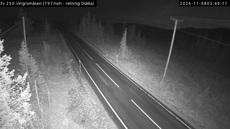
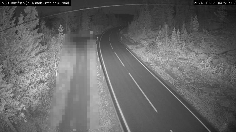
Spåtind附近的网络摄像头
Spåtind周边的历史
Spåtind附近的城镇
- Lillehammer37 公里外
- Gjøvik58 公里外
- 哈马尔76 公里外