法国的山
Tête de Chien
575 米1,887 英尺
山 · 法国
The Tête de Chien is a 550 m (1,804 ft) high rock promontory near the village of La Turbie in the Alpes-Maritimes department of France. It overlooks the Principality of Monaco, and is the highest point on the Grande Corniche road.
来自Wikipedia,CC BY-SA · 阅读文章
山顶 · 4:00 的预报
10 °C多云 · 北风 10 km/h
 3D 查看
Tête de Chien山顶天气,575 米
- 4:0010 °C北 10 km/h–
- 7:0010 °C北 9 km/h–
- 10:0016 °C西南 7 km/h–
- 13:0017 °C南 13 km/h–
- 16:0015 °C西南 12 km/h–
- 19:0012 °C西北 6 km/h–
- 22:0011 °C北 6 km/h–
- 1:0011 °C北 9 km/h–
| 日期 | 天气 | 最高 / 最低 | 雨 | 最大风速 |
|---|---|---|---|---|
| 今天 | 晴 | 17 °C / 10 °C | – | 14 km/h |
| 10月29日周四 | 晴 | 17 °C / 10 °C | – | 13 km/h |
| 10月30日周五 | 中雨 | 15 °C / 11 °C | 1.2 mm | 10 km/h |
| 10月31日周六 | 晴 | 15 °C / 5 °C | – | 7 km/h |
| 11月1日周日 | 多云 | 13 °C / 7 °C | 0.1 mm | 7 km/h |
| 11月2日周一 | 小雨 | 11 °C / 9 °C | 1.1 mm | 6 km/h |
| 11月3日周二 | 少云 | 14 °C / 3 °C | 0.3 mm | 8 km/h |
预报来自 MET Norway(CC BY 4.0),更新于 GMT+1 02:17。时间均为当地时间。
基本信息
Tête de Chien附近的山峰
- Chemin des Révoires162 米 · 0.8 公里外地图上
- 阿热勒山1,148 米 · 5.1 公里外地图上
- 尼斯前阿尔卑斯山2,080 米 · 10 公里外地图上
- Monte Grammondo1,378 米 · 15 公里外地图上
- Monte Colombin1,088 米 · 23 公里外地图上
- Monte Bignone1,299 米 · 31 公里外地图上
- Monte Toraggio1,971 米 · 34 公里外地图上
- Poggio di Sanremo200 米 · 35 公里外地图上
- 貝戈山2,872 米 · 38 公里外地图上
- 克拉皮耶山3,045 米 · 42 公里外地图上
法国最高的山
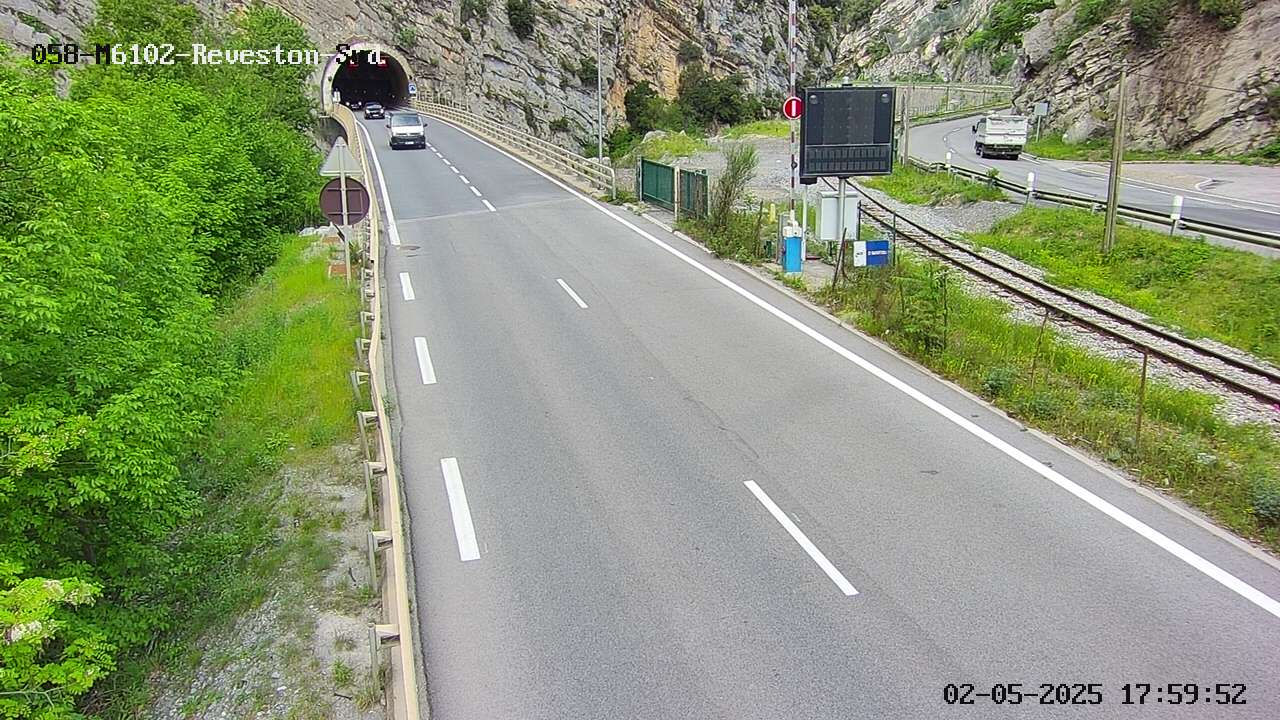
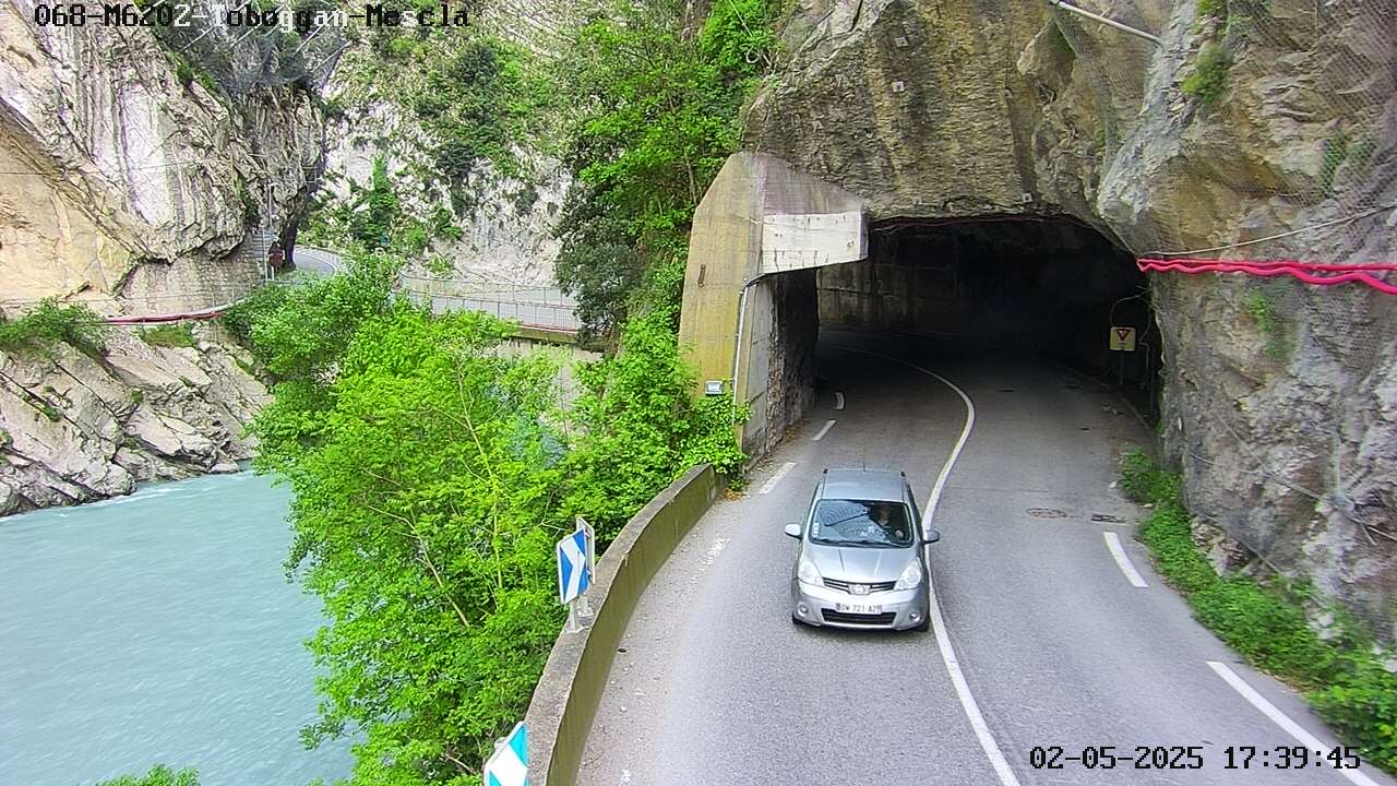
Tête de Chien附近的网络摄像头


Tête de Chien周边的历史
- 2016 Nice truck attack: 86 people are killed and more than 400 others injured in a truck attack in Nice, France, during Bastille Day celebrations2016
- Siege of Nice1543
- 2020 Nice attack2020
- Battle of Villafranca1744
- The Junior Eurovision Song Contest 2023 is held in Nice, France2023
- Tsunami — French Riviera (Ligurian Sea)1979
- Siege of Nice1705
- 2026 Monaco bombing2026