加拿大的山
The Steeples
山 · 加拿大
The Steeples is a 2,843-metre (9,327-foot) elevation mountain ridge located at the southern end of the Hughes Range in the Canadian Rockies of British Columbia, Canada.
来自Wikipedia,CC BY-SA · 阅读文章
山顶 · 20:00 的预报
-6 °C大雪 · 东北风 5 km/h
 3D 查看
The Steeples天气预报
- 20:00-6 °C东北 5 km/h3.6 mm
- 23:00-11 °C东北 5 km/h0.4 mm
- 2:00-10 °C东北 5 km/h–
- 5:00-9 °C东北 5 km/h–
- 8:00-8 °C东北 4 km/h0.2 mm
- 11:00-6 °C东北 5 km/h–
- 14:00-3 °C东 4 km/h–
- 17:00-4 °C东南 4 km/h–
| 日期 | 天气 | 最高 / 最低 | 雨 | 最大风速 |
|---|---|---|---|---|
| 10月29日周四 | 多云 | -3 °C / -13 °C | 0.3 mm | 8 km/h |
| 10月30日周五 | 阴 | -1 °C / -13 °C | – | 8 km/h |
| 10月31日周六 | 多云 | -2 °C / -12 °C | – | 6 km/h |
| 11月1日周日 | 多云 | -1 °C / -12 °C | – | 5 km/h |
| 11月2日周一 | 晴 | -2 °C / -14 °C | – | 3 km/h |
| 11月3日周二 | 晴 | -1 °C / -7 °C | – | 4 km/h |
| 11月4日周三 | 少云 | -2 °C / -10 °C | – | 7 km/h |
预报来自 MET Norway(CC BY 4.0),更新于 GMT-6 19:17。时间均为当地时间。
基本信息
The Steeples
Mountain in British Columbia, Canada
The Steeples is a 2,843-metre (9,327-foot) elevation mountain ridge located at the southern end of the Hughes Range in the Canadian Rockies of British Columbia, Canada. Situated immediately east of Norbury Lake Provincial Park and the Rocky Mountain Trench, this prominent five kilometres in length ridge is visible from the Crowsnest Highway and Cranbrook.
来自Wikipedia,CC BY-SA · 阅读文章
The Steeples附近的山峰
- Mount Fisher2,843 米 · 10 公里外地图上
- Mount Fernie2,210 米 · 22 公里外地图上
- Three Sisters2,788 米 · 23 公里外地图上
- Mount Proctor2,393 米 · 25 公里外地图上
- Mount Hosmer2,500 米 · 30 公里外地图上
- Tent Mountain2,210 米 · 51 公里外地图上
- Phillipps Peak2,500 米 · 56 公里外地图上
- Mount Tecumseh2,547 米 · 57 公里外地图上
- Mount Ptolemy2,813 米 · 57 公里外地图上
- Shark Tooth Mountain2,533 米 · 58 公里外地图上
加拿大最高的山
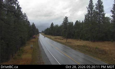
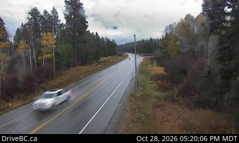
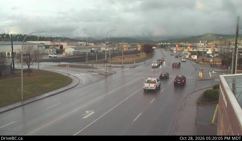
The Steeples附近的网络摄像头
The Steeples附近的城镇
- 克兰布鲁克26 公里外