Thor Peak
12,306 英尺3,751 米
山 · 美国
Thor Peak is a 12,306-foot-elevation (3,751-meter) mountain summit located east of the crest of the Sierra Nevada mountain range in Inyo County, California. It is situated in the John Muir Wilderness on land managed by Inyo National Forest.
来自Wikipedia,CC BY-SA · 阅读文章
山顶 · 17:00 的预报
34 °F多云 · 南风 2 英里/小时
 3D 查看
Thor Peak山顶天气,12,306 英尺
- 17:0034 °F南 2 英里/小时–
- 20:0025 °F南 1 英里/小时–
- 23:0024 °F南 1 英里/小时–
- 2:0024 °F南 1 英里/小时–
- 5:0026 °F南 2 英里/小时–
- 8:0027 °F南 2 英里/小时–
- 11:0032 °F南 6 英里/小时–
- 14:0033 °F南 7 英里/小时–
| 日期 | 天气 | 最高 / 最低 | 雨 | 最大风速 |
|---|---|---|---|---|
| 10月29日周四 | 多云 | 33 °F / 23 °F | – | 7 英里/小时 |
| 10月30日周五 | 多云 | 33 °F / 19 °F | – | 7 英里/小时 |
| 10月31日周六 | 中雪 | 25 °F / 17 °F | 0.2 英寸 | 2 英里/小时 |
| 11月1日周日 | 少云 | 28 °F / 22 °F | – | 3 英里/小时 |
| 11月2日周一 | 少云 | 36 °F / 22 °F | – | 2 英里/小时 |
| 11月3日周二 | 阴 | 40 °F / 29 °F | – | 2 英里/小时 |
| 11月4日周三 | 阴 | 44 °F / 31 °F | – | 2 英里/小时 |
预报来自 MET Norway(CC BY 4.0),更新于 GMT-7 12:20。时间均为当地时间。
基本信息
Thor Peak (California)
Mountain in the American state of California
Thor Peak is a 12,306-foot-elevation (3,751-meter) mountain summit located east of the crest of the Sierra Nevada mountain range in Inyo County, California. It is situated in the John Muir Wilderness on land managed by Inyo National Forest. It is 12.5 miles (20.1 km) west of the community of Lone Pine, and 1.5 miles (2.4 km) east of Mount Whitney.
来自Wikipedia,CC BY-SA · 阅读文章
Thor Peak附近的山峰
- Mount Carillon13,553 英尺 · 2.1 公里外地图上
- 惠特尼峰14,505 英尺 · 2.3 公里外地图上
- Mount Muir14,016 英尺 · 2.6 公里外地图上
- Mount Russell14,094 英尺 · 2.7 公里外地图上
- Mount Mallory13,851 英尺 · 3.1 公里外地图上
- Tunnabora Peak13,566 英尺 · 3.5 公里外地图上
- Lone Pine Peak12,949 英尺 · 4 公里外地图上
- Mount LeConte13,936 英尺 · 4.1 公里外地图上
- Mount Young13,182 英尺 · 5.5 公里外地图上
- Mount Chamberlin13,169 英尺 · 6.2 公里外地图上
美国最高的山
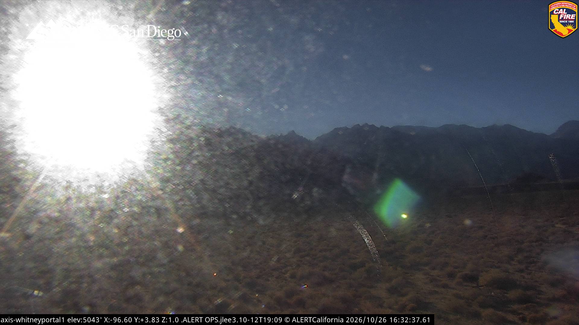
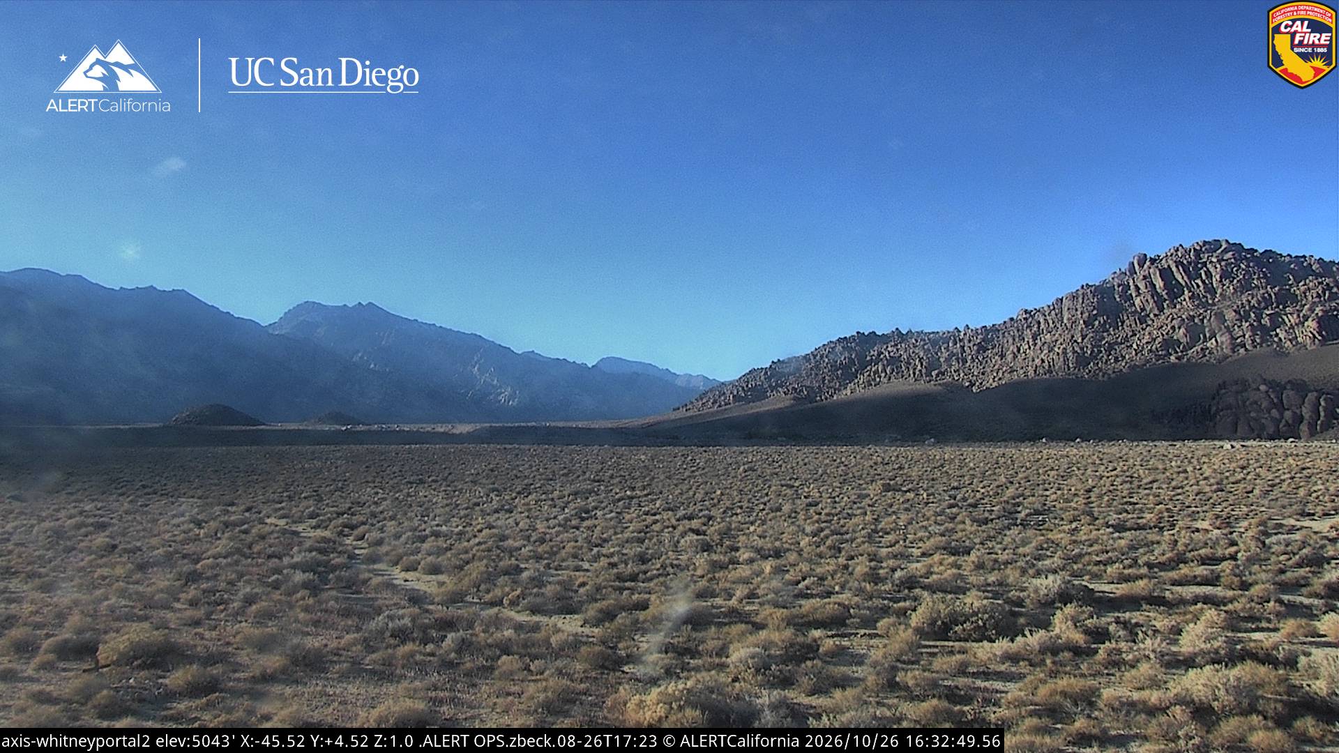
Thor Peak附近的网络摄像头
Thor Peak周边的历史
Thor Peak附近的城镇
- Woodlake77 公里外