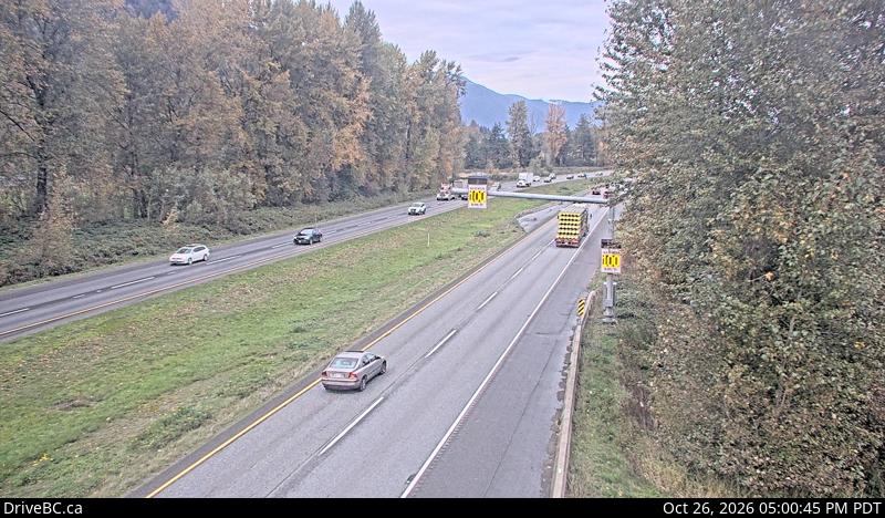
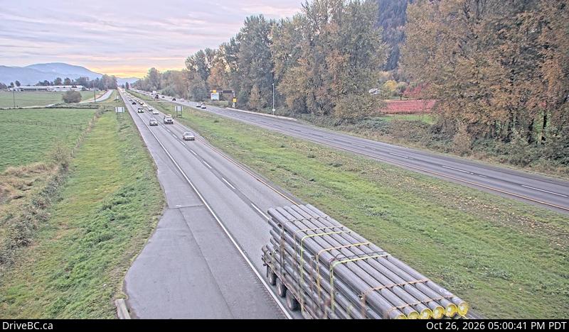
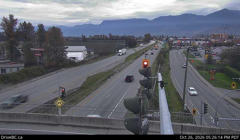
Vedder Mountain
924 米3,031 英尺
山 · 加拿大
The Vedder Mountain is a branch of the Cascade Range in the Pacific Northwest, located at the southeastern edge of the Fraser Lowland in British Columbia, Canada, between the village of Yarrow and the village of Cultus Lake, extending from the Vedder River to the Saar Creek valley.
来自Wikipedia,CC BY-SA · 阅读文章
山顶 · 21:00 的预报
2 °C雨夹雪 · 西南风 8 km/h
Vedder Mountain山顶天气,924 米
- 21:002 °C西南 8 km/h2.8 mm
- 0:002 °C西南 8 km/h0.8 mm
- 3:001 °C西北 4 km/h1.7 mm
- 6:00-0 °C东北 5 km/h0.8 mm
- 9:001 °C东北 3 km/h0.2 mm
- 12:002 °C西 5 km/h0.1 mm
- 15:003 °C西北 6 km/h0.5 mm
- 18:001 °C东北 4 km/h–
| 日期 | 天气 | 最高 / 最低 | 雨 | 最大风速 |
|---|---|---|---|---|
| 10月28日周三 | 阴 | 3 °C / -2 °C | 4.1 mm | 11 km/h |
| 10月29日周四 | 多云 | 6 °C / -2 °C | 3.3 mm | 12 km/h |
| 10月30日周五 | 小雨 | 2 °C / -2 °C | 2 mm | 5 km/h |
| 10月31日周六 | 小雨 | 2 °C / -2 °C | 2.7 mm | 5 km/h |
| 11月1日周日 | 阴 | 4 °C / -2 °C | 1.4 mm | 5 km/h |
| 11月2日周一 | 多云 | 8 °C / -3 °C | – | 9 km/h |
| 11月3日周二 | 多云 | 9 °C / -2 °C | – | 7 km/h |
预报来自 MET Norway(CC BY 4.0),更新于 GMT-7 02:22。时间均为当地时间。
基本信息
Vedder Mountain
Mountain in British Columbia, Canada
The Vedder Mountain is a branch of the Cascade Range in the Pacific Northwest, located at the southeastern edge of the Fraser Lowland in British Columbia, Canada, between the village of Yarrow and the village of Cultus Lake, extending from the Vedder River to the Saar Creek valley. It separates the broad Fraser Valley and Sumas Prairie in its northwest from the narrow Columbia Valley to its southeast.
来自Wikipedia,CC BY-SA · 阅读文章
Vedder Mountain附近的山峰
- Sumas Peak910 米 · 10 公里外地图上
- Harrison Hill622 米 · 18 公里外地图上
- Sumas Mountain3,428 英尺 · 23 公里外地图上
- Tomyhoi Peak7,439 英尺 · 24 公里外地图上
- Canadian Border Peak2,291 米 · 25 公里外地图上
- American Border Peak7,998 英尺 · 26 公里外地图上
- Cheam Peak2,104 米 · 27 公里外地图上
- Lady Peak2,178 米 · 28 公里外地图上
- Mount Larrabee7,865 英尺 · 28 公里外地图上
- Slesse Mountain2,439 米 · 31 公里外地图上