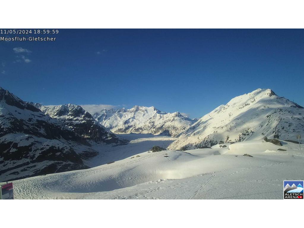
瑞士的山
3D 查看Wandelen
2,105 米6,906 英尺
山 · 烏里阿爾卑斯山脈 · 瑞士
The Wandelen is a mountain of the Urner Alps, overlooking Lake Sarnen in the canton of Obwalden. It lies at the northern end of the chain between the Klein Melchtal and the Melchtal.
来自Wikipedia,CC BY-SA · 阅读文章
山顶 · 4:00 的预报
2 °C晴 · 东南风 3 km/h
Wandelen山顶天气,2,105 米
- 4:002 °C东南 3 km/h–
- 7:001 °C东南 3 km/h–
- 10:0010 °C西南 3 km/h–
- 13:0013 °C西北 5 km/h–
- 16:0011 °C北 4 km/h–
- 19:005 °C南 3 km/h–
- 22:001 °C东南 5 km/h–
- 1:00-1 °C东南 6 km/h0.1 mm
| 日期 | 天气 | 最高 / 最低 | 雨 | 最大风速 |
|---|---|---|---|---|
| 今天 | 晴 | 13 °C / -0 °C | – | 6 km/h |
| 10月28日周三 | 阴 | 4 °C / -2 °C | 0.1 mm | 6 km/h |
| 10月29日周四 | 少云 | 6 °C / -2 °C | – | 7 km/h |
| 10月30日周五 | 晴 | 6 °C / -2 °C | – | 5 km/h |
| 10月31日周六 | 晴 | 7 °C / -5 °C | – | 5 km/h |
| 11月1日周日 | 晴 | 7 °C / -2 °C | – | 4 km/h |
| 11月2日周一 | 多云 | 3 °C / -3 °C | – | 7 km/h |
预报来自 MET Norway(CC BY 4.0),更新于 GMT+1 00:20。时间均为当地时间。
基本信息
Wandelen附近的山峰
母峰
用于测量其相对高度的最近一座更高山峰。
- Heitlistock2,146 米地图上