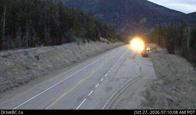
Yellowhead Mountain
2,488 米8,163 英尺
山 · Victoria Cross Ranges · 加拿大
Yellowhead Mountain is located west of Yellowhead Pass in Mount Robson Provincial Park and straddles the Continental Divide marking the Alberta-British Columbia border. It was named for Pierre Bostonais aka Tête Jaune.
来自Wikipedia,CC BY-SA · 阅读文章
山顶 · 14:00 的预报
-4 °C阴 · 北风 4 km/h
 3D 查看
Yellowhead Mountain山顶天气,2,488 米
- 14:00-4 °C北 4 km/h–
- 17:00-4 °C东北 2 km/h0.9 mm
- 20:00-7 °C东北 5 km/h1.3 mm
- 23:00-7 °C东 8 km/h0.9 mm
- 2:00-8 °C东 9 km/h0.6 mm
- 5:00-10 °C东北 8 km/h–
- 8:00-11 °C东北 8 km/h–
- 11:00-10 °C东北 9 km/h–
| 日期 | 天气 | 最高 / 最低 | 雨 | 最大风速 |
|---|---|---|---|---|
| 10月28日周三 | 阴 | -8 °C / -14 °C | 1.7 mm | 11 km/h |
| 10月29日周四 | 晴 | -8 °C / -18 °C | 0.1 mm | 5 km/h |
| 10月30日周五 | 多云 | -9 °C / -19 °C | 0.1 mm | 3 km/h |
| 10月31日周六 | 阴 | -7 °C / -18 °C | 0.1 mm | 3 km/h |
| 11月1日周日 | 多云 | -9 °C / -17 °C | – | 2 km/h |
| 11月2日周一 | 少云 | -6 °C / -15 °C | 0.7 mm | 2 km/h |
| 11月3日周二 | 少云 | -3 °C / -14 °C | – | 4 km/h |
预报来自 MET Norway(CC BY 4.0),更新于 GMT-7 12:17。时间均为当地时间。
基本信息
Yellowhead Mountain
Mountain in Western Canada
Yellowhead Mountain is located west of Yellowhead Pass in Mount Robson Provincial Park and straddles the Continental Divide marking the Alberta-British Columbia border. It was named for Pierre Bostonais aka Tête Jaune. The mountain has four officially named summits: Bingley Peak, Leather Peak, Lucerne Peak, and Tête Roche.
来自Wikipedia,CC BY-SA · 阅读文章
Yellowhead Mountain附近的山峰
- Caledonia Mountain2,863 米 · 8 公里外地图上
- Kataka Mountain2,379 米 · 16 公里外地图上
- Mount Clairvaux2,710 米 · 16 公里外地图上
- Miette Hill2,378 米 · 16 公里外地图上
- Mount Machray2,745 米 · 21 公里外地图上
- Caniche Peak2,552 米 · 22 公里外地图上
- Consort Mountain2,883 米 · 24 公里外地图上
- Tonquin Hill2,396 米 · 25 公里外地图上
- Bastion Peak2,994 米 · 27 公里外地图上
- Drawbridge Peak2,733 米 · 28 公里外地图上
Victoria Cross Ranges最高峰
- Treadmill Ridge2,944 米地图上
- Snaring Mountain2,931 米地图上
- Mount Bridgland2,930 米地图上
- Mount Mahood2,896 米地图上
- Consort Mountain2,883 米地图上
- Mount Oliver2,865 米地图上
- Caledonia Mountain2,863 米地图上
- Mount Beaupré2,778 米地图上
- Yellowhead Mountain2,488 米地图上