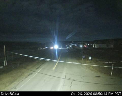
Chilcotin Plateau
2,495 م8,186 قدم
جبل · كندا
The Chilcotin Plateau is part of the Fraser Plateau, a major subdivision of the Interior Plateau of British Columbia.
من Wikipedia، CC BY-SA · اقرأ المقال
على القمة · توقعات الساعة 8:00 ص
-13 °Cضباب · رياح 6 km/h من شرقية
 شاهده بالأبعاد الثلاثية
الطقس على قمة Chilcotin Plateau، 2,495 م
- 8:00 ص-13 °Cشرقية 6 km/h–
- 11:00 ص-9 °Cغربية 6 km/h1 mm
- 2:00 م-7 °Cشمالية غربية 7 km/h–
- 5:00 م-6 °Cشمالية 9 km/h–
- 8:00 م-9 °Cشمالية 11 km/h–
- 11:00 م-10 °Cشمالية 11 km/h–
- 2:00 ص-11 °Cشمالية 14 km/h–
- 5:00 ص-12 °Cشمالية غربية 14 km/h0.2 mm
| التاريخ | حالة السماء | العظمى / الصغرى | مطر | الرياح حتى |
|---|---|---|---|---|
| اليوم | غائم | -5 °C / -13 °C | 1 mm | 12 km/h |
| الأربعاء، 28 أكتوبر | غائم | -10 °C / -12 °C | 0.2 mm | 15 km/h |
| الخميس، 29 أكتوبر | غائم | -9 °C / -13 °C | – | 10 km/h |
| الجمعة، 30 أكتوبر | غائم جزئيًا | -9 °C / -15 °C | – | 7 km/h |
| السبت، 31 أكتوبر | غائم | -10 °C / -16 °C | – | 5 km/h |
| الأحد، 1 نوفمبر | غائم جزئيًا | -7 °C / -17 °C | 1.6 mm | 10 km/h |
| الاثنين، 2 نوفمبر | غائم | -5 °C / -10 °C | – | 11 km/h |
التوقعات من MET Norway (CC BY 4.0)، آخر تحديث 06:17 م غرينتش-7. الأوقات بالتوقيت المحلي.
حقائق
- النوع
- جبل
- الارتفاع عن سطح البحر
- 2,495 م (8,186 قدم)
- الدولة
- كندا
- إحداثيات
- 52.167°N 123.417°W
- المصدر
- ويكي بيانات، CC0
Chilcotin Plateau
Region of the Fraser Plateau in British Columbia, Canada
The Chilcotin Plateau is part of the Fraser Plateau, a major subdivision of the Interior Plateau of British Columbia. The Chilcotin Plateau is physically near-identical with the region of the same name, i.e. "the Chilcotin", which lies between the Fraser River and the southern Coast Mountains and is defined by the basin of the Chilcotin River and so includes montane areas beyond the plateau.
من Wikipedia، CC BY-SA · اقرأ المقال
قمم قرب Chilcotin Plateau
- RCAF Station Puntzi Mountainجبل · على بعد 54 كمعلى الخريطة
أعلى الجبال في كندا
- جبل لوغان5,959 معلى الخريطة
- جبل سينت إلياس18,009 قدمعلى الخريطة
- Mount Lucania5,240 معلى الخريطة
- King Peak5,173 معلى الخريطة
- Mount Steele5,073 معلى الخريطة
- Mount Wood4,850 معلى الخريطة
- Mount Vancouver15,787 قدمعلى الخريطة
- Mount Slaggard4,742 معلى الخريطة
- Mount Macaulay4,700 معلى الخريطة
- جبل فيرويذر15,325 قدمعلى الخريطة