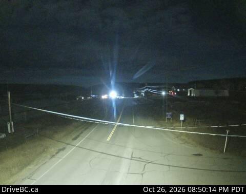
カナダの山
Chilcotin Plateau
2,495 m8,186 ft
山 · カナダ
The Chilcotin Plateau is part of the Fraser Plateau, a major subdivision of the Interior Plateau of British Columbia.
出典: Wikipedia、CC BY-SA · 記事を読む
山頂 · 8:00 の予報
-13 °C霧 · 東の風 6 km/h
 3D で見る
Chilcotin Plateau 山頂の天気(2,495 m)
- 8:00-13 °C東 6 km/h–
- 11:00-9 °C西 6 km/h1 mm
- 14:00-7 °C北西 7 km/h–
- 17:00-6 °C北 9 km/h–
- 20:00-9 °C北 11 km/h–
- 23:00-10 °C北 11 km/h–
- 2:00-11 °C北 14 km/h–
- 5:00-12 °C北西 14 km/h0.2 mm
| 日付 | 天気 | 最高 / 最低 | 雨 | 最大風速 |
|---|---|---|---|---|
| 今日 | 曇り | -5 °C / -13 °C | 1 mm | 12 km/h |
| 10月28日(水) | 曇り | -10 °C / -12 °C | 0.2 mm | 15 km/h |
| 10月29日(木) | 曇り | -9 °C / -13 °C | – | 10 km/h |
| 10月30日(金) | 晴れ時々曇り | -9 °C / -15 °C | – | 7 km/h |
| 10月31日(土) | 曇り | -10 °C / -16 °C | – | 5 km/h |
| 11月1日(日) | 晴れ時々曇り | -7 °C / -17 °C | 1.6 mm | 10 km/h |
| 11月2日(月) | 曇り | -5 °C / -10 °C | – | 11 km/h |
MET Norway(CC BY 4.0)による予報。18:17 GMT-7 更新。時刻は現地時間です。
基本データ
- 種類
- 山
- 標高
- 2,495 m (8,186 ft)
- 国
- カナダ
- 座標
- 52.167°N 123.417°W
Chilcotin Plateau
Region of the Fraser Plateau in British Columbia, Canada
The Chilcotin Plateau is part of the Fraser Plateau, a major subdivision of the Interior Plateau of British Columbia. The Chilcotin Plateau is physically near-identical with the region of the same name, i.e. "the Chilcotin", which lies between the Fraser River and the southern Coast Mountains and is defined by the basin of the Chilcotin River and so includes montane areas beyond the plateau.
出典: Wikipedia、CC BY-SA · 記事を読む
Chilcotin Plateau周辺の山
- RCAF Station Puntzi Mountain山 · 54 km先地図上
カナダの高い山
- ローガン山5,959 m地図上
- セイントイライアス山18,009 ft地図上
- ルカニア山5,240 m地図上
- キング・ピーク5,173 m地図上
- スティール山5,073 m地図上
- Mount Wood4,850 m地図上
- バンクーバー山 (カナダ)15,787 ft地図上
- Mount Slaggard4,742 m地図上
- Mount Macaulay4,700 m地図上
- フェアウェザー山15,325 ft地図上