One day in Constantine, Algeria
A day through Constantine’s best-known sights that lie close together: Sidi Rached Viaduct, Great Mosque of Constantine, Hassan Bey Mosque, Cirta, Pont Sidi M'Cid and Pont El Kantara. 6 stops, about 1.7 km between them in straight lines; the streets make it longer.
The route
- Sidi Rached ViaductBridge · On the map

- Great Mosque of ConstantineMosque · 0.4 km on from Sidi Rached Viaduct · On the map

- Hassan Bey MosqueMosque · 0.2 km on from Great Mosque of Constantine · On the map

- CirtaArchaeological site · Next to Hassan Bey Mosque · On the map
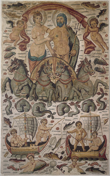
- Pont Sidi M'CidBridge · 0.6 km on from Cirta · On the map

- Pont El KantaraBridge · 0.5 km on from Pont Sidi M'Cid · On the map

6 stops, 2.5 km on foot along the streets: about 38 min of walking.
More for Constantine
- Things to do in Constantine, Algeria · 13 places to see, led by Cirta and Emir Abdelkader Mosque
Photo credits
- Sidi Rached Viaduct: Maghnia-algeria, CC BY-SA 4.0
- Great Mosque of Constantine: Lilith108, CC BY-SA 3.0
- Hassan Bey Mosque: Séraphin-Médéric Mieusement, CC BY-SA 4.0
- Cirta: Ghirlandajo, Public domain
- Pont Sidi M'Cid: Bernard Gagnon, CC BY 4.0
- Pont El Kantara: Bernard Gagnon, CC BY 4.0
Pictures from Wikimedia Commons, through each place’s Wikidata entry.
Good to know
- Each day starts at the best-known place not yet seen and adds the best known within a short walk of it, then puts them in the shortest order. The places come from Wikidata (CC0), ranked by how many Wikipedias have an article about them.
- The map draws each day’s walk along the streets, routed by Valhalla on OpenStreetMap; the distances beside the stops are straight lines.
- Opening hours, tickets and closures are not checked: each place’s Wikipedia article has them.
Other places nearby
- Algiers318 km away · Right now, Things to do, Plans, Flights, Weather, ISS passes, Sunrise and sunset and Earthquakes
- Tunis321 km away · Right now, Things to do, Plans, Flights, Weather, ISS passes, Sunrise and sunset and Earthquakes
- Le Kram335 km away · Things to do, Plans and Weather
- Cagliari387 km away · Right now, Things to do, Plans, Flights, Weather, Port and ships, ISS passes, Sunrise and sunset and Hiking routes
- Sfax416 km away · Right now, Things to do, Plans, Flights, Weather, ISS passes and Sunrise and sunset
- Alghero489 km away · Things to do and Plans
- Palma498 km away · Right now, Things to do, Plans, Cameras, Flights, Weather, Port and ships, ISS passes, Sunrise and sunset and Hiking routes
- Nuoro499 km away · Things to do and Plans