Flying Fish Cove, live
On the live map of Flying Fish Cove, Christmas Island: one place to see led by Christmas Island National Park and one public camera.
Right now · as of
- Christmas Island International Airport, 4 km: 24 °C, humidity 83%, wind SE 11 km/h, visibility 10+ km · 15 minutes ago
Things to do in Flying Fish Cove
- 1Christmas Island National ParkPark · 9.9 km from the centre
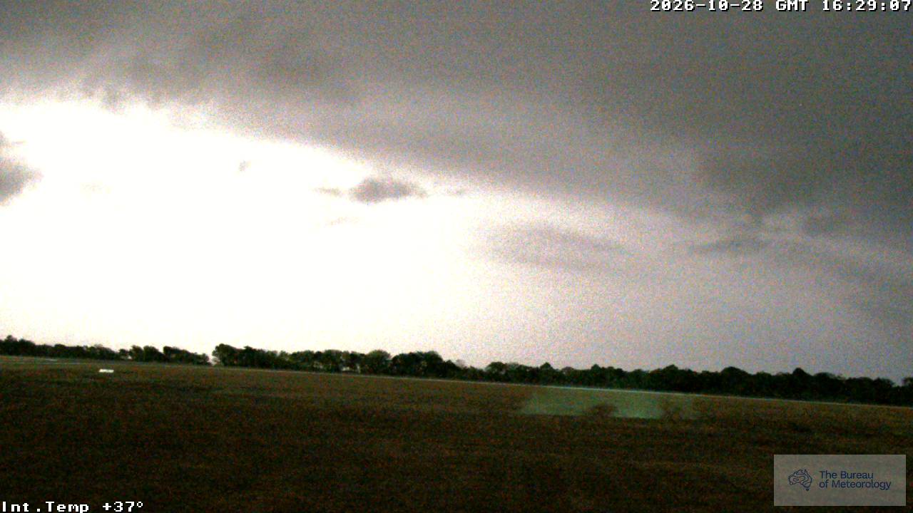
The latest from cameras in Flying Fish Cove
Flying Fish Cove on the map
- Flying Fish Cove right nowWarnings, earthquakes, fires, lightning and rain around Flying Fish Cove now
- Things to do in Flying Fish Cove1 place to see, led by Christmas Island National Park
- Live cameras in Flying Fish CoveOne camera on the map.
- Flights over Flying Fish Cove, liveChristmas Island International Airport (XCH)
- Weather in Flying Fish Cove: forecast and live mapA 7-day forecast, airport reports from YPXM and model temperature and wind.
- Flying Fish Cove port and ships, liveFlying Fish Cove, 2 km from the centre.
- When to see the ISS from Flying Fish CoveThe next visible passes in local time; it can pass straight overhead.
- Sunrise and sunset in Flying Fish CoveSunrise, sunset, day length and twilight in local time, today and through the year.
Other places nearby
- Pelabuhanratu394 km away · ISS passes, Sunrise and sunset and Earthquakes
- Banjar407 km away · Flights, ISS passes, Sunrise and sunset and Earthquakes
- Sukabumi413 km away · ISS passes, Sunrise and sunset, Earthquakes and Hiking routes
- Soreang428 km away · Flights
- Banjaran430 km away · Cameras, Flights and Hiking routes
- Garut431 km away · ISS passes, Sunrise and sunset and Earthquakes
- Cianjur431 km away · Flights, ISS passes, Sunrise and sunset and Earthquakes
- Pameungpeuk434 km away · Cameras