Carrigvore
682 m2.238 ft
Berg · Wicklow Mountains · Irland
Carrigvore at 682 metres (2,238 ft), is the 111th–highest peak in Ireland on the Arderin scale, and the 134th–highest peak on the Vandeleur-Lynam scale.
Aus Wikipedia, CC BY-SA · Artikel lesen
Am Gipfel · Vorhersage für 6:00
4 °CTeilweise bewölkt · Wind 31 km/h aus SW
 In 3D ansehen
Wetter auf dem Gipfel: Carrigvore, 682 m
- 6:004 °CSW 31 km/h–
- 9:005 °CW 37 km/h0,1 mm
- 12:007 °CW 30 km/h0,4 mm
- 15:006 °CW 26 km/h0,2 mm
- 18:005 °CW 25 km/h–
- 21:005 °CSW 26 km/h–
- 0:005 °CSW 27 km/h0,1 mm
- 3:007 °CSW 29 km/h–
| Tag | Himmel | Max. / Min. | Regen | Wind bis |
|---|---|---|---|---|
| Heute | Leichter Regen | 7 °C / 4 °C | 0,7 mm | 37 km/h |
| Mi., 28. Okt. | Teilweise bewölkt | 11 °C / 5 °C | 0,1 mm | 29 km/h |
| Do., 29. Okt. | Bewölkt | 9 °C / 7 °C | 0,8 mm | 28 km/h |
| Fr., 30. Okt. | Bewölkt | 11 °C / 8 °C | 6,6 mm | 29 km/h |
| Sa., 31. Okt. | Regen | 11 °C / 6 °C | 4,1 mm | 17 km/h |
| So., 1. Nov. | Teilweise bewölkt | 7 °C / 4 °C | – | 12 km/h |
| Mo., 2. Nov. | Überwiegend klar | 8 °C / 2 °C | – | 11 km/h |
Vorhersage von MET Norway (CC BY 4.0), aktualisiert um 05:20 GMT. Zeiten in Ortszeit.
Fakten
- Art
- Berg
- Höhe über dem Meer
- 682 m (2.238 ft)
- Gebirge
- Wicklow Mountains
- Land
- Irland
- Koordinaten
- 53.130°N 6.323°W
- Quelle
- Wikidata, CC0
Carrigvore
Mountain in County Wicklow, Ireland
Carrigvore at 682 metres (2,238 ft), is the 111th–highest peak in Ireland on the Arderin scale, and the 134th–highest peak on the Vandeleur-Lynam scale. Carrigvore is in the middle section of the Wicklow Mountains, in Ireland, and is part of a large north-east to south-west "boggy ridge" that runs from the Sally Gap to Carrigvore, and then on to Gravale 718 metres (2,356 ft); after a col, the ridge continues south-we…
Aus Wikipedia, CC BY-SA · Artikel lesen
Gipfel nahe Carrigvore
- Gravale718 m · 1,9 km entferntAuf der Karte
- Duff Hill720 m · 3,3 km entferntAuf der Karte
- Luggala595 m · 3,8 km entferntAuf der Karte
- Kippure757 m · 4,5 km entferntAuf der Karte
- War Hill686 m · 4,9 km entferntAuf der Karte
- Tonduff642 m · 5,1 km entferntAuf der Karte
- Djouce725 m · 5,5 km entferntAuf der Karte
- Mullaghcleevaun849 m · 6,3 km entferntAuf der Karte
- Maulin570 m · 6,8 km entferntAuf der Karte
- Barnacullian714 m · 7,1 km entferntAuf der Karte
Die höchsten: Wicklow Mountains
- Lugnaquilla925 mAuf der Karte
- Mullaghcleevaun849 mAuf der Karte
- Camenabologue758 mAuf der Karte
- Carrigvore682 mAuf der Karte
- Keadeen Mountain653 mAuf der Karte
Höchste Berge in Irland
- Carrantuohill1.039 mAuf der Karte
- Mount Brandon952 mAuf der Karte
- Lugnaquilla925 mAuf der Karte
- Galtymore918 mAuf der Karte
- Baurtregaum851 mAuf der Karte
- Mullaghcleevaun849 mAuf der Karte
- Mangerton Mountain838 mAuf der Karte
- Purple Mountain832 mAuf der Karte
- Beenoskee826 mAuf der Karte
- Mweelrea814 mAuf der Karte
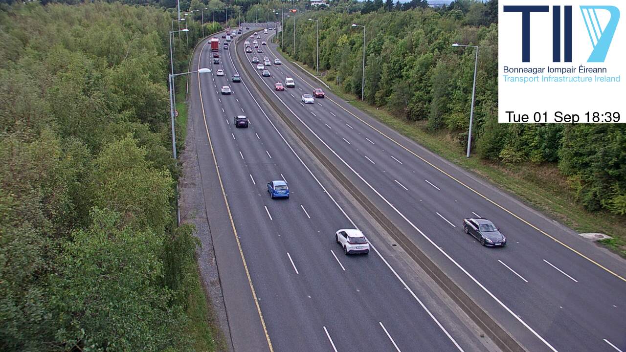
Webcams nahe Carrigvore



Geschichte rund um Carrigvore
Orte nahe Carrigvore
- Bray17 km entfernt
- Sandyford17 km entfernt
- Greystones17 km entfernt
- Tallaght18 km entfernt
- Rathfarnham19 km entfernt
- Dún Laoghaire22 km entfernt