Carrigvore
682 m2238 ft
Montaña · Montes Wicklow · Irlanda
Carrigvore at 682 metres (2,238 ft), is the 111th–highest peak in Ireland on the Arderin scale, and the 134th–highest peak on the Vandeleur-Lynam scale.
De Wikipedia, CC BY-SA · Leer el artículo
En la cumbre · pronóstico para las 7:00
4 °CNublado · viento de 33 km/h del SO
 Verla en 3D
Clima en la cumbre de Carrigvore, 682 m
- 7:004 °CSO 33 km/h–
- 10:006 °CO 34 km/h0,1 mm
- 13:007 °CO 28 km/h0,6 mm
- 16:006 °CO 26 km/h–
- 19:005 °CO 26 km/h–
- 22:004 °CSO 26 km/h–
- 1:006 °CSO 28 km/h0,1 mm
- 4:007 °CSO 28 km/h–
| Día | Cielo | Máx. / mín. | Lluvia | Viento hasta |
|---|---|---|---|---|
| Hoy | Lluvia débil | 7 °C / 4 °C | 0,7 mm | 37 km/h |
| mié, 28 oct | Parcialmente nublado | 11 °C / 5 °C | 0,1 mm | 29 km/h |
| jue, 29 oct | Nublado | 9 °C / 7 °C | 0,8 mm | 28 km/h |
| vie, 30 oct | Nublado | 11 °C / 8 °C | 6,6 mm | 29 km/h |
| sáb, 31 oct | Lluvia | 11 °C / 6 °C | 4,1 mm | 17 km/h |
| dom, 1 nov | Parcialmente nublado | 7 °C / 4 °C | – | 12 km/h |
| lun, 2 nov | Mayormente despejado | 8 °C / 2 °C | – | 11 km/h |
Pronóstico de MET Norway (CC BY 4.0), actualizado a las 05:20 GMT. Horas locales.
Ficha técnica
- Tipo
- Montaña
- Altitud sobre el nivel del mar
- 682 m (2238 ft)
- Cordillera
- Montes Wicklow
- País
- Irlanda
- Coordenadas
- 53.130°N 6.323°W
- Fuente
- Wikidata, CC0
Carrigvore
Mountain in County Wicklow, Ireland
Carrigvore at 682 metres (2,238 ft), is the 111th–highest peak in Ireland on the Arderin scale, and the 134th–highest peak on the Vandeleur-Lynam scale. Carrigvore is in the middle section of the Wicklow Mountains, in Ireland, and is part of a large north-east to south-west "boggy ridge" that runs from the Sally Gap to Carrigvore, and then on to Gravale 718 metres (2,356 ft); after a col, the ridge continues south-we…
De Wikipedia, CC BY-SA · Leer el artículo
Picos cerca de Carrigvore
- Gravale718 m · a 1,9 kmEn el mapa
- Duff Hill720 m · a 3,3 kmEn el mapa
- Luggala595 m · a 3,8 kmEn el mapa
- Cipiúr757 m · a 4,5 kmEn el mapa
- War Hill686 m · a 4,9 kmEn el mapa
- Tonduff642 m · a 5,1 kmEn el mapa
- Djouce725 m · a 5,5 kmEn el mapa
- Mullaghcleevaun849 m · a 6,3 kmEn el mapa
- Maulin570 m · a 6,8 kmEn el mapa
- Barnacullian714 m · a 7,1 kmEn el mapa
Los más altos de Montes Wicklow
- Log na Coille925 mEn el mapa
- Mullaghcleevaun849 mEn el mapa
- Camenabologue758 mEn el mapa
- Carrigvore682 mEn el mapa
- Keadeen Mountain653 mEn el mapa
Montañas más altas de Irlanda
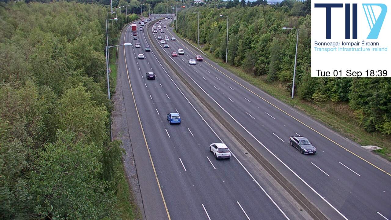
Cámaras web cerca de Carrigvore



Historia alrededor de Carrigvore
Ciudades cerca de Carrigvore
- Braya 17 km
- Sandyforda 17 km
- Greystonesa 17 km
- Tallaghta 18 km
- Rathfarnhama 19 km
- Dún Laoghairea 22 km