Edgehill Mountain
734 ft224 m
Berg · Vereinigte Staaten
Edgehill Mountain is one of the 46 hills of the City and County of San Francisco, California, located in the United States of America.
Aus Wikipedia, CC BY-SA · Artikel lesen
Am Gipfel · Vorhersage für 6:00
55 °FTeilweise bewölkt · Wind 21 mph aus NW
 In 3D ansehen
Wetter auf dem Gipfel: Edgehill Mountain, 734 ft
- 6:0055 °FNW 21 mph–
- 9:0055 °FNW 21 mph–
- 12:0058 °FNW 19 mph–
- 15:0060 °FNW 23 mph–
- 18:0057 °FNW 22 mph–
- 21:0056 °FNW 21 mph–
- 0:0054 °FNW 15 mph–
- 3:0052 °FNO 6 mph–
| Tag | Himmel | Max. / Min. | Regen | Wind bis |
|---|---|---|---|---|
| Heute | Teilweise bewölkt | 60 °F / 55 °F | – | 23 mph |
| Mi., 28. Okt. | Teilweise bewölkt | 60 °F / 50 °F | – | 15 mph |
| Do., 29. Okt. | Bewölkt | 62 °F / 53 °F | – | 9 mph |
| Fr., 30. Okt. | Klar | 59 °F / 55 °F | – | 14 mph |
| Sa., 31. Okt. | Klar | 57 °F / 53 °F | – | 11 mph |
| So., 1. Nov. | Klar | 59 °F / 50 °F | – | 11 mph |
| Mo., 2. Nov. | Bewölkt | 61 °F / 51 °F | – | 7 mph |
Vorhersage von MET Norway (CC BY 4.0), aktualisiert um 04:19 GMT-7. Zeiten in Ortszeit.
Fakten
- Art
- Berg
- Höhe über dem Meer
- 734 ft (224 m)
- Koordinaten
- 37.743°N 122.459°W
- Quelle
- Wikidata, CC0
Edgehill Mountain
Hill in San Francisco, California, United States
Edgehill Mountain is one of the 46 hills of the City and County of San Francisco, California, located in the United States of America. This hill is part of a western greenbelt that connects Mount Davidson, Hawk Hill, Twin Peaks, and the area around Laguna Honda Reservoir, which all run on the crest of a ridge of hill tops through the center of the city.
Aus Wikipedia, CC BY-SA · Artikel lesen
Gipfel nahe Edgehill Mountain
- Mount Davidson928 ft · 0,7 km entferntAuf der Karte
- Twin Peaks925 ft · 1,4 km entferntAuf der Karte
- Mount Sutro912 ft · 1,7 km entferntAuf der Karte
- Mount Olympus561 ft · 2,6 km entferntAuf der Karte
- Strawberry Hill404 ft · 3,2 km entferntAuf der Karte
- Lone Mountain421 ft · 4,1 km entferntAuf der Karte
- San Bruno Mountain1.319 ft · 6,5 km entferntAuf der Karte
- Nob Hill371 ft · 6,8 km entferntAuf der Karte
- Telegraph Hill299 ft · 8,1 km entferntAuf der Karte
- Ring Mountain603 ft · 19 km entferntAuf der Karte
Höchste Berge in Vereinigte Staaten
- Denali20.308 ftAuf der Karte
- Mount Saint Elias18.009 ftAuf der Karte
- Mount Foraker17.402 ftAuf der Karte
- Mount Bona16.535 ftAuf der Karte
- Mount Blackburn16.390 ftAuf der Karte
- Mount Sanford16.237 ftAuf der Karte
- Mount Vancouver15.787 ftAuf der Karte
- Mount Churchill15.636 ftAuf der Karte
- Mount Fairweather15.325 ftAuf der Karte
- Mount Hubbard14.951 ftAuf der Karte
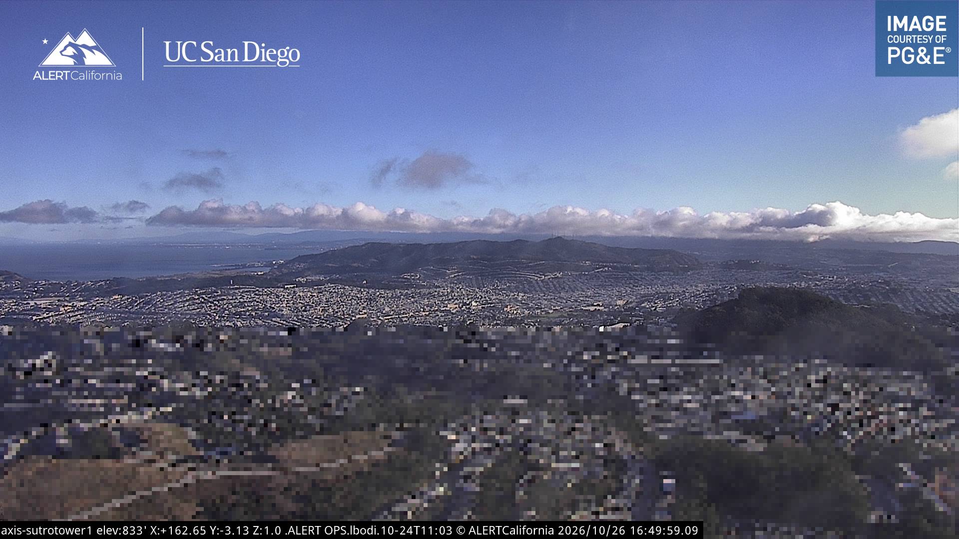
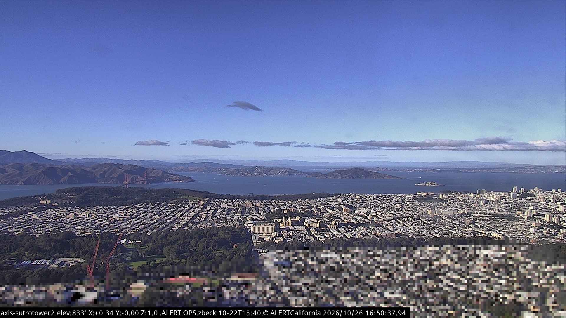
Webcams nahe Edgehill Mountain

Geschichte rund um Edgehill Mountain
- Earthquake — California: San Francisco1906
- Treaty of San Francisco1951
- The United Nations Charter is signed in San Francisco1945
- ANZUS1951
- Asiana Airlines Flight 2142013
- Burlingame Treaty1868
- Speaker Pelosi's husband Paul is attacked during an early morning break-in at the couple's San Francisco residence2022
- YouTube headquarters shooting2018
Orte nahe Edgehill Mountain
- Daly City4,1 km entfernt
- San Francisco5 km entfernt
- Bayview-Hunters Point7 km entfernt
- Colma7,4 km entfernt
- Brisbane10 km entfernt
- South San Francisco11 km entfernt