Mount Davidson
928 ft283 m
Berg · Vereinigte Staaten
Mount Davidson is the highest natural point in San Francisco, California, with an elevation of 928 feet (283 m). Located on the West Side of the city, Mount Davidson sits south of Twin Peaks and Portola Drive and to the west of Diamond Heights and Glen Park.
Aus Wikipedia, CC BY-SA · Artikel lesen
Am Gipfel · Vorhersage für 0:00
54 °FKlar · Wind 16 mph aus NW
 In 3D ansehen
Wetter auf dem Gipfel: Mount Davidson, 928 ft
- 0:0054 °FNW 16 mph–
- 3:0051 °FNO 5 mph–
- 6:0051 °FO 7 mph–
- 9:0050 °FNO 7 mph–
- 12:0057 °FNO 5 mph–
- 15:0058 °FW 9 mph–
- 18:0058 °FW 12 mph–
- 21:0056 °FNW 11 mph–
| Tag | Himmel | Max. / Min. | Regen | Wind bis |
|---|---|---|---|---|
| Heute | Klar | 59 °F / 49 °F | – | 16 mph |
| Do., 29. Okt. | Teilweise bewölkt | 61 °F / 51 °F | – | 10 mph |
| Fr., 30. Okt. | Klar | 58 °F / 55 °F | – | 14 mph |
| Sa., 31. Okt. | Teilweise bewölkt | 57 °F / 53 °F | – | 12 mph |
| So., 1. Nov. | Klar | 58 °F / 51 °F | – | 13 mph |
| Mo., 2. Nov. | Klar | 61 °F / 51 °F | – | 9 mph |
| Di., 3. Nov. | Teilweise bewölkt | 69 °F / 52 °F | – | 6 mph |
Vorhersage von MET Norway (CC BY 4.0), aktualisiert um 16:18 GMT-7. Zeiten in Ortszeit.
Fakten
- Art
- Berg
- Höhe über dem Meer
- 928 ft (283 m)
- Koordinaten
- 37.738°N 122.453°W
- Quelle
- Wikidata, CC0
Mount Davidson (California)
Highest point in San Francisco, US
Mount Davidson is the highest natural point in San Francisco, California, with an elevation of 928 feet (283 m). Located on the West Side of the city, Mount Davidson sits south of Twin Peaks and Portola Drive and to the west of Diamond Heights and Glen Park. It dominates the southeastern view from most of Portola Drive. It is one of San Francisco's many hills and one of its original "Seven Hills".
Aus Wikipedia, CC BY-SA · Artikel lesen
Gipfel nahe Mount Davidson
- Edgehill Mountain734 ft · 0,7 km entferntAuf der Karte
- Twin Peaks925 ft · 1,6 km entferntAuf der Karte
- Mount Sutro912 ft · 2,2 km entferntAuf der Karte
- Mount Olympus561 ft · 2,9 km entferntAuf der Karte
- Strawberry Hill404 ft · 3,9 km entferntAuf der Karte
- Lone Mountain421 ft · 4,5 km entferntAuf der Karte
- San Bruno Mountain1.319 ft · 5,9 km entferntAuf der Karte
- Nob Hill371 ft · 7 km entferntAuf der Karte
- Telegraph Hill299 ft · 8,3 km entferntAuf der Karte
- Ring Mountain603 ft · 19 km entferntAuf der Karte
Höchste Berge in Vereinigte Staaten
- Denali20.308 ftAuf der Karte
- Mount Saint Elias18.009 ftAuf der Karte
- Mount Foraker17.402 ftAuf der Karte
- Mount Bona16.535 ftAuf der Karte
- Mount Blackburn16.390 ftAuf der Karte
- Mount Sanford16.237 ftAuf der Karte
- Mount Vancouver15.787 ftAuf der Karte
- Mount Churchill15.636 ftAuf der Karte
- Mount Fairweather15.325 ftAuf der Karte
- Mount Hubbard14.951 ftAuf der Karte
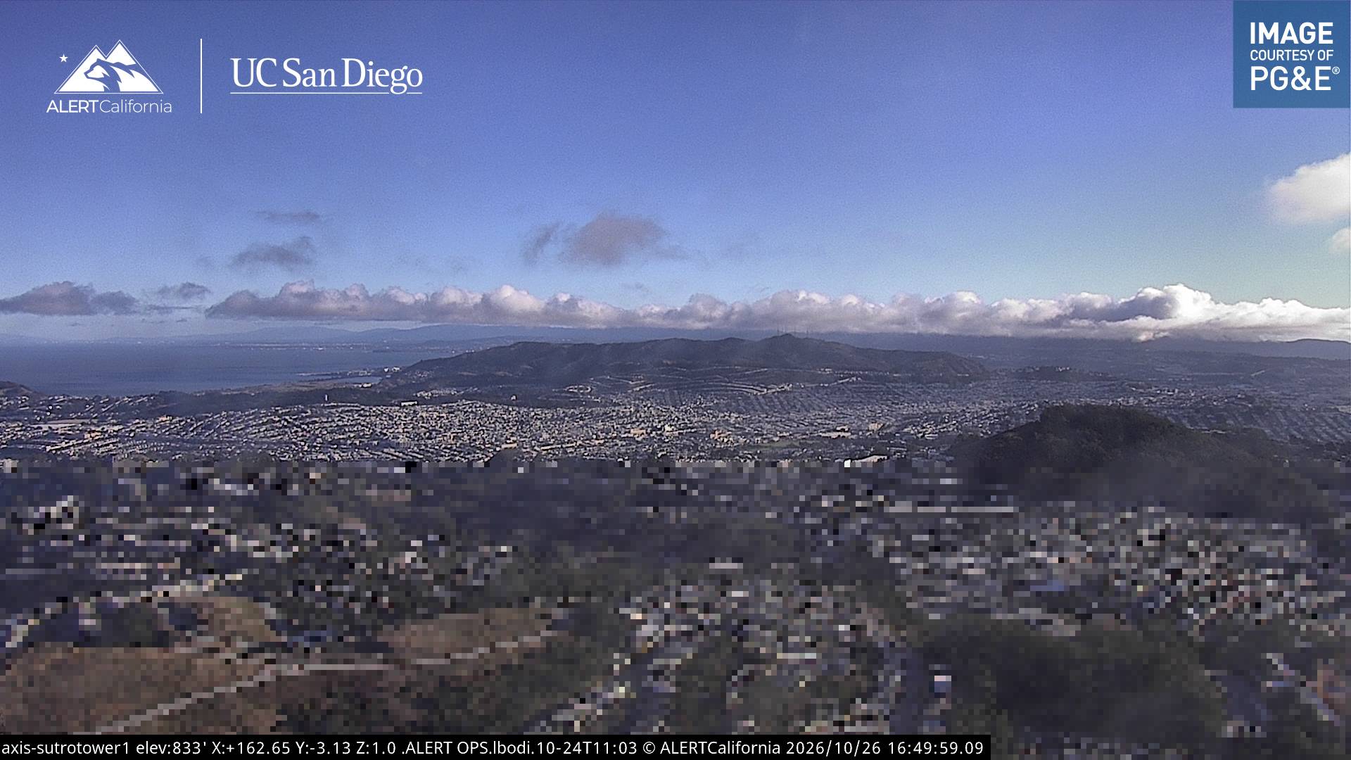
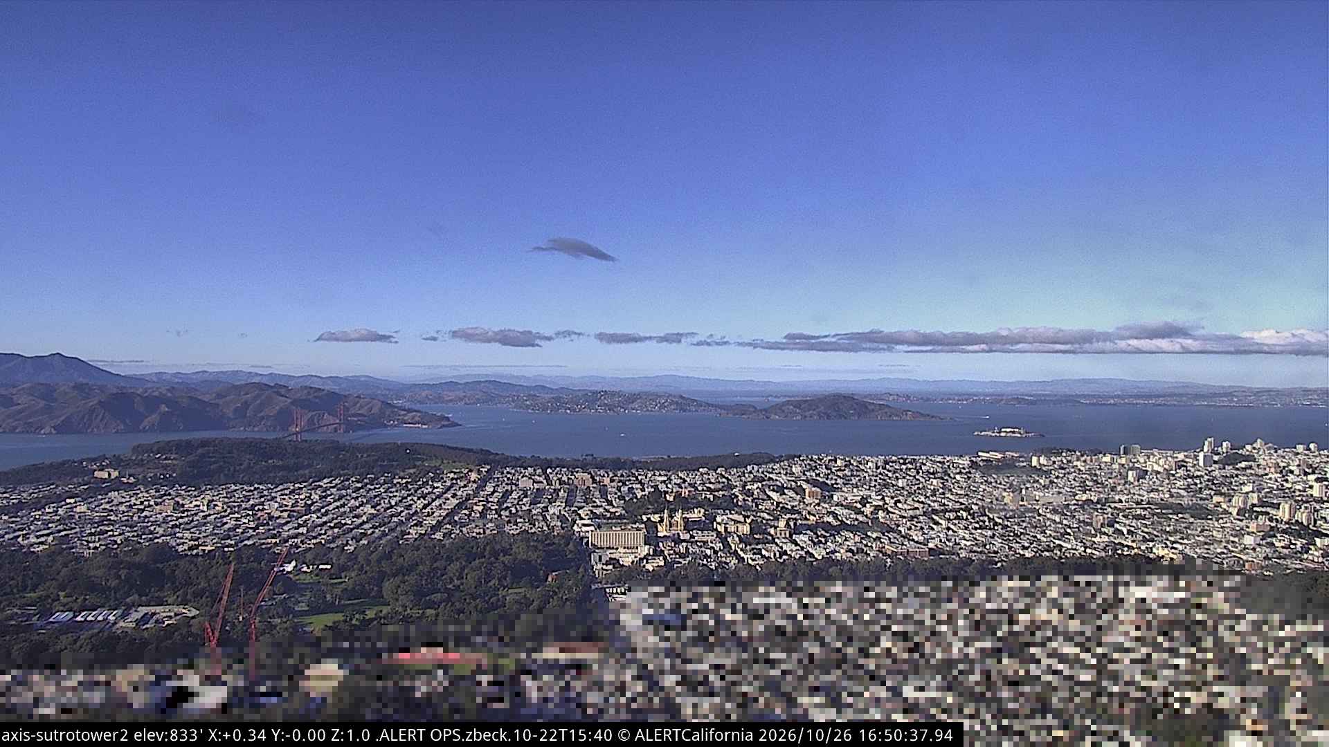
Webcams nahe Mount Davidson
Geschichte rund um Mount Davidson
- Earthquake — California: San Francisco1906
- Treaty of San Francisco1951
- The United Nations Charter is signed in San Francisco1945
- ANZUS1951
- Asiana Airlines Flight 2142013
- Burlingame Treaty1868
- Speaker Pelosi's husband Paul is attacked during an early morning break-in at the couple's San Francisco residence2022
- YouTube headquarters shooting2018
Orte nahe Mount Davidson
- Daly City3,7 km entfernt
- San Francisco5 km entfernt
- Bayview-Hunters Point6,4 km entfernt
- Colma6,8 km entfernt
- Brisbane9,3 km entfernt
- South San Francisco10 km entfernt