戴維森山
928 英尺283 米
山 · 美国
Mount Davidson is the highest natural point in San Francisco, California, with an elevation of 928 feet (283 m). Located on the West Side of the city, Mount Davidson sits south of Twin Peaks and Portola Drive and to the west of Diamond Heights and Glen Park.
来自Wikipedia,CC BY-SA · 阅读文章
山顶 · 18:00 的预报
57 °F多云 · 西北风 22 英里/小时
 3D 查看
戴維森山山顶天气,928 英尺
- 18:0057 °F西北 22 英里/小时–
- 21:0055 °F西北 20 英里/小时–
- 0:0054 °F西北 16 英里/小时–
- 3:0051 °F东北 5 英里/小时–
- 6:0051 °F东 7 英里/小时–
- 9:0050 °F东北 7 英里/小时–
- 12:0057 °F东北 5 英里/小时–
- 15:0058 °F西 9 英里/小时–
| 日期 | 天气 | 最高 / 最低 | 雨 | 最大风速 |
|---|---|---|---|---|
| 10月28日周三 | 晴 | 59 °F / 49 °F | – | 16 英里/小时 |
| 10月29日周四 | 多云 | 61 °F / 51 °F | – | 10 英里/小时 |
| 10月30日周五 | 晴 | 58 °F / 55 °F | – | 14 英里/小时 |
| 10月31日周六 | 多云 | 57 °F / 53 °F | – | 12 英里/小时 |
| 11月1日周日 | 晴 | 58 °F / 51 °F | – | 13 英里/小时 |
| 11月2日周一 | 晴 | 61 °F / 51 °F | – | 9 英里/小时 |
| 11月3日周二 | 多云 | 69 °F / 52 °F | – | 6 英里/小时 |
预报来自 MET Norway(CC BY 4.0),更新于 GMT-7 16:18。时间均为当地时间。
基本信息
Mount Davidson (California)
Highest point in San Francisco, US
Mount Davidson is the highest natural point in San Francisco, California, with an elevation of 928 feet (283 m). Located on the West Side of the city, Mount Davidson sits south of Twin Peaks and Portola Drive and to the west of Diamond Heights and Glen Park. It dominates the southeastern view from most of Portola Drive. It is one of San Francisco's many hills and one of its original "Seven Hills".
来自Wikipedia,CC BY-SA · 阅读文章
戴維森山附近的山峰
- Edgehill Mountain734 英尺 · 0.7 公里外地图上
- 雙峰925 英尺 · 1.6 公里外地图上
- Mount Sutro912 英尺 · 2.2 公里外地图上
- Mount Olympus561 英尺 · 2.9 公里外地图上
- Strawberry Hill404 英尺 · 3.9 公里外地图上
- Lone Mountain421 英尺 · 4.5 公里外地图上
- San Bruno Mountain1,319 英尺 · 5.9 公里外地图上
- 诺布山371 英尺 · 7 公里外地图上
- 电报山299 英尺 · 8.3 公里外地图上
- Ring Mountain603 英尺 · 19 公里外地图上
美国最高的山
戴維森山附近的网络摄像头
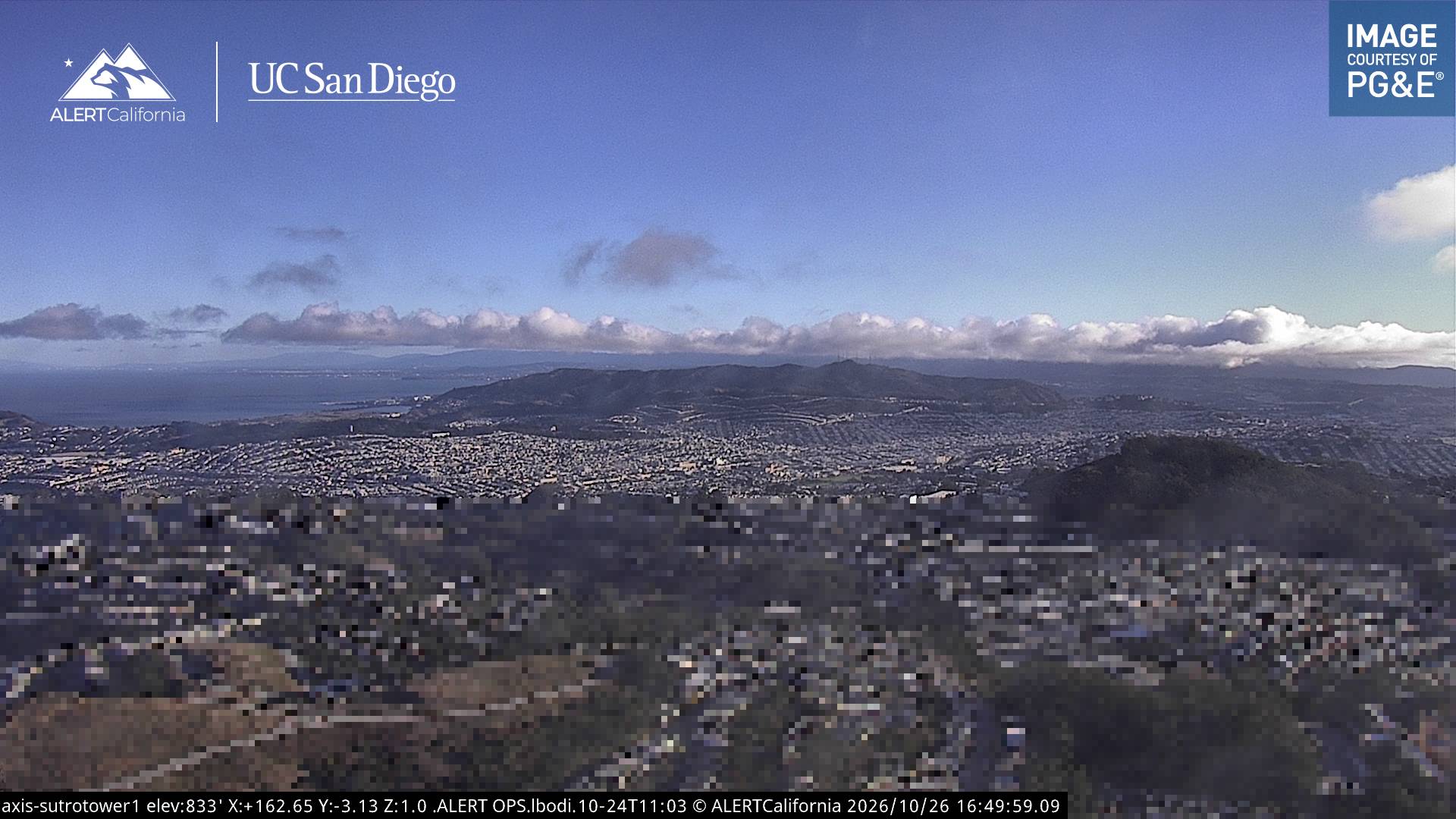
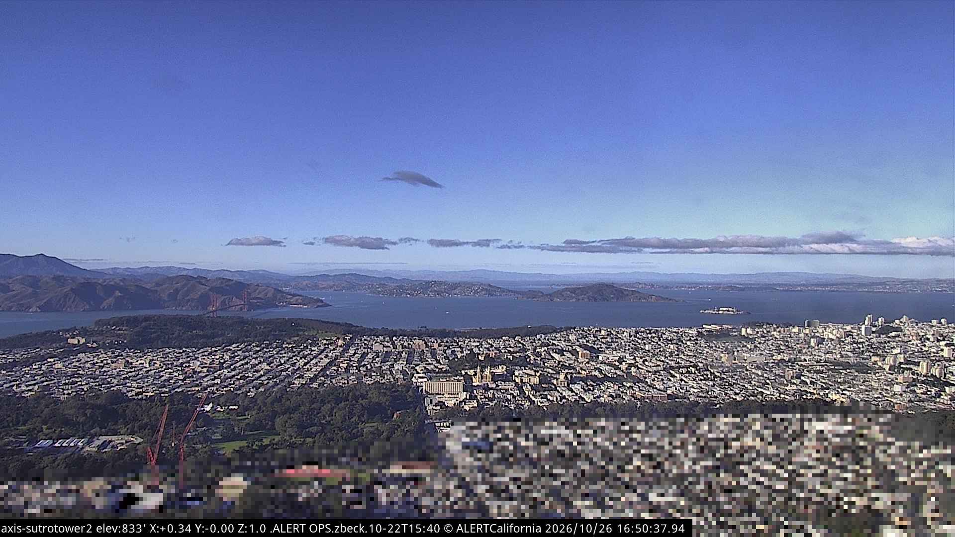
戴維森山周边的历史
- Earthquake — California: San Francisco1906
- Treaty of San Francisco1951
- The United Nations Charter is signed in San Francisco1945
- ANZUS1951
- Asiana Airlines Flight 2142013
- Burlingame Treaty1868
- Speaker Pelosi's husband Paul is attacked during an early morning break-in at the couple's San Francisco residence2022
- YouTube headquarters shooting2018