Mount Davidson
928 ft283 m
Montaña · Estados Unidos
Mount Davidson is the highest natural point in San Francisco, California, with an elevation of 928 feet (283 m). Located on the West Side of the city, Mount Davidson sits south of Twin Peaks and Portola Drive and to the west of Diamond Heights and Glen Park.
De Wikipedia, CC BY-SA · Leer el artículo
En la cumbre · pronóstico para las 2:00
52 °FDespejado · viento de 9 mph del N
 Verla en 3D
Clima en la cumbre de Mount Davidson, 928 ft
- 2:0052 °FN 9 mph–
- 5:0052 °FNE 7 mph–
- 8:0050 °FNE 7 mph–
- 11:0054 °FNE 6 mph–
- 14:0058 °FO 8 mph–
- 17:0059 °FO 12 mph–
- 20:0057 °FNO 12 mph–
- 23:0055 °FO 8 mph–
| Día | Cielo | Máx. / mín. | Lluvia | Viento hasta |
|---|---|---|---|---|
| Hoy | Despejado | 59 °F / 50 °F | – | 13 mph |
| jue, 29 oct | Nublado | 61 °F / 50 °F | – | 9 mph |
| vie, 30 oct | Despejado | 58 °F / 54 °F | – | 13 mph |
| sáb, 31 oct | Parcialmente nublado | 57 °F / 53 °F | – | 12 mph |
| dom, 1 nov | Despejado | 58 °F / 51 °F | – | 13 mph |
| lun, 2 nov | Despejado | 61 °F / 51 °F | – | 9 mph |
| mar, 3 nov | Parcialmente nublado | 69 °F / 52 °F | – | 6 mph |
Pronóstico de MET Norway (CC BY 4.0), actualizado a las 22:21 GMT-7. Horas locales.
Ficha técnica
- Tipo
- Montaña
- Altitud sobre el nivel del mar
- 928 ft (283 m)
- País
- Estados Unidos
- Coordenadas
- 37.738°N 122.453°W
- Fuente
- Wikidata, CC0
Mount Davidson (California)
Highest point in San Francisco, US
Mount Davidson is the highest natural point in San Francisco, California, with an elevation of 928 feet (283 m). Located on the West Side of the city, Mount Davidson sits south of Twin Peaks and Portola Drive and to the west of Diamond Heights and Glen Park. It dominates the southeastern view from most of Portola Drive. It is one of San Francisco's many hills and one of its original "Seven Hills".
De Wikipedia, CC BY-SA · Leer el artículo
Picos cerca de Mount Davidson
- Edgehill Mountain734 ft · a 0,7 kmEn el mapa
- Twin Peaks925 ft · a 1,6 kmEn el mapa
- Mount Sutro912 ft · a 2,2 kmEn el mapa
- Mount Olympus561 ft · a 2,9 kmEn el mapa
- Strawberry Hill404 ft · a 3,9 kmEn el mapa
- Lone Mountain421 ft · a 4,5 kmEn el mapa
- San Bruno Mountain1319 ft · a 5,9 kmEn el mapa
- Nob Hill371 ft · a 7 kmEn el mapa
- Telegraph Hill299 ft · a 8,3 kmEn el mapa
- Ring Mountain603 ft · a 19 kmEn el mapa
Montañas más altas de Estados Unidos
- Denali20.308 ftEn el mapa
- Monte San Elías18.009 ftEn el mapa
- Monte Foraker17.402 ftEn el mapa
- Monte Bona16.535 ftEn el mapa
- Monte Blackburn16.390 ftEn el mapa
- Monte Sanford16.237 ftEn el mapa
- Monte Vancouver15.787 ftEn el mapa
- Monte Churchill15.636 ftEn el mapa
- Monte Fairweather15.325 ftEn el mapa
- Mount Hubbard14.951 ftEn el mapa
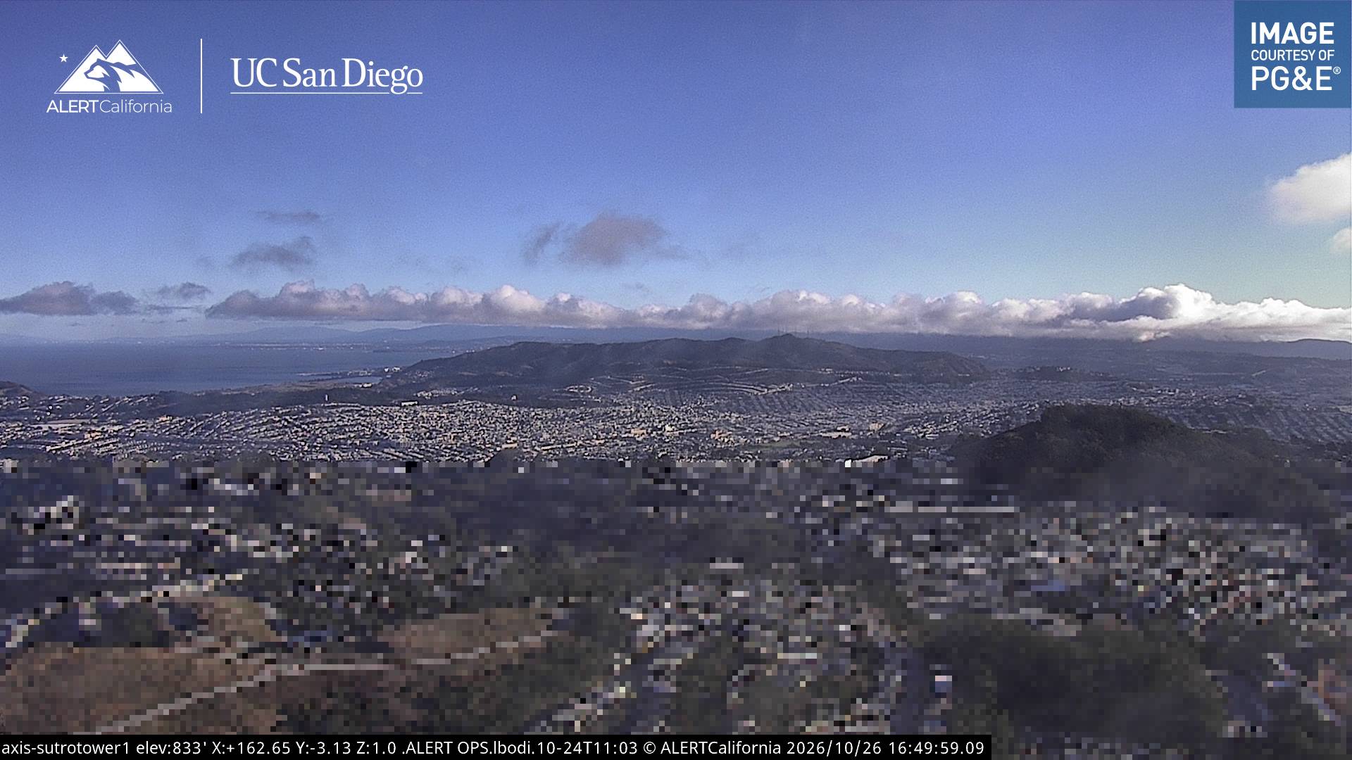
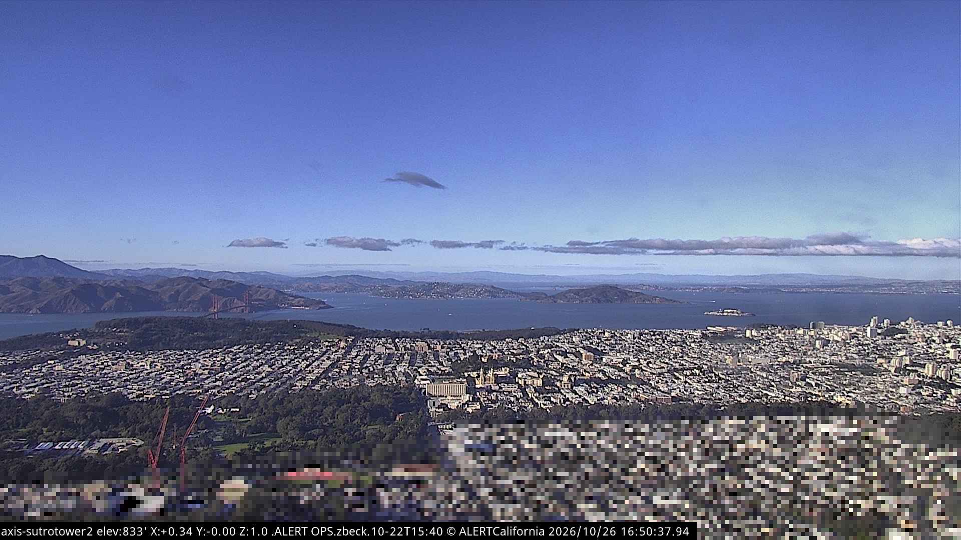
Cámaras web cerca de Mount Davidson
Historia alrededor de Mount Davidson
- Earthquake — California: San Francisco1906
- Treaty of San Francisco1951
- The United Nations Charter is signed in San Francisco1945
- ANZUS1951
- Asiana Airlines Flight 2142013
- Burlingame Treaty1868
- Speaker Pelosi's husband Paul is attacked during an early morning break-in at the couple's San Francisco residence2022
- YouTube headquarters shooting2018
Ciudades cerca de Mount Davidson
- Daly Citya 3,7 km
- San Franciscoa 5 km
- Bayview-Hunters Pointa 6,4 km
- Colmaa 6,8 km
- Brisbanea 9,3 km
- South San Franciscoa 10 km