Lone Mountain
421 ft128 m
Montaña · Estados Unidos
Lone Mountain is a neighborhood and a historic hill in west-central San Francisco, California. It is the present site of the northern half of the University of San Francisco's main campus.
De Wikipedia, CC BY-SA · Leer el artículo
En la cumbre · pronóstico para las 1:00
55 °FParcialmente nublado · viento de 3 mph del SE
 Verla en 3D
Clima en la cumbre de Lone Mountain, 421 ft
- 1:0055 °FSE 3 mph–
- 4:0054 °FSE 5 mph–
- 7:0053 °FNE 3 mph–
- 10:0057 °FE 3 mph–
- 13:0065 °FSE 3 mph–
- 16:0065 °FSO 7 mph–
- 19:0059 °FO 7 mph–
- 22:0058 °FSO 5 mph–
| Día | Cielo | Máx. / mín. | Lluvia | Viento hasta |
|---|---|---|---|---|
| Hoy | Nublado | 67 °F / 53 °F | – | 9 mph |
| vie, 30 oct | Despejado | 62 °F / 53 °F | – | 13 mph |
| sáb, 31 oct | Nublado | 61 °F / 53 °F | – | 8 mph |
| dom, 1 nov | Despejado | 63 °F / 53 °F | – | 9 mph |
| lun, 2 nov | Mayormente despejado | 63 °F / 52 °F | – | 10 mph |
| mar, 3 nov | Parcialmente nublado | 72 °F / 53 °F | – | 5 mph |
| mié, 4 nov | Mayormente despejado | 63 °F / 52 °F | – | 6 mph |
Pronóstico de MET Norway (CC BY 4.0), actualizado a las 18:17 GMT-7. Horas locales.
Ficha técnica
- Tipo
- Montaña
- Altitud sobre el nivel del mar
- 421 ft (128 m)
- País
- Estados Unidos
- Coordenadas
- 37.779°N 122.452°W
- Fuente
- Wikidata, CC0
Lone Mountain (California)
Neighborhood in San Francisco
Lone Mountain is a neighborhood and a historic hill in west-central San Francisco, California. It is the present site of the northern half of the University of San Francisco's main campus. It was once the location of the Lone Mountain Cemetery, a complex encompassing the Laurel Hill, Calvary, Masonic and Odd Fellows Cemeteries.
De Wikipedia, CC BY-SA · Leer el artículo
Picos cerca de Lone Mountain
- Mount Olympus561 ft · a 1,8 kmEn el mapa
- Strawberry Hill404 ft · a 2,3 kmEn el mapa
- Mount Sutro912 ft · a 2,4 kmEn el mapa
- Twin Peaks925 ft · a 3,1 kmEn el mapa
- Nob Hill371 ft · a 3,7 kmEn el mapa
- Edgehill Mountain734 ft · a 4,1 kmEn el mapa
- Mount Davidson928 ft · a 4,5 kmEn el mapa
- Telegraph Hill299 ft · a 4,8 kmEn el mapa
- San Bruno Mountain1319 ft · a 10 kmEn el mapa
- Ring Mountain603 ft · a 15 kmEn el mapa
Montañas más altas de Estados Unidos
- Denali20.308 ftEn el mapa
- Monte San Elías18.009 ftEn el mapa
- Monte Foraker17.402 ftEn el mapa
- Monte Bona16.535 ftEn el mapa
- Monte Blackburn16.390 ftEn el mapa
- Monte Sanford16.237 ftEn el mapa
- Monte Vancouver15.787 ftEn el mapa
- Monte Churchill15.636 ftEn el mapa
- Monte Fairweather15.325 ftEn el mapa
- Mount Hubbard14.951 ftEn el mapa
Cámaras web cerca de Lone Mountain

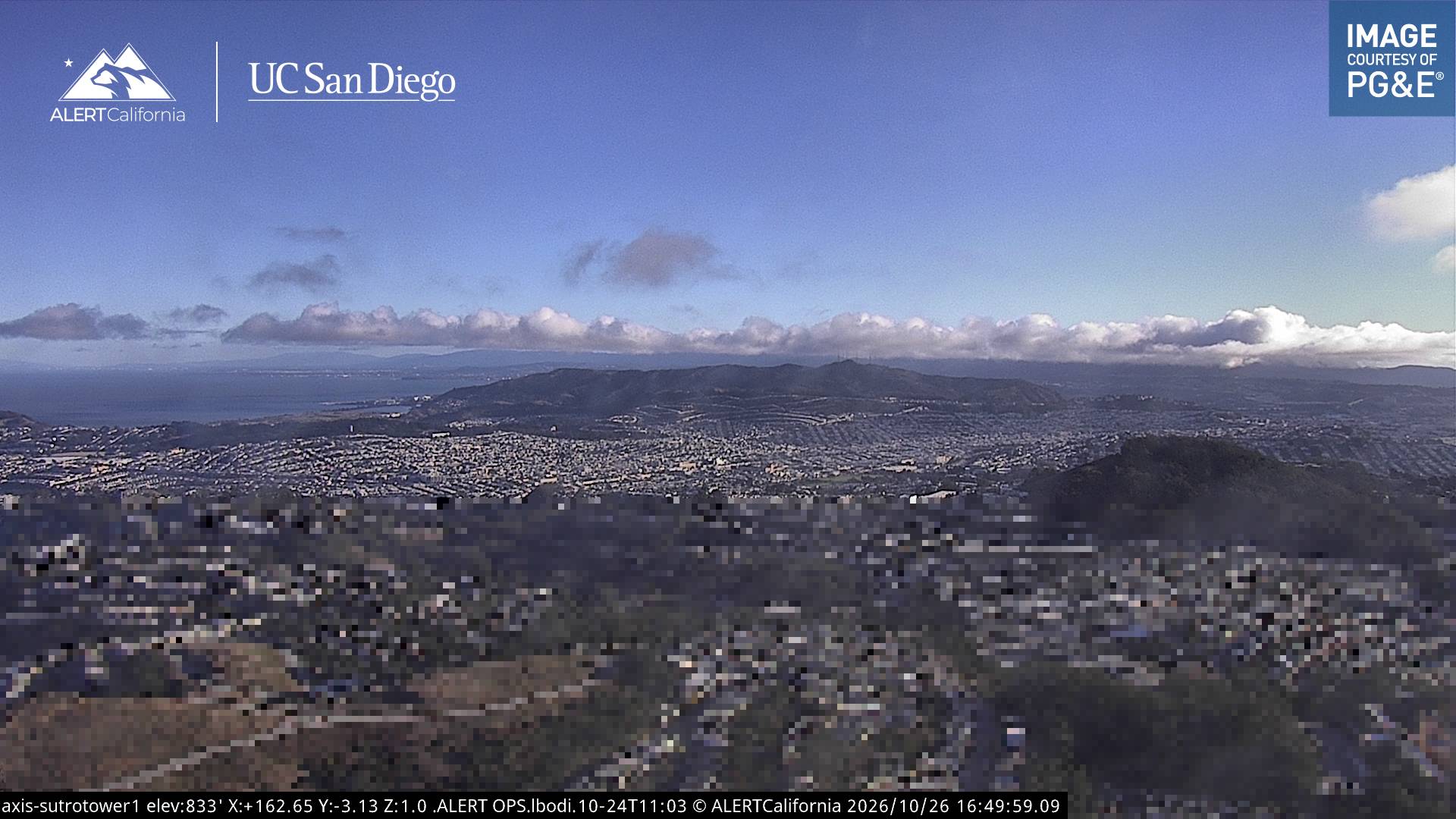
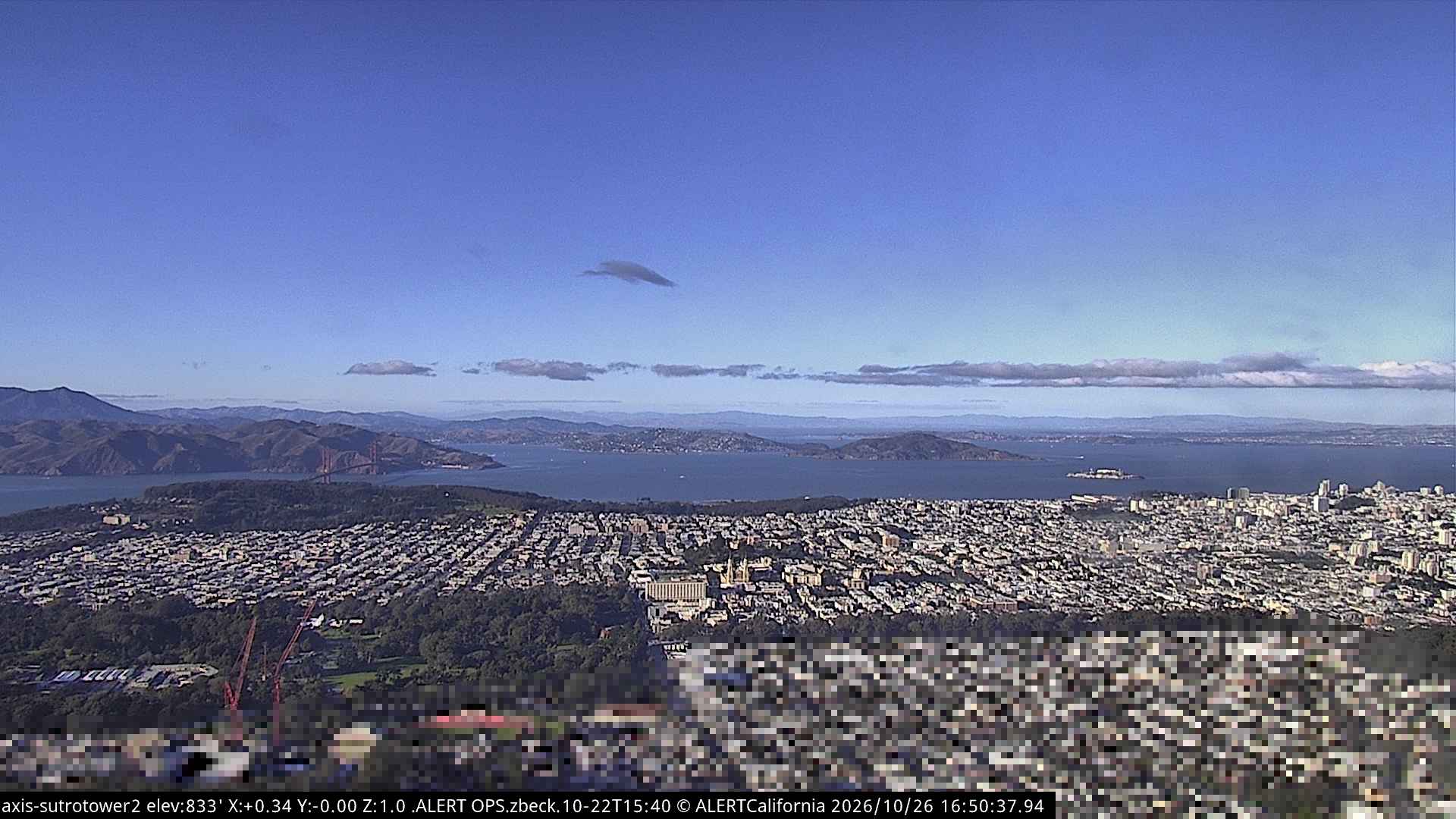
Historia alrededor de Lone Mountain
- Earthquake — California: San Francisco1906
- Treaty of San Francisco1951
- The United Nations Charter is signed in San Francisco1945
- ANZUS1951
- Asiana Airlines Flight 2142013
- Speaker Pelosi's husband Paul is attacked during an early morning break-in at the couple's San Francisco residence2022
- YouTube headquarters shooting2018
- UPS shooting in San Francisco2017
Ciudades cerca de Lone Mountain
- San Franciscoa 2,9 km
- Daly Citya 8,2 km
- Bayview-Hunters Pointa 8,4 km
- Sausalitoa 9,5 km
- Belvederea 11 km
- Colmaa 11 km