マウント・デビッドソン
928 ft283 m
山 · アメリカ合衆国
Mount Davidson is the highest natural point in San Francisco, California, with an elevation of 928 feet (283 m). Located on the West Side of the city, Mount Davidson sits south of Twin Peaks and Portola Drive and to the west of Diamond Heights and Glen Park.
出典: Wikipedia、CC BY-SA · 記事を読む
山頂 · 18:00 の予報
57 °F晴れ時々曇り · 北西の風 22 mph
 3D で見る
マウント・デビッドソン 山頂の天気(928 ft)
- 18:0057 °F北西 22 mph–
- 21:0055 °F北西 20 mph–
- 0:0054 °F北西 16 mph–
- 3:0051 °F北東 5 mph–
- 6:0051 °F東 7 mph–
- 9:0050 °F北東 7 mph–
- 12:0057 °F北東 5 mph–
- 15:0058 °F西 9 mph–
| 日付 | 天気 | 最高 / 最低 | 雨 | 最大風速 |
|---|---|---|---|---|
| 10月28日(水) | 快晴 | 59 °F / 49 °F | – | 16 mph |
| 10月29日(木) | 晴れ時々曇り | 61 °F / 51 °F | – | 10 mph |
| 10月30日(金) | 快晴 | 58 °F / 55 °F | – | 14 mph |
| 10月31日(土) | 晴れ時々曇り | 57 °F / 53 °F | – | 12 mph |
| 11月1日(日) | 快晴 | 58 °F / 51 °F | – | 13 mph |
| 11月2日(月) | 快晴 | 61 °F / 51 °F | – | 9 mph |
| 11月3日(火) | 晴れ時々曇り | 69 °F / 52 °F | – | 6 mph |
MET Norway(CC BY 4.0)による予報。16:18 GMT-7 更新。時刻は現地時間です。
基本データ
- 種類
- 山
- 標高
- 928 ft (283 m)
- 座標
- 37.738°N 122.453°W
Mount Davidson (California)
Highest point in San Francisco, US
Mount Davidson is the highest natural point in San Francisco, California, with an elevation of 928 feet (283 m). Located on the West Side of the city, Mount Davidson sits south of Twin Peaks and Portola Drive and to the west of Diamond Heights and Glen Park. It dominates the southeastern view from most of Portola Drive. It is one of San Francisco's many hills and one of its original "Seven Hills".
出典: Wikipedia、CC BY-SA · 記事を読む
マウント・デビッドソン周辺の山
- Edgehill Mountain734 ft · 0.7 km先地図上
- ツインピークス925 ft · 1.6 km先地図上
- スートロ山912 ft · 2.2 km先地図上
- オリンポス山561 ft · 2.9 km先地図上
- Strawberry Hill404 ft · 3.9 km先地図上
- Lone Mountain421 ft · 4.5 km先地図上
- サンブルーノ山1,319 ft · 5.9 km先地図上
- ノブ・ヒル371 ft · 7 km先地図上
- テレグラフ・ヒル299 ft · 8.3 km先地図上
- Ring Mountain603 ft · 19 km先地図上
アメリカ合衆国の高い山
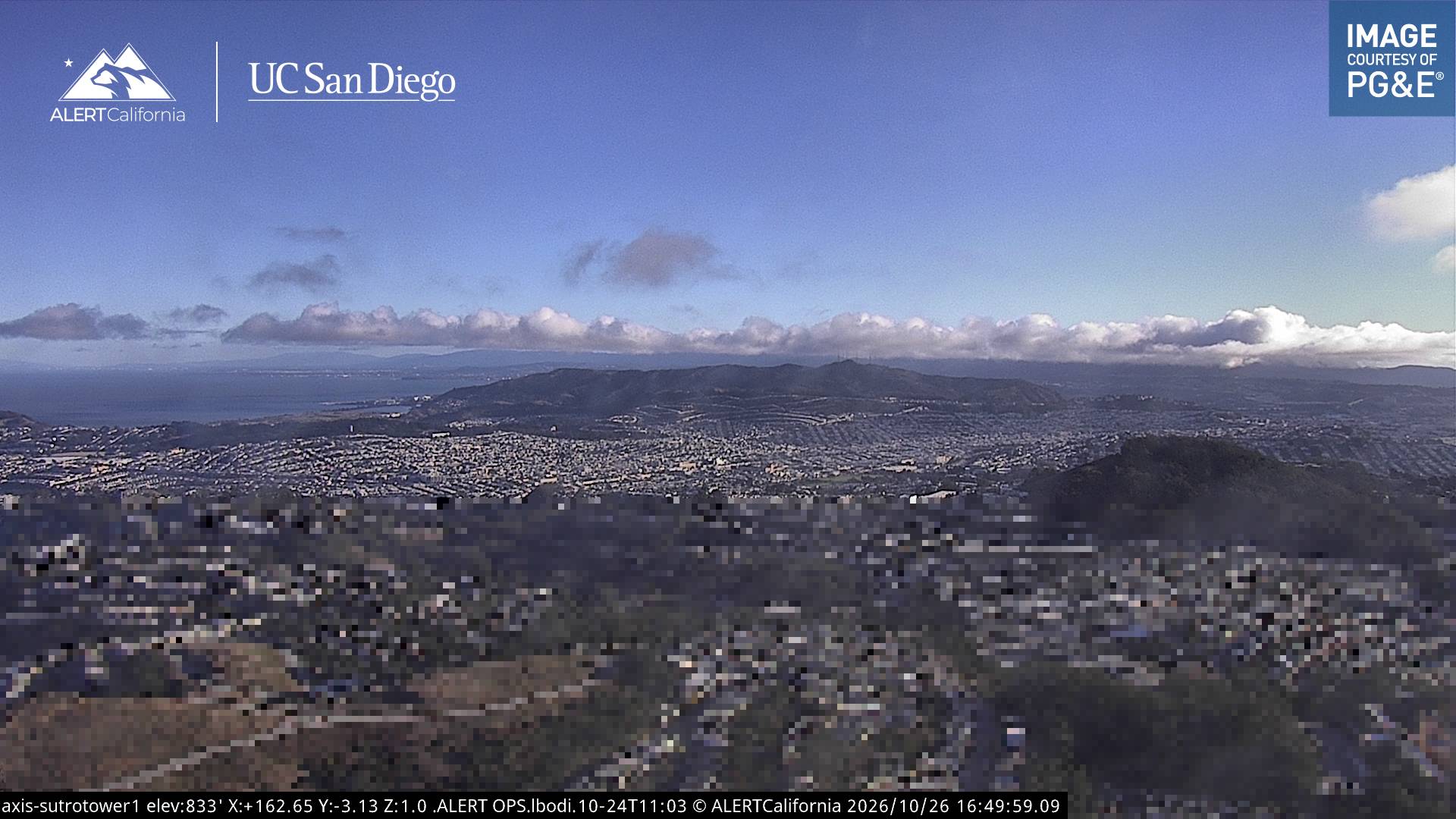
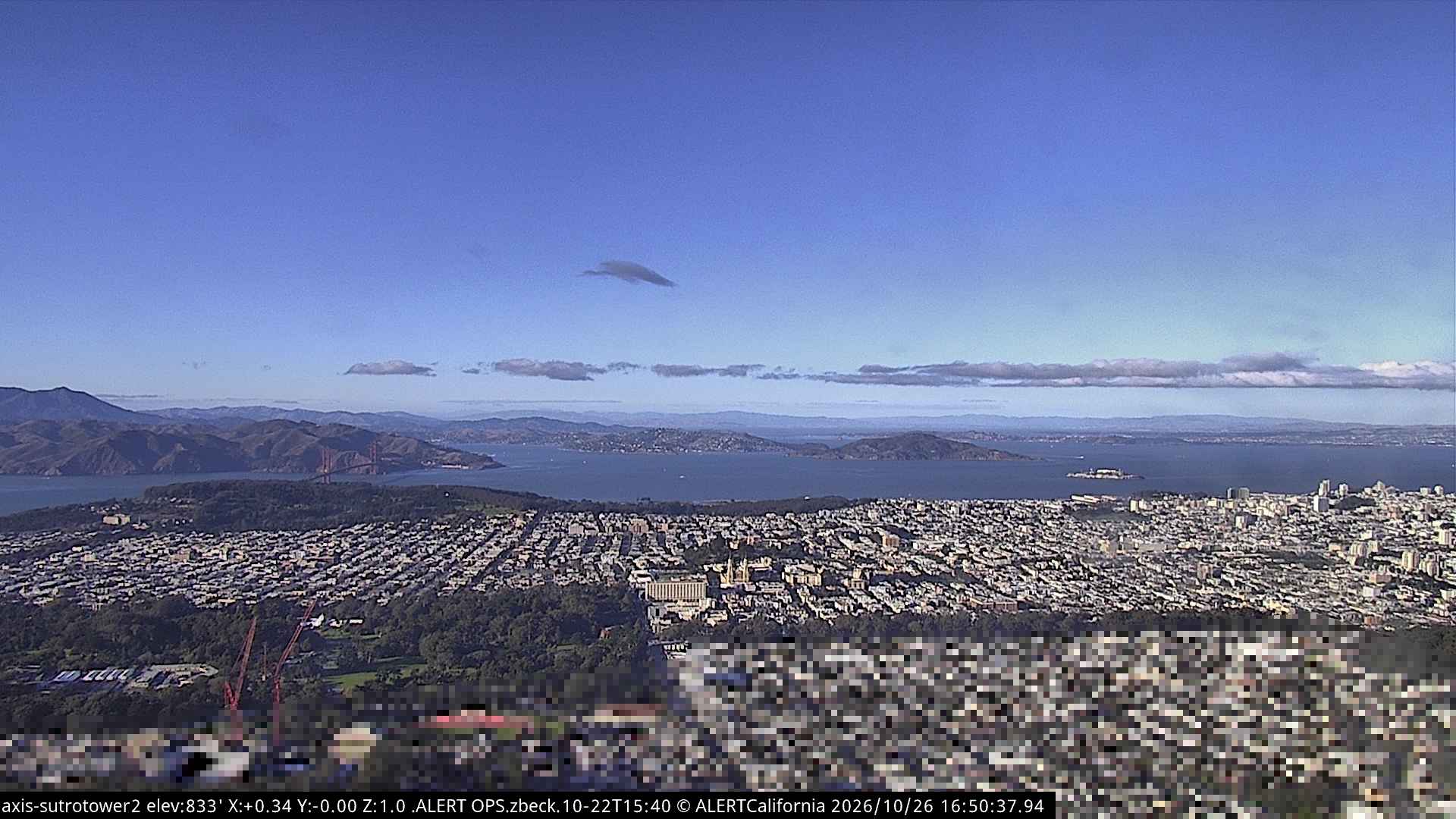
マウント・デビッドソン周辺のライブカメラ
マウント・デビッドソン周辺の歴史
- Earthquake — California: San Francisco1906
- Treaty of San Francisco1951
- The United Nations Charter is signed in San Francisco1945
- ANZUS1951
- Asiana Airlines Flight 2142013
- Burlingame Treaty1868
- Speaker Pelosi's husband Paul is attacked during an early morning break-in at the couple's San Francisco residence2022
- YouTube headquarters shooting2018
マウント・デビッドソン周辺の町
- デイリーシティ3.7 km先
- サンフランシスコ5 km先
- Bayview-Hunters Point6.4 km先
- Colma6.8 km先
- Brisbane9.3 km先
- サウスサンフランシスコ10 km先