Berge in Vereinigte Staaten
Fortification Hill
Berg · Black Mountains · Vereinigte Staaten
Fortification Hill is a prominence adjacent to Lake Mead in the Lake Mead National Recreation Area; it is located at the northwest terminus region of the Black Mountains (Arizona), and specifically the north region of the Black Mountains. It is near a southern section of Lake Mead, and just northeast of Hoover Dam.
Aus Wikipedia, CC BY-SA · Artikel lesen
Am Gipfel · Vorhersage für 3:00
63 °FKlar · Wind 2 mph aus O
 In 3D ansehen
Wettervorhersage für Fortification Hill
- 3:0063 °FO 2 mph–
- 6:0060 °FO 2 mph–
- 9:0065 °FO 3 mph–
- 12:0077 °FS 12 mph–
- 15:0079 °FS 17 mph–
- 18:0074 °FSO 15 mph–
- 21:0070 °FS 11 mph–
- 0:0067 °FS 7 mph–
| Tag | Himmel | Max. / Min. | Regen | Wind bis |
|---|---|---|---|---|
| Heute | Klar | 79 °F / 58 °F | – | 17 mph |
| Mi., 28. Okt. | Teilweise bewölkt | 79 °F / 60 °F | – | 14 mph |
| Do., 29. Okt. | Bewölkt | 76 °F / 59 °F | – | 12 mph |
| Fr., 30. Okt. | Regen | 66 °F / 60 °F | 0,35 in | 6 mph |
| Sa., 31. Okt. | Bewölkt | 66 °F / 57 °F | 0,11 in | 9 mph |
| So., 1. Nov. | Bewölkt | 64 °F / 58 °F | 0,15 in | 4 mph |
| Mo., 2. Nov. | Klar | 65 °F / 55 °F | – | 12 mph |
Vorhersage von MET Norway (CC BY 4.0), aktualisiert um 22:20 GMT-7. Zeiten in Ortszeit.
Fakten
- Art
- Berg
- Schartenhöhe
- 863 ft (263 m)
- Gebirge
- Black Mountains
- Koordinaten
- 36.044°N 114.681°W
- Quelle
- Wikidata, CC0
Gipfel nahe Fortification Hill
- Mount Wilson5.446 ft · 8,2 km entferntAuf der Karte
- Muddy Peak5.387 ft · 28 km entferntAuf der Karte
- Frenchman Mountain4.056 ft · 32 km entferntAuf der Karte
- Sunrise Mountain3.366 ft · 33 km entferntAuf der Karte
- Black Mountain5.093 ft · 35 km entferntAuf der Karte
- Gass Peak6.943 ft · 60 km entferntAuf der Karte
- Gale HillsHügel · 25 km entferntAuf der Karte
- Elephant RockBerg · 47 km entferntAuf der Karte
- Exploration PeakBerg · 52 km entferntAuf der Karte
- Mormon MesaBerg · 59 km entferntAuf der Karte
Die höchsten: Black Mountains
- Mount Wilson5.446 ftAuf der Karte
- Boundary Cone3.432 ftAuf der Karte
Höchste Berge in Vereinigte Staaten
- Denali20.308 ftAuf der Karte
- Mount Saint Elias18.009 ftAuf der Karte
- Mount Foraker17.402 ftAuf der Karte
- Mount Bona16.535 ftAuf der Karte
- Mount Blackburn16.390 ftAuf der Karte
- Mount Sanford16.237 ftAuf der Karte
- Mount Vancouver15.787 ftAuf der Karte
- Mount Churchill15.636 ftAuf der Karte
- Mount Fairweather15.325 ftAuf der Karte
- Mount Hubbard14.951 ftAuf der Karte
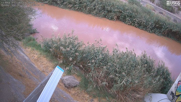
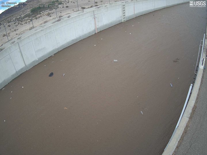
Webcams nahe Fortification Hill
Orte nahe Fortification Hill
- Boulder City15 km entfernt
- Henderson27 km entfernt
- Whitney32 km entfernt
- Sunrise Manor40 km entfernt
- Winchester40 km entfernt
- Paradise42 km entfernt