Montañas de Estados Unidos
Fortification Hill
Montaña · Black Mountains · Estados Unidos
Fortification Hill is a prominence adjacent to Lake Mead in the Lake Mead National Recreation Area; it is located at the northwest terminus region of the Black Mountains (Arizona), and specifically the north region of the Black Mountains. It is near a southern section of Lake Mead, and just northeast of Hoover Dam.
De Wikipedia, CC BY-SA · Leer el artículo
En la cumbre · pronóstico para las 5:00
61 °FDespejado · viento de 2 mph del E
 Verla en 3D
Pronóstico del tiempo en Fortification Hill
- 5:0061 °FE 2 mph–
- 8:0061 °FE 3 mph–
- 11:0074 °FS 8 mph–
- 14:0079 °FS 17 mph–
- 17:0077 °FS 17 mph–
- 20:0071 °FS 12 mph–
- 23:0067 °FS 8 mph–
- 2:0065 °FS 7 mph–
| Día | Cielo | Máx. / mín. | Lluvia | Viento hasta |
|---|---|---|---|---|
| Hoy | Despejado | 79 °F / 59 °F | – | 17 mph |
| mié, 28 oct | Mayormente despejado | 79 °F / 60 °F | – | 14 mph |
| jue, 29 oct | Nublado | 79 °F / 59 °F | – | 12 mph |
| vie, 30 oct | Lluvia | 67 °F / 58 °F | 0,22 pulg. | 7 mph |
| sáb, 31 oct | Lluvia | 66 °F / 57 °F | 0,31 pulg. | 10 mph |
| dom, 1 nov | Lluvia débil | 67 °F / 58 °F | 0,04 pulg. | 8 mph |
| lun, 2 nov | Despejado | 64 °F / 53 °F | – | 14 mph |
Pronóstico de MET Norway (CC BY 4.0), actualizado a las 04:19 GMT-7. Horas locales.
Ficha técnica
- Tipo
- Montaña
- Prominencia
- 863 ft (263 m)
- Cordillera
- Black Mountains
- País
- Estados Unidos
- Coordenadas
- 36.044°N 114.681°W
- Fuente
- Wikidata, CC0
Picos cerca de Fortification Hill
- Mount Wilson5446 ft · a 8,2 kmEn el mapa
- Muddy Peak5387 ft · a 28 kmEn el mapa
- Frenchman Mountain4056 ft · a 32 kmEn el mapa
- Sunrise Mountain3366 ft · a 33 kmEn el mapa
- Black Mountain5093 ft · a 35 kmEn el mapa
- Gass Peak6943 ft · a 60 kmEn el mapa
- Gale HillsColina · a 25 kmEn el mapa
- Elephant RockMontaña · a 47 kmEn el mapa
- Exploration PeakMontaña · a 52 kmEn el mapa
- Mormon MesaMontaña · a 59 kmEn el mapa
Los más altos de Black Mountains
- Mount Wilson5446 ftEn el mapa
- Boundary Cone3432 ftEn el mapa
Montañas más altas de Estados Unidos
- Denali20.308 ftEn el mapa
- Monte San Elías18.009 ftEn el mapa
- Monte Foraker17.402 ftEn el mapa
- Monte Bona16.535 ftEn el mapa
- Monte Blackburn16.390 ftEn el mapa
- Monte Sanford16.237 ftEn el mapa
- Monte Vancouver15.787 ftEn el mapa
- Monte Churchill15.636 ftEn el mapa
- Monte Fairweather15.325 ftEn el mapa
- Mount Hubbard14.951 ftEn el mapa
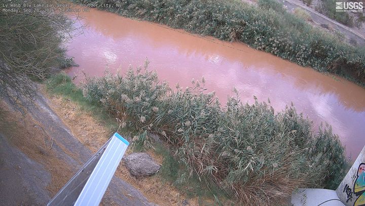
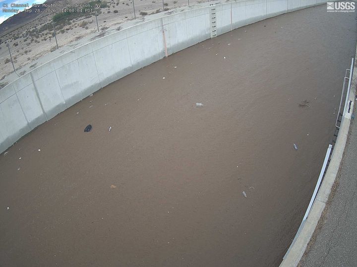
Cámaras web cerca de Fortification Hill
Ciudades cerca de Fortification Hill
- Boulder Citya 15 km
- Hendersona 27 km
- Whitneya 32 km
- Sunrise Manora 40 km
- Winchestera 40 km
- Paradisea 42 km