Knocknahillion
607 m1.991 ft
Berg · Maumturks · Irland
Knocknahillion is one of the Maumturk Mountains of Connemara in County Galway, Ireland. At 607 metres (1,991 ft), it is the 210th–highest peak in Ireland on the Arderin list, and 256th–highest on the Vandeleur-Lynam list.
Aus Wikipedia, CC BY-SA · Artikel lesen
Am Gipfel · Vorhersage für 0:00
8 °CRegen · Wind 33 km/h aus SW
 In 3D ansehen
Wetter auf dem Gipfel: Knocknahillion, 607 m
- 0:008 °CSW 33 km/h1 mm
- 3:008 °CW 31 km/h0,6 mm
- 6:008 °CSW 24 km/h0,3 mm
- 9:008 °CSW 20 km/h0,6 mm
- 12:0010 °CSW 24 km/h0,5 mm
- 15:0010 °CSW 21 km/h0,6 mm
- 18:009 °CS 18 km/h0,3 mm
- 21:009 °CS 22 km/h0,6 mm
| Tag | Himmel | Max. / Min. | Regen | Wind bis |
|---|---|---|---|---|
| Mi., 28. Okt. | Leichter Regen | 10 °C / 8 °C | 4,5 mm | 33 km/h |
| Do., 29. Okt. | Bewölkt | 11 °C / 8 °C | 0,9 mm | 35 km/h |
| Fr., 30. Okt. | Überwiegend klar | 11 °C / 6 °C | 9,8 mm | 32 km/h |
| Sa., 31. Okt. | Regen | 10 °C / 6 °C | 10,7 mm | 13 km/h |
| So., 1. Nov. | Teilweise bewölkt | 8 °C / 4 °C | – | 15 km/h |
| Mo., 2. Nov. | Bewölkt | 8 °C / 5 °C | – | 22 km/h |
| Di., 3. Nov. | Bewölkt | 9 °C / 5 °C | 0,4 mm | 19 km/h |
Vorhersage von MET Norway (CC BY 4.0), aktualisiert um 19:17 GMT. Zeiten in Ortszeit.
Fakten
- Art
- Berg
- Höhe über dem Meer
- 607 m (1.991 ft)
- Schartenhöhe
- 152 m (499 ft)
- Gebirge
- Maumturks
- Land
- Irland
- Koordinaten
- 53.522°N 9.704°W
- Quelle
- Wikidata, CC0
Knocknahillion
Mountain in County Galway, Ireland
Knocknahillion is one of the Maumturk Mountains of Connemara in County Galway, Ireland. At 607 metres (1,991 ft), it is the 210th–highest peak in Ireland on the Arderin list, and 256th–highest on the Vandeleur-Lynam list. Knocknahillion is in the middle sector of the long north-west to the south-east spine of the Maumturks.
Aus Wikipedia, CC BY-SA · Artikel lesen
Gipfel nahe Knocknahillion
- Letterbreckaun667 m · 1,9 km entferntAuf der Karte
- Binn idir an dá Log702 m · 2 km entferntAuf der Karte
- Binn Chaonaigh633 m · 3,7 km entferntAuf der Karte
- Leenaun Hill618 m · 5,6 km entferntAuf der Karte
- Binn Mhór661 m · 6,5 km entferntAuf der Karte
- Bencorr711 m · 6,8 km entferntAuf der Karte
- Bencollaghduff696 m · 7,3 km entferntAuf der Karte
- Mullach Glas622 m · 8,1 km entferntAuf der Karte
- Benbaun729 m · 8,4 km entferntAuf der Karte
- Corcogemore609 m · 9,4 km entferntAuf der Karte
Die höchsten: Maumturks
- Binn idir an dá Log702 mAuf der Karte
- Letterbreckaun667 mAuf der Karte
- Binn Mhór661 mAuf der Karte
- Leenaun Hill618 mAuf der Karte
- Knocknahillion607 mAuf der Karte
- Lackavrea396 mAuf der Karte
Höchste Berge in Irland
- Carrantuohill1.039 mAuf der Karte
- Mount Brandon952 mAuf der Karte
- Lugnaquilla925 mAuf der Karte
- Galtymore918 mAuf der Karte
- Baurtregaum851 mAuf der Karte
- Mullaghcleevaun849 mAuf der Karte
- Mangerton Mountain838 mAuf der Karte
- Purple Mountain832 mAuf der Karte
- Beenoskee826 mAuf der Karte
- Mweelrea814 mAuf der Karte
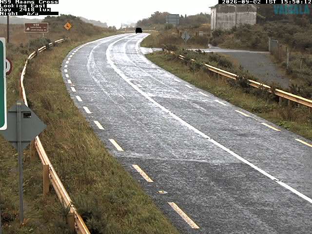
Webcams nahe Knocknahillion
Geschichte rund um Knocknahillion
Orte nahe Knocknahillion
- Galway51 km entfernt