Red Shirt Table
Berg · Vereinigte Staaten
Red Shirt Table is a tableland in Oglala Lakota County, South Dakota, within the Pine Ridge Indian Reservation of the Oglala Sioux Tribe.
Aus Wikipedia, CC BY-SA · Artikel lesen
Am Gipfel · Vorhersage für 21:00
34 °FBewölkt · Wind 6 mph aus SO
 In 3D ansehen
Wettervorhersage für Red Shirt Table
- 21:0034 °FSO 6 mph–
- 0:0035 °FSO 5 mph–
- 3:0033 °FSO 6 mph–
- 6:0031 °FS 4 mph–
- 9:0038 °FS 13 mph–
- 12:0061 °FS 11 mph–
- 15:0066 °FW 15 mph–
- 18:0056 °FNW 4 mph–
| Tag | Himmel | Max. / Min. | Regen | Wind bis |
|---|---|---|---|---|
| Di., 27. Okt. | Überwiegend klar | 66 °F / 31 °F | – | 15 mph |
| Mi., 28. Okt. | Klar | 61 °F / 41 °F | – | 17 mph |
| Do., 29. Okt. | Teilweise bewölkt | 62 °F / 39 °F | – | 11 mph |
| Fr., 30. Okt. | Bewölkt | 56 °F / 42 °F | – | 6 mph |
| Sa., 31. Okt. | Klar | 64 °F / 47 °F | – | 15 mph |
| So., 1. Nov. | Bewölkt | 63 °F / 46 °F | 0,47 in | 17 mph |
| Mo., 2. Nov. | Starker Regen | 42 °F / 36 °F | 0,7 in | 29 mph |
Vorhersage von MET Norway (CC BY 4.0), aktualisiert um 19:17 GMT-6. Zeiten in Ortszeit.
Fakten
- Art
- Berg
- Koordinaten
- 43.583°N 102.900°W
- Quelle
- Wikidata, CC0
Red Shirt Table
Tableland in South Dakota
Red Shirt Table is a tableland in Oglala Lakota County, South Dakota, within the Pine Ridge Indian Reservation of the Oglala Sioux Tribe. The table, named after Chief Red Shirt is approximately 10 miles (16 km) long, generally extending in a north–south direction, and is located along the western boundary of Badlands National Park's Stronghold Unit.
Aus Wikipedia, CC BY-SA · Artikel lesen
Gipfel nahe Red Shirt Table
- Iron Mountain5.446 ft · 53 km entferntAuf der Karte
- Cicero Peak6.168 ft · 54 km entferntAuf der Karte
- Mount Rushmore5.725 ft · 56 km entferntAuf der Karte
- Needles6.959 ft · 59 km entferntAuf der Karte
Höchste Berge in Vereinigte Staaten
- Denali20.308 ftAuf der Karte
- Mount Saint Elias18.009 ftAuf der Karte
- Mount Foraker17.402 ftAuf der Karte
- Mount Bona16.535 ftAuf der Karte
- Mount Blackburn16.390 ftAuf der Karte
- Mount Sanford16.237 ftAuf der Karte
- Mount Vancouver15.787 ftAuf der Karte
- Mount Churchill15.636 ftAuf der Karte
- Mount Fairweather15.325 ftAuf der Karte
- Mount Hubbard14.951 ftAuf der Karte
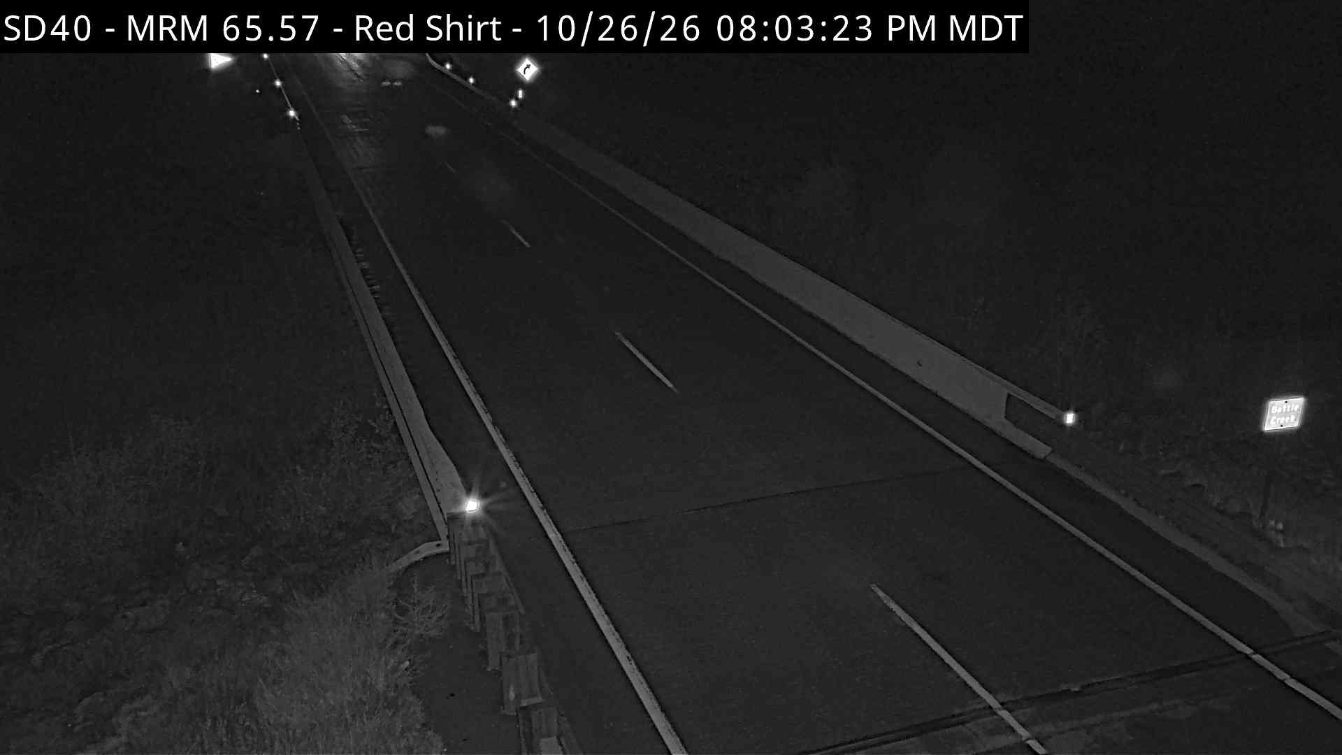
Webcams nahe Red Shirt Table



Orte nahe Red Shirt Table
- Hot Springs49 km entfernt
- Rapid City61 km entfernt
- Summerset77 km entfernt