美国的山
Red Shirt Table
山 · 美国
Red Shirt Table is a tableland in Oglala Lakota County, South Dakota, within the Pine Ridge Indian Reservation of the Oglala Sioux Tribe.
来自Wikipedia,CC BY-SA · 阅读文章
山顶 · 8:00 的预报
34 °F多云 · 南风 10 英里/小时
 3D 查看
Red Shirt Table天气预报
- 8:0034 °F南 10 英里/小时–
- 11:0057 °F南 11 英里/小时–
- 14:0067 °F西 16 英里/小时–
- 17:0062 °F西 5 英里/小时–
- 20:0045 °F东 7 英里/小时–
- 23:0042 °F西 5 英里/小时–
- 2:0041 °F西北 4 英里/小时–
- 5:0040 °F西 6 英里/小时–
| 日期 | 天气 | 最高 / 最低 | 雨 | 最大风速 |
|---|---|---|---|---|
| 今天 | 晴 | 67 °F / 34 °F | – | 17 英里/小时 |
| 10月28日周三 | 少云 | 62 °F / 39 °F | – | 16 英里/小时 |
| 10月29日周四 | 多云 | 68 °F / 38 °F | – | 13 英里/小时 |
| 10月30日周五 | 阴 | 52 °F / 40 °F | – | 6 英里/小时 |
| 10月31日周六 | 阴 | 63 °F / 51 °F | 0.01 英寸 | 10 英里/小时 |
| 11月1日周日 | 阴 | 59 °F / 50 °F | 0.12 英寸 | 13 英里/小时 |
| 11月2日周一 | 大雨 | 52 °F / 44 °F | 0.57 英寸 | 24 英里/小时 |
预报来自 MET Norway(CC BY 4.0),更新于 GMT-6 05:19。时间均为当地时间。
基本信息
Red Shirt Table
Tableland in South Dakota
Red Shirt Table is a tableland in Oglala Lakota County, South Dakota, within the Pine Ridge Indian Reservation of the Oglala Sioux Tribe. The table, named after Chief Red Shirt is approximately 10 miles (16 km) long, generally extending in a north–south direction, and is located along the western boundary of Badlands National Park's Stronghold Unit.
来自Wikipedia,CC BY-SA · 阅读文章
Red Shirt Table附近的山峰
- Iron Mountain5,446 英尺 · 53 公里外地图上
- Cicero Peak6,168 英尺 · 54 公里外地图上
- 拉什莫尔山5,725 英尺 · 56 公里外地图上
- 尼德尔斯6,959 英尺 · 59 公里外地图上
美国最高的山
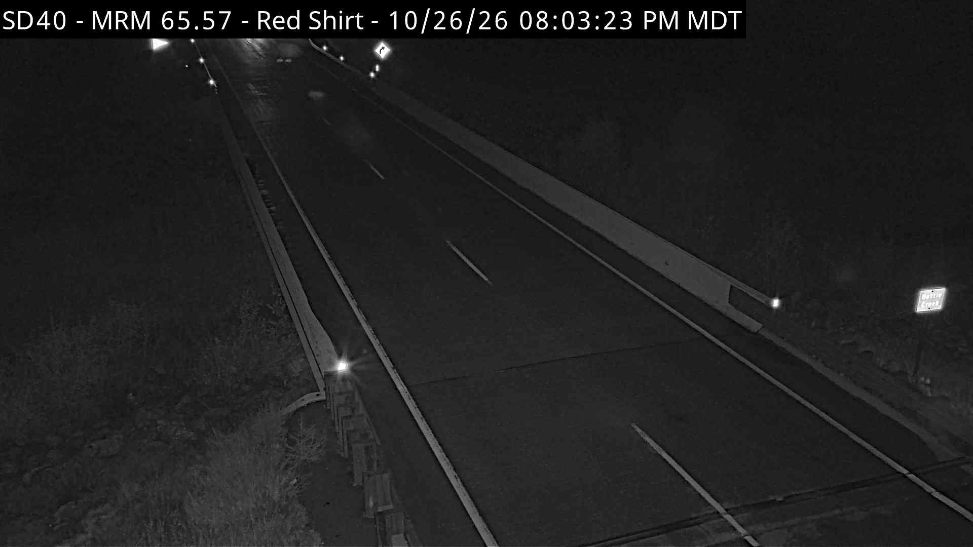
Red Shirt Table附近的网络摄像头



Red Shirt Table附近的城镇
- Hot Springs49 公里外
- 拉皮德城61 公里外
- Summerset77 公里外