Allamuchy Mountain
1222 ft373 m
Montaña · Estados Unidos
Allamuchy Mountain is a mountain in Sussex and Warren Counties, New Jersey. The major peak rises to 1,222 feet (372 m), and is located in Byram Township. The mountain also covers portions of Allamuchy Township in Warren County and Green Township in Sussex County.
De Wikipedia, CC BY-SA · Leer el artículo
En la cumbre · pronóstico para las 16:00
56 °FDespejado · viento de 3 mph del E
 Verla en 3D
Clima en la cumbre de Allamuchy Mountain, 1222 ft
- 16:0056 °FE 3 mph–
- 19:0049 °FSE 4 mph–
- 22:0044 °FE 4 mph–
- 1:0042 °FE 4 mph–
- 4:0040 °FNE 5 mph–
- 7:0039 °FE 5 mph–
- 10:0049 °FE 3 mph–
- 13:0058 °FS 4 mph–
| Día | Cielo | Máx. / mín. | Lluvia | Viento hasta |
|---|---|---|---|---|
| mié, 28 oct | Mayormente despejado | 59 °F / 39 °F | – | 7 mph |
| jue, 29 oct | Parcialmente nublado | 64 °F / 42 °F | – | 11 mph |
| vie, 30 oct | Despejado | 64 °F / 50 °F | – | 11 mph |
| sáb, 31 oct | Nublado | 57 °F / 41 °F | – | 7 mph |
| dom, 1 nov | Despejado | 62 °F / 43 °F | – | 8 mph |
| lun, 2 nov | Parcialmente nublado | 63 °F / 47 °F | – | 10 mph |
| mar, 3 nov | Nublado | 65 °F / 52 °F | 0,01 pulg. | 9 mph |
Pronóstico de MET Norway (CC BY 4.0), actualizado a las 13:17 GMT-4. Horas locales.
Ficha técnica
- Tipo
- Montaña
- Altitud sobre el nivel del mar
- 1222 ft (373 m)
- País
- Estados Unidos
- Coordenadas
- 40.936°N 74.773°W
- Fuente
- Wikidata, CC0
Allamuchy Mountain
Mountain in New Jersey, USA
Allamuchy Mountain is a mountain in Sussex and Warren Counties, New Jersey. The major peak rises to 1,222 feet (372 m), and is located in Byram Township. The mountain also covers portions of Allamuchy Township in Warren County and Green Township in Sussex County. It overlooks the Musconetcong River to the southeast, and forms part of the divide between that river and the Pequest to the northwest.
De Wikipedia, CC BY-SA · Leer el artículo
Picos cerca de Allamuchy Mountain
- Cage Hill846 ft · a 3,4 kmEn el mapa
- Lookout Mountain1165 ft · a 9,7 kmEn el mapa
- Danville Mountain1122 ft · a 16 kmEn el mapa
- Smiths Hill863 ft · a 16 kmEn el mapa
- Baldpate Mountain1165 ft · a 17 kmEn el mapa
- Mount Mohepinoke1115 ft · a 19 kmEn el mapa
- Jenny Jump Mountain1129 ft · a 20 kmEn el mapa
- High Rock Mountain889 ft · a 20 kmEn el mapa
- Catfish Mountain1560 ft · a 21 kmEn el mapa
- County House Mountain1142 ft · a 21 kmEn el mapa
Montañas más altas de Estados Unidos
- Denali20.308 ftEn el mapa
- Monte San Elías18.009 ftEn el mapa
- Monte Foraker17.402 ftEn el mapa
- Monte Bona16.535 ftEn el mapa
- Monte Blackburn16.390 ftEn el mapa
- Monte Sanford16.237 ftEn el mapa
- Monte Vancouver15.787 ftEn el mapa
- Monte Churchill15.636 ftEn el mapa
- Monte Fairweather15.325 ftEn el mapa
- Mount Hubbard14.951 ftEn el mapa
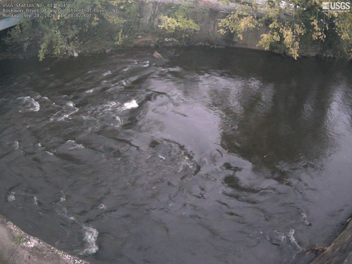
Cámaras web cerca de Allamuchy Mountain



Historia alrededor de Allamuchy Mountain
Ciudades cerca de Allamuchy Mountain
- Stanhopea 6,3 km
- Hopatcong Hillsa 8,6 km
- Hopatconga 9,5 km
- Hackettstowna 10 km
- Mount Arlingtona 11 km
- Newtona 13 km