アラムチー山
1,222 ft373 m
山 · アメリカ合衆国
Allamuchy Mountain is a mountain in Sussex and Warren Counties, New Jersey. The major peak rises to 1,222 feet (372 m), and is located in Byram Township. The mountain also covers portions of Allamuchy Township in Warren County and Green Township in Sussex County.
出典: Wikipedia、CC BY-SA · 記事を読む
山頂 · 22:00 の予報
45 °F晴れ時々曇り · 東の風 5 mph
 3D で見る
アラムチー山 山頂の天気(1,222 ft)
- 22:0045 °F東 5 mph–
- 1:0042 °F東 5 mph–
- 4:0040 °F北東 5 mph–
- 7:0039 °F北東 5 mph–
- 10:0049 °F東 3 mph–
- 13:0058 °F南 5 mph–
- 16:0059 °F南 6 mph–
- 19:0049 °F南東 6 mph–
| 日付 | 天気 | 最高 / 最低 | 雨 | 最大風速 |
|---|---|---|---|---|
| 10月28日(水) | 曇り | 59 °F / 39 °F | – | 7 mph |
| 10月29日(木) | 晴れ時々曇り | 63 °F / 43 °F | – | 11 mph |
| 10月30日(金) | 快晴 | 65 °F / 49 °F | – | 10 mph |
| 10月31日(土) | 晴れ | 55 °F / 42 °F | – | 9 mph |
| 11月1日(日) | 快晴 | 63 °F / 44 °F | – | 9 mph |
| 11月2日(月) | 晴れ時々曇り | 67 °F / 44 °F | – | 7 mph |
| 11月3日(火) | 曇り | 66 °F / 50 °F | 0.15 インチ | 12 mph |
MET Norway(CC BY 4.0)による予報。19:18 GMT-4 更新。時刻は現地時間です。
基本データ
- 種類
- 山
- 標高
- 1,222 ft (373 m)
- 座標
- 40.936°N 74.773°W
Allamuchy Mountain
Mountain in New Jersey, USA
Allamuchy Mountain is a mountain in Sussex and Warren Counties, New Jersey. The major peak rises to 1,222 feet (372 m), and is located in Byram Township. The mountain also covers portions of Allamuchy Township in Warren County and Green Township in Sussex County. It overlooks the Musconetcong River to the southeast, and forms part of the divide between that river and the Pequest to the northwest.
出典: Wikipedia、CC BY-SA · 記事を読む
アラムチー山周辺の山
- Cage Hill846 ft · 3.4 km先地図上
- Lookout Mountain1,165 ft · 9.7 km先地図上
- Danville Mountain1,122 ft · 16 km先地図上
- Smiths Hill863 ft · 16 km先地図上
- Baldpate Mountain1,165 ft · 17 km先地図上
- Mount Mohepinoke1,115 ft · 19 km先地図上
- Jenny Jump Mountain1,129 ft · 20 km先地図上
- High Rock Mountain889 ft · 20 km先地図上
- Catfish Mountain1,560 ft · 21 km先地図上
- County House Mountain1,142 ft · 21 km先地図上
アメリカ合衆国の高い山
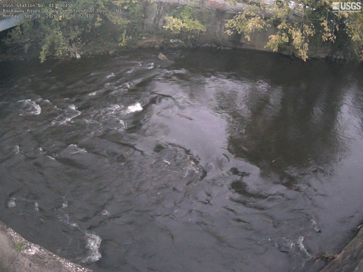
アラムチー山周辺のライブカメラ



アラムチー山周辺の歴史
アラムチー山周辺の町
- Stanhope6.3 km先
- ホパットコング・ヒルズ8.6 km先
- Hopatcong9.5 km先
- Hackettstown10 km先
- Mount Arlington11 km先
- Newton13 km先