Batchelor Hill
Colina · Canadá
Batchelor Hill 733 m (2405 ft) prominence: 128 m, is a hill overlooking the city of Kamloops, British Columbia, Canada, immediately northwest of the city and north of the neighbourhood of Brocklehurst.
De Wikipedia, CC BY-SA · Leer el artículo
En la cumbre · pronóstico para las 22:00
4 °CNublado · viento de 3 km/h del O
 Verla en 3D
Pronóstico del tiempo en Batchelor Hill
- 22:004 °CO 3 km/h–
- 1:003 °CSO 4 km/h–
- 4:002 °CS 7 km/h–
- 7:002 °CE 6 km/h–
- 10:005 °CNE 7 km/h–
- 13:007 °CN 7 km/h0,1 mm
- 16:007 °CN 5 km/h0,2 mm
- 19:005 °CN 4 km/h0,6 mm
| Día | Cielo | Máx. / mín. | Lluvia | Viento hasta |
|---|---|---|---|---|
| mar, 27 oct | Parcialmente nublado | 8 °C / 2 °C | 1,4 mm | 9 km/h |
| mié, 28 oct | Parcialmente nublado | 6 °C / 2 °C | 4,2 mm | 10 km/h |
| jue, 29 oct | Parcialmente nublado | 3 °C / -1 °C | – | 7 km/h |
| vie, 30 oct | Aguanieve | 2 °C / -1 °C | 1,2 mm | 3 km/h |
| sáb, 31 oct | Parcialmente nublado | 3 °C / -1 °C | 0,1 mm | 2 km/h |
| dom, 1 nov | Parcialmente nublado | 3 °C / -2 °C | – | 4 km/h |
| lun, 2 nov | Mayormente despejado | 6 °C / -1 °C | – | 4 km/h |
Pronóstico de MET Norway (CC BY 4.0), actualizado a las 18:17 GMT-7. Horas locales.
Ficha técnica
- Tipo
- Colina
- País
- Canadá
- Coordenadas
- 50.733°N 120.417°W
- Fuente
- Wikidata, CC0
Batchelor Hill
Hill in British Columbia, Canada
Batchelor Hill 733 m (2405 ft) prominence: 128 m, is a hill overlooking the city of Kamloops, British Columbia, Canada, immediately northwest of the city and north of the neighbourhood of Brocklehurst. It is the namesake of the Batchelor Hills a.k.a. Batchelor Heights neighbourhood and also of the small Batchelor Range, which runs north from it on the side of the Kamloops Plateau but does not include it.
De Wikipedia, CC BY-SA · Leer el artículo
Picos cerca de Batchelor Hill
- Mount Lolo1748 m · a 22 kmEn el mapa
- Mount Tod2155 m · a 39 kmEn el mapa
- Skoatl Point1640 m · a 47 kmEn el mapa
- Stockton Hill1574 m · a 50 kmEn el mapa
- Ida Ridge1981 m · a 51 kmEn el mapa
Montañas más altas de Canadá
- Monte Logan5959 mEn el mapa
- Monte San Elías18.009 ftEn el mapa
- Monte Lucania5240 mEn el mapa
- King Peak5173 mEn el mapa
- Monte Steele5073 mEn el mapa
- Mount Wood4850 mEn el mapa
- Monte Vancouver15.787 ftEn el mapa
- Mount Slaggard4742 mEn el mapa
- Mount Macaulay4700 mEn el mapa
- Monte Fairweather15.325 ftEn el mapa
Cámaras web cerca de Batchelor Hill
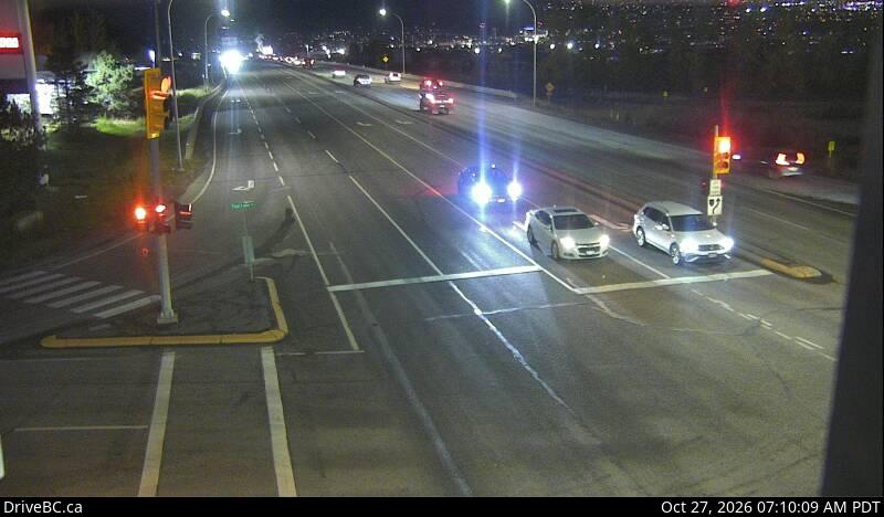
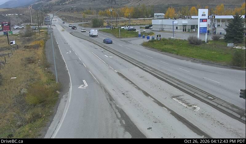
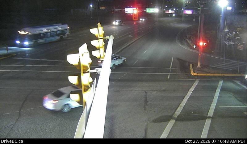
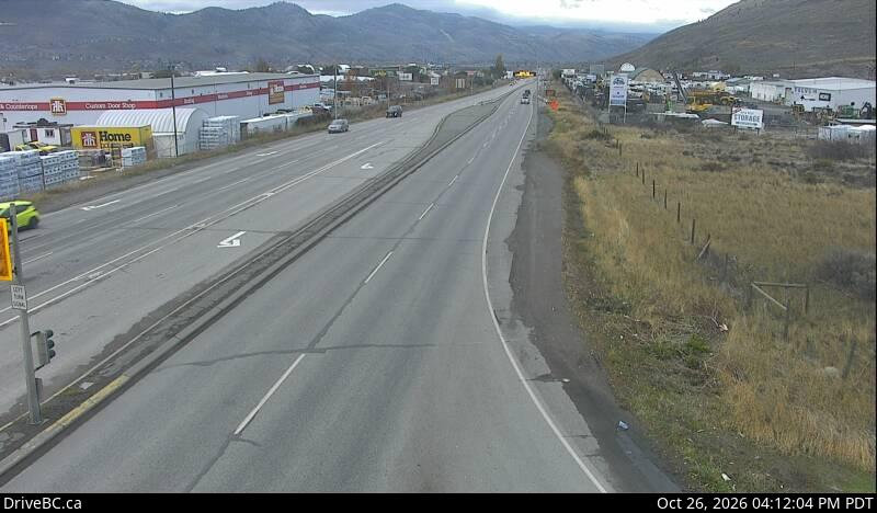

Ciudades cerca de Batchelor Hill
- Kamloopsa 10 km