Batchelor Hill
Colline · Canada
Batchelor Hill 733 m (2405 ft) prominence: 128 m, is a hill overlooking the city of Kamloops, British Columbia, Canada, immediately northwest of the city and north of the neighbourhood of Brocklehurst.
Source : Wikipedia, CC BY-SA · Lire l’article
Au sommet · prévision pour 13:00
7 °CPartiellement nuageux · vent 8 km/h du N
 Voir en 3D
Prévisions météo à Batchelor Hill
- 13:007 °CN 8 km/h–
- 16:008 °CNE 6 km/h0,7 mm
- 19:004 °CN 5 km/h–
- 22:003 °CNE 7 km/h–
- 1:003 °CNO 6 km/h1,1 mm
- 4:003 °CO 3 km/h1,4 mm
- 7:002 °CO 5 km/h2 mm
- 10:002 °CO 8 km/h0,2 mm
| Jour | Ciel | Max. / min. | Pluie | Vent jusqu’à |
|---|---|---|---|---|
| mer. 28 oct. | Nuageux | 6 °C / 2 °C | 4,7 mm | 9 km/h |
| jeu. 29 oct. | Partiellement nuageux | 5 °C / -1 °C | – | 6 km/h |
| ven. 30 oct. | Pluie | 4 °C / -1 °C | 1,3 mm | 2 km/h |
| sam. 31 oct. | Plutôt dégagé | 4 °C / -1 °C | – | 3 km/h |
| dim. 1 nov. | Partiellement nuageux | 4 °C / -1 °C | – | 2 km/h |
| lun. 2 nov. | Partiellement nuageux | 6 °C / -0 °C | – | 4 km/h |
| mar. 3 nov. | Plutôt dégagé | 7 °C / 2 °C | – | 1 km/h |
Prévisions de MET Norway (CC BY 4.0), mises à jour à 10:17 UTC−7. Heures locales.
Fiche technique
- Type
- Colline
- Pays
- Canada
- Coordonnées
- 50.733°N 120.417°W
- Source
- Wikidata, CC0
Batchelor Hill
Hill in British Columbia, Canada
Batchelor Hill 733 m (2405 ft) prominence: 128 m, is a hill overlooking the city of Kamloops, British Columbia, Canada, immediately northwest of the city and north of the neighbourhood of Brocklehurst. It is the namesake of the Batchelor Hills a.k.a. Batchelor Heights neighbourhood and also of the small Batchelor Range, which runs north from it on the side of the Kamloops Plateau but does not include it.
Source : Wikipedia, CC BY-SA · Lire l’article
Sommets près de Batchelor Hill
- Mount Lolo1 748 m · à 22 kmSur la carte
- Mount Tod2 155 m · à 39 kmSur la carte
- Skoatl Point1 640 m · à 47 kmSur la carte
- Stockton Hill1 574 m · à 50 kmSur la carte
- Ida Ridge1 981 m · à 51 kmSur la carte
Plus hautes montagnes : Canada
- mont Logan5 959 mSur la carte
- mont Saint-Élie18 009 ftSur la carte
- mont Lucania5 240 mSur la carte
- pic King5 173 mSur la carte
- mont Steele5 073 mSur la carte
- mont Wood4 850 mSur la carte
- mont Vancouver15 787 ftSur la carte
- Mount Slaggard4 742 mSur la carte
- Mount Macaulay4 700 mSur la carte
- mont Fairweather15 325 ftSur la carte
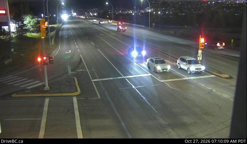
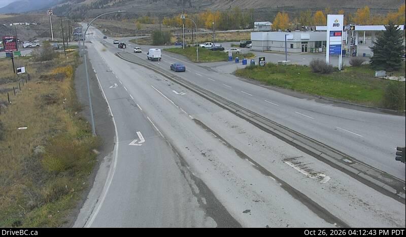
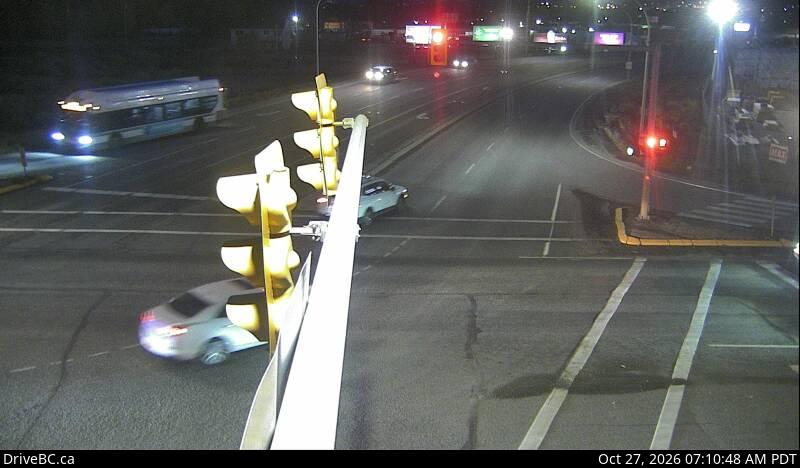
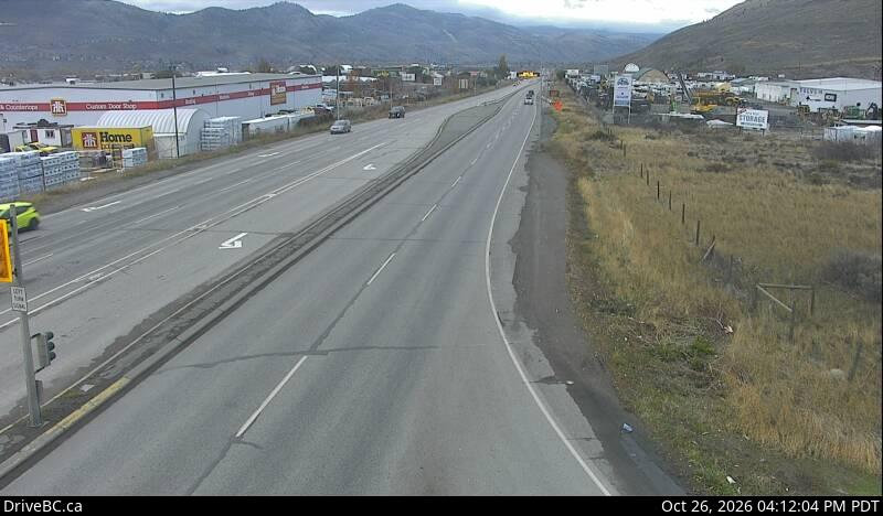
Webcams près de Batchelor Hill

Villes près de Batchelor Hill
- Kamloopsà 10 km