Big Pine Mountain
Montaña · San Rafael Mountains · Estados Unidos
Big Pine Mountain is a mountain located in the San Rafael Mountains of the California Transverse Ranges. High enough to receive snowfall during the winter, the summit, at 6,803+ feet (2,074+ m), is the highest point in the San Rafael Mountains, the Dick Smith Wilderness, and Santa Barbara County.
De Wikipedia, CC BY-SA · Leer el artículo
En la cumbre · pronóstico para las 21:00
42 °FDespejado · viento de 6 mph del NE
 Verla en 3D
Pronóstico del tiempo en Big Pine Mountain
- 21:0042 °FNE 6 mph–
- 0:0040 °FNE 5 mph–
- 3:0040 °FNE 6 mph–
- 6:0037 °FNE 5 mph–
- 9:0049 °FE 3 mph–
- 12:0059 °FSO 6 mph–
- 15:0056 °FSO 6 mph–
- 18:0048 °FNO 2 mph–
| Día | Cielo | Máx. / mín. | Lluvia | Viento hasta |
|---|---|---|---|---|
| mar, 27 oct | Mayormente despejado | 59 °F / 37 °F | – | 6 mph |
| mié, 28 oct | Parcialmente nublado | 57 °F / 37 °F | – | 6 mph |
| jue, 29 oct | Mayormente despejado | 54 °F / 41 °F | 0,01 pulg. | 6 mph |
| vie, 30 oct | Lluvia | 48 °F / 39 °F | 0,12 pulg. | 3 mph |
| sáb, 31 oct | Lluvia | 45 °F / 37 °F | 0,36 pulg. | 4 mph |
| dom, 1 nov | Despejado | 46 °F / 36 °F | – | 8 mph |
| lun, 2 nov | Despejado | 61 °F / 38 °F | – | 3 mph |
Pronóstico de MET Norway (CC BY 4.0), actualizado a las 18:17 GMT-7. Horas locales.
Ficha técnica
- Tipo
- Montaña
- Cordillera
- San Rafael Mountains
- País
- Estados Unidos
- Coordenadas
- 34.697°N 119.654°W
- Fuente
- Wikidata, CC0
Big Pine Mountain
Mountain in the San Rafael Mountains, California
Big Pine Mountain is a mountain located in the San Rafael Mountains of the California Transverse Ranges. High enough to receive snowfall during the winter, the summit, at 6,803+ feet (2,074+ m), is the highest point in the San Rafael Mountains, the Dick Smith Wilderness, and Santa Barbara County. The peak and the surrounding area were severely impacted by the Zaca Fire in 2007.
De Wikipedia, CC BY-SA · Leer el artículo
Picos cerca de Big Pine Mountain
- Madulce Peak6539 ft · a 5,8 kmEn el mapa
- Little Pine Mountain4462 ft · a 13 kmEn el mapa
- La Cumbre Peak3997 ft · a 23 kmEn el mapa
- Arlington Peak3258 ft · a 24 kmEn el mapa
- Figueroa Mountain4534 ft · a 31 kmEn el mapa
- Caliente Mountain5109 ft · a 39 kmEn el mapa
- Brush Mountain7051 ft · a 44 kmEn el mapa
- Grouse Mountain8586 ft · a 45 kmEn el mapa
- Sawmill Mountain8822 ft · a 46 kmEn el mapa
- San Emigdio Mountain7495 ft · a 48 kmEn el mapa
Los más altos de San Rafael Mountains
- Figueroa Mountain4534 ftEn el mapa
Montañas más altas de Estados Unidos
- Denali20.308 ftEn el mapa
- Monte San Elías18.009 ftEn el mapa
- Monte Foraker17.402 ftEn el mapa
- Monte Bona16.535 ftEn el mapa
- Monte Blackburn16.390 ftEn el mapa
- Monte Sanford16.237 ftEn el mapa
- Monte Vancouver15.787 ftEn el mapa
- Monte Churchill15.636 ftEn el mapa
- Monte Fairweather15.325 ftEn el mapa
- Mount Hubbard14.951 ftEn el mapa
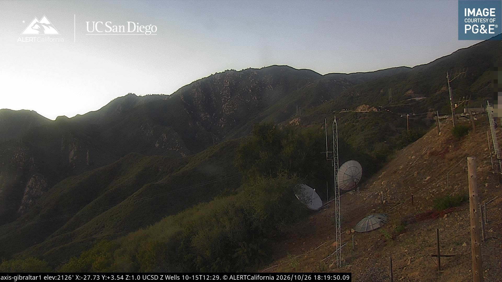
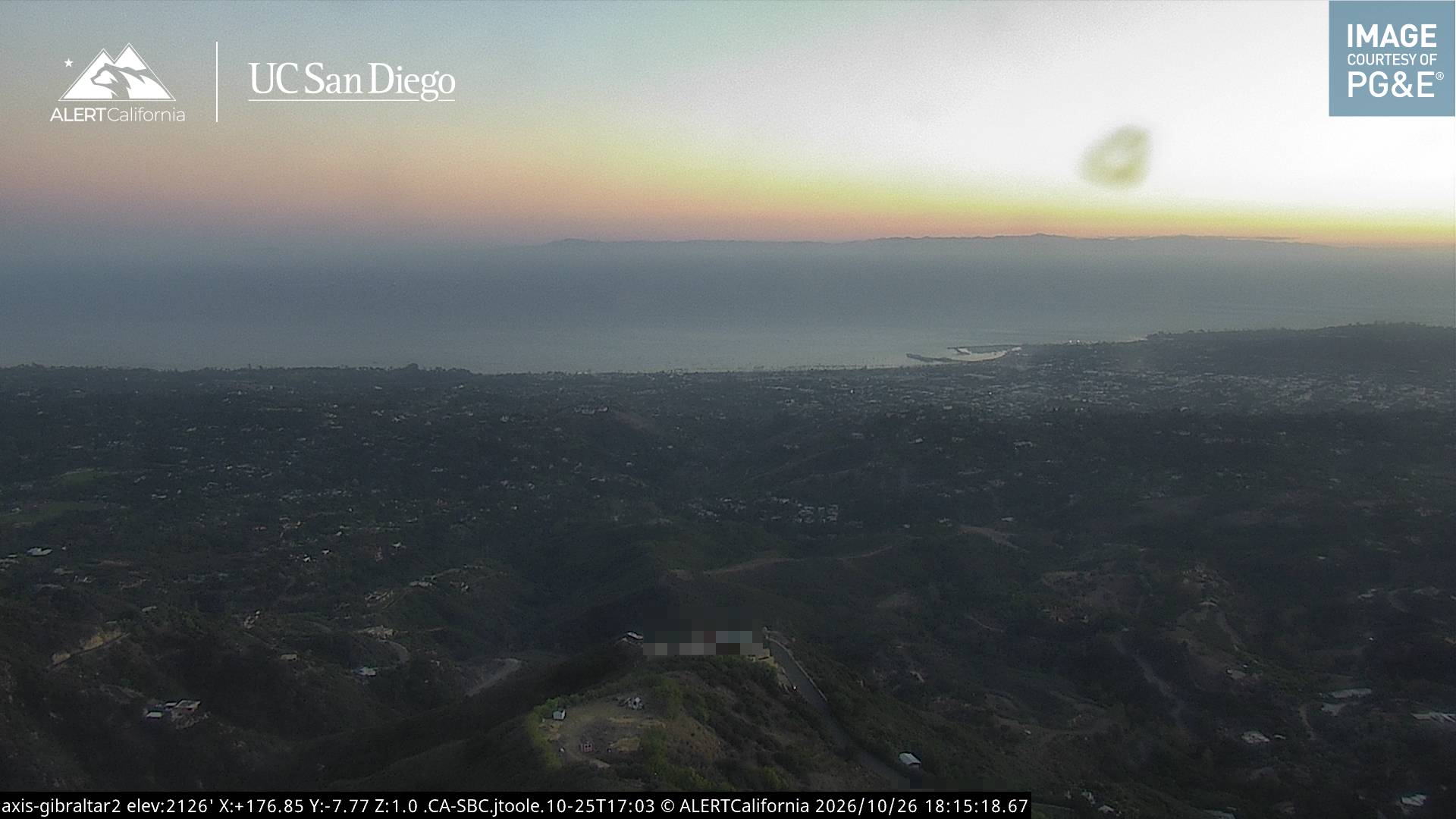
Cámaras web cerca de Big Pine Mountain

Ciudades cerca de Big Pine Mountain
- Santa Bárbaraa 31 km
- Goletaa 33 km
- Isla Vistaa 37 km
- Carpinteriaa 37 km
- Maricopaa 45 km
- Ojaia 46 km