Montañas de Estados Unidos
Cahuenga Peak
1821 ft555 m
Montaña · Sierra de Santa Mónica · Estados Unidos
Cahuenga Peak is the 12th-highest named peak in the Santa Monica Mountains and is located just west of the Hollywood Sign. Cahuenga Peak is the highest peak in Griffith Park. It provides a spectacular 360-degree panorama of the Los Angeles Basin and the San Fernando Valley.
De Wikipedia, CC BY-SA · Leer el artículo
En la cumbre · pronóstico para las 14:00
70 °FDespejado · viento de 5 mph del S
 Verla en 3D
Clima en la cumbre de Cahuenga Peak, 1821 ft
- 14:0070 °FS 5 mph–
- 17:0067 °FSO 5 mph–
- 20:0060 °FN 1 mph–
- 23:0056 °FN 1 mph–
- 2:0054 °FNE 4 mph–
- 5:0053 °FNE 4 mph–
- 8:0054 °FN 4 mph–
- 11:0064 °FSE 4 mph–
| Día | Cielo | Máx. / mín. | Lluvia | Viento hasta |
|---|---|---|---|---|
| mié, 28 oct | Mayormente despejado | 70 °F / 52 °F | – | 7 mph |
| jue, 29 oct | Nublado | 68 °F / 52 °F | 0,01 pulg. | 7 mph |
| vie, 30 oct | Lluvia débil | 63 °F / 56 °F | 0,15 pulg. | 6 mph |
| sáb, 31 oct | Lluvia | 61 °F / 54 °F | 0,09 pulg. | 2 mph |
| dom, 1 nov | Despejado | 67 °F / 51 °F | – | 5 mph |
| lun, 2 nov | Despejado | 71 °F / 46 °F | – | 4 mph |
| mar, 3 nov | Despejado | 72 °F / 47 °F | – | 4 mph |
Pronóstico de MET Norway (CC BY 4.0), actualizado a las 12:17 GMT-7. Horas locales.
Ficha técnica
- Tipo
- Montaña
- Altitud sobre el nivel del mar
- 1821 ft (555 m)
- Prominencia
- 1030 ft (314 m)
- Cordillera
- Sierra de Santa Mónica
- País
- Estados Unidos
- Coordenadas
- 34.137°N 118.326°W
- Fuente
- Wikidata, CC0
Picos cerca de Cahuenga Peak
- Monte Lee1708 ft · a 0,5 kmEn el mapa
- Mount Lukens5075 ft · a 17 kmEn el mapa
- Eagle Rock1955 ft · a 23 kmEn el mapa
- Mount Lowe5606 ft · a 23 kmEn el mapa
- Pico de San Gabriel6164 ft · a 24 kmEn el mapa
- Pico Strawberry6167 ft · a 25 kmEn el mapa
- monte Wilson1741 ft · a 26 kmEn el mapa
- Mission Point2771 ft · a 27 kmEn el mapa
- Saddle Peak2805 ft · a 31 kmEn el mapa
- Chatsworth Peak2313 ft · a 32 kmEn el mapa
Los más altos de Sierra de Santa Mónica
- Sandstone Peak3114 ftEn el mapa
- Castro Peak2826 ftEn el mapa
- Saddle Peak2805 ftEn el mapa
- Eagle Rock1955 ftEn el mapa
- Cahuenga Peak1821 ftEn el mapa
- Mount Hollywood1614 ftEn el mapa
Montañas más altas de Estados Unidos
- Denali20.308 ftEn el mapa
- Monte San Elías18.009 ftEn el mapa
- Monte Foraker17.402 ftEn el mapa
- Monte Bona16.535 ftEn el mapa
- Monte Blackburn16.390 ftEn el mapa
- Monte Sanford16.237 ftEn el mapa
- Monte Vancouver15.787 ftEn el mapa
- Monte Churchill15.636 ftEn el mapa
- Monte Fairweather15.325 ftEn el mapa
- Mount Hubbard14.951 ftEn el mapa
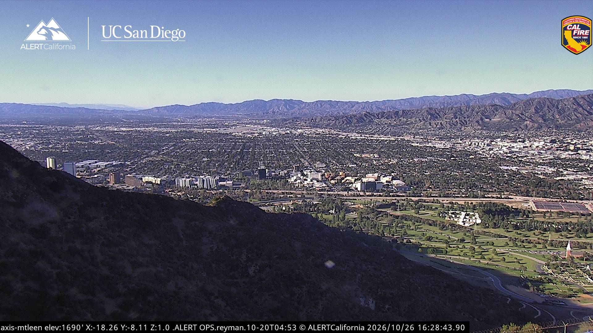
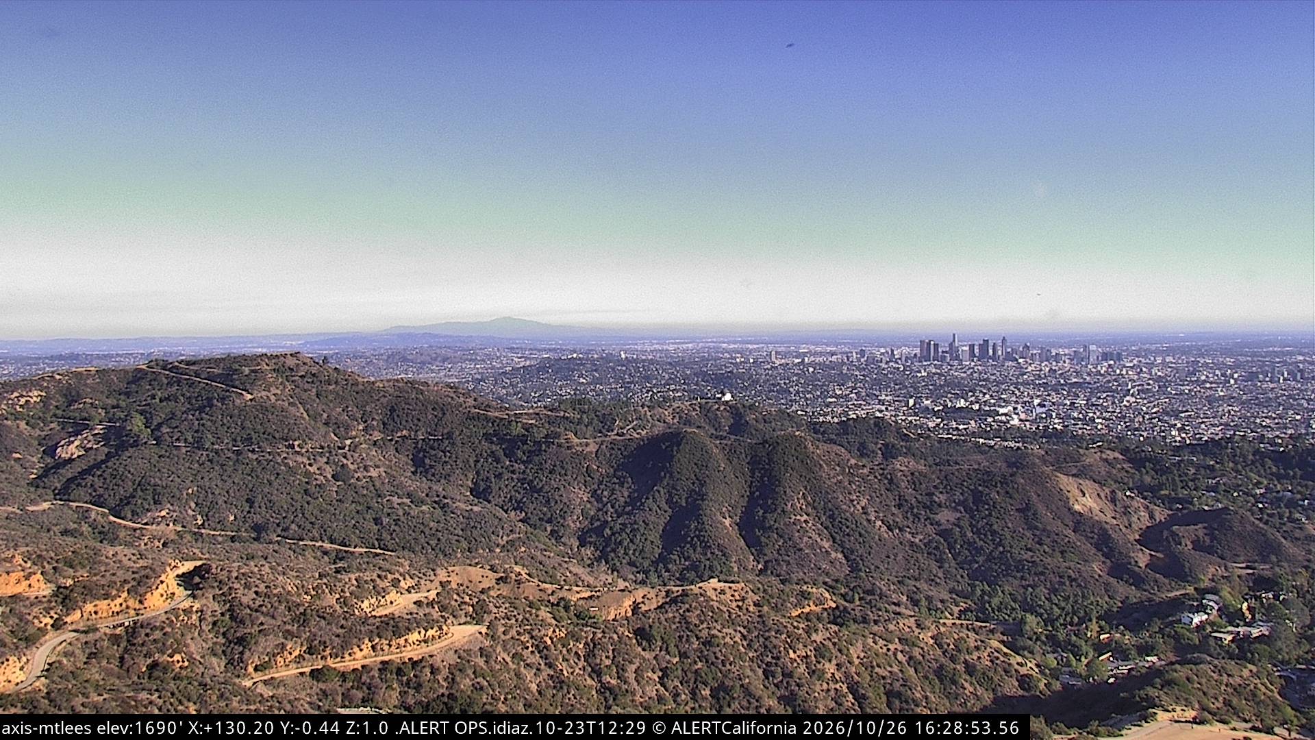
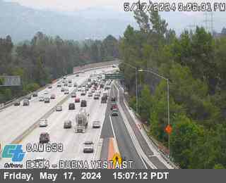
Cámaras web cerca de Cahuenga Peak

Historia alrededor de Cahuenga Peak
- 1992 Los Angeles riots1992
- North Hollywood shootout1997
- June 2025 Los Angeles protests2025
- assassination of Robert F. Kennedy1968
- Mexico wins their eighth Gold Cup, defeating the United States 1–0 in the final match in Chicago2019
- Treaty of Cahuenga1847
- January 1073rd Golden Globe Awards: The Revenant wins the Golden Globe Award for Best Motion Picture – Drama2016
- Tate murders1969
Ciudades cerca de Cahuenga Peak
- Burbanka 5,1 km
- Glendalea 6,6 km
- West Hollywooda 6,9 km
- Beverly Hillsa 9,5 km
- Los Ángelesa 12 km
- La Crescenta-Montrosea 13 km