Eagle Rock
1955 ft596 m
Montaña · Sierra de Santa Mónica · Estados Unidos
Eagle Rock is a prominent sandstone pinnacle in Topanga State Park in the Santa Monica Mountains, California. The original name is "Elephant Rock" as the huge sandstone outcropping looks like an Elephant head when viewed from the north side.
De Wikipedia, CC BY-SA · Leer el artículo
En la cumbre · pronóstico para las 21:00
57 °FParcialmente nublado · viento de 1 mph del NE
 Verla en 3D
Clima en la cumbre de Eagle Rock, 1955 ft
- 21:0057 °FNE 1 mph–
- 0:0054 °FN 4 mph–
- 3:0053 °FNE 6 mph–
- 6:0051 °FN 7 mph–
- 9:0059 °FN 7 mph–
- 12:0067 °FS 6 mph–
- 15:0066 °FS 7 mph–
- 18:0060 °FSO 7 mph–
| Día | Cielo | Máx. / mín. | Lluvia | Viento hasta |
|---|---|---|---|---|
| mié, 28 oct | Mayormente despejado | 67 °F / 51 °F | – | 7 mph |
| jue, 29 oct | Nublado | 65 °F / 53 °F | – | 8 mph |
| vie, 30 oct | Lluvia débil | 62 °F / 55 °F | 0,15 pulg. | 7 mph |
| sáb, 31 oct | Lluvia | 58 °F / 53 °F | 0,2 pulg. | 3 mph |
| dom, 1 nov | Despejado | 66 °F / 51 °F | – | 5 mph |
| lun, 2 nov | Despejado | 73 °F / 54 °F | – | 8 mph |
| mar, 3 nov | Despejado | 73 °F / 54 °F | – | 6 mph |
Pronóstico de MET Norway (CC BY 4.0), actualizado a las 12:17 GMT-7. Horas locales.
Ficha técnica
- Tipo
- Montaña
- Altitud sobre el nivel del mar
- 1955 ft (596 m)
- Cordillera
- Sierra de Santa Mónica
- País
- Estados Unidos
- Coordenadas
- 34.108°N 118.571°W
- Fuente
- Wikidata, CC0
Eagle Rock (Santa Monica Mountains)
Sandstone pinnacle in Topanga State Park, California, USA
Eagle Rock is a prominent sandstone pinnacle in Topanga State Park in the Santa Monica Mountains, California. The original name is "Elephant Rock" as the huge sandstone outcropping looks like an Elephant head when viewed from the north side. When the Park was created the name of the spring to the east, Eagle Spring, was applied to the peak.
De Wikipedia, CC BY-SA · Leer el artículo
Picos cerca de Eagle Rock
- Saddle Peak2805 ft · a 8,8 kmEn el mapa
- Chatsworth Peak2313 ft · a 18 kmEn el mapa
- Castro Peak2826 ft · a 20 kmEn el mapa
- Pico Rocky2715 ft · a 21 kmEn el mapa
- Simi Peak2405 ft · a 22 kmEn el mapa
- Cahuenga Peak1821 ft · a 23 kmEn el mapa
- Mission Point2771 ft · a 23 kmEn el mapa
- Monte Lee1708 ft · a 23 kmEn el mapa
- Point Dume203 ft · a 25 kmEn el mapa
- Sand Rock Peak2511 ft · a 29 kmEn el mapa
Los más altos de Sierra de Santa Mónica
- Sandstone Peak3114 ftEn el mapa
- Castro Peak2826 ftEn el mapa
- Saddle Peak2805 ftEn el mapa
- Eagle Rock1955 ftEn el mapa
- Cahuenga Peak1821 ftEn el mapa
- Mount Hollywood1614 ftEn el mapa
Montañas más altas de Estados Unidos
- Denali20.308 ftEn el mapa
- Monte San Elías18.009 ftEn el mapa
- Monte Foraker17.402 ftEn el mapa
- Monte Bona16.535 ftEn el mapa
- Monte Blackburn16.390 ftEn el mapa
- Monte Sanford16.237 ftEn el mapa
- Monte Vancouver15.787 ftEn el mapa
- Monte Churchill15.636 ftEn el mapa
- Monte Fairweather15.325 ftEn el mapa
- Mount Hubbard14.951 ftEn el mapa
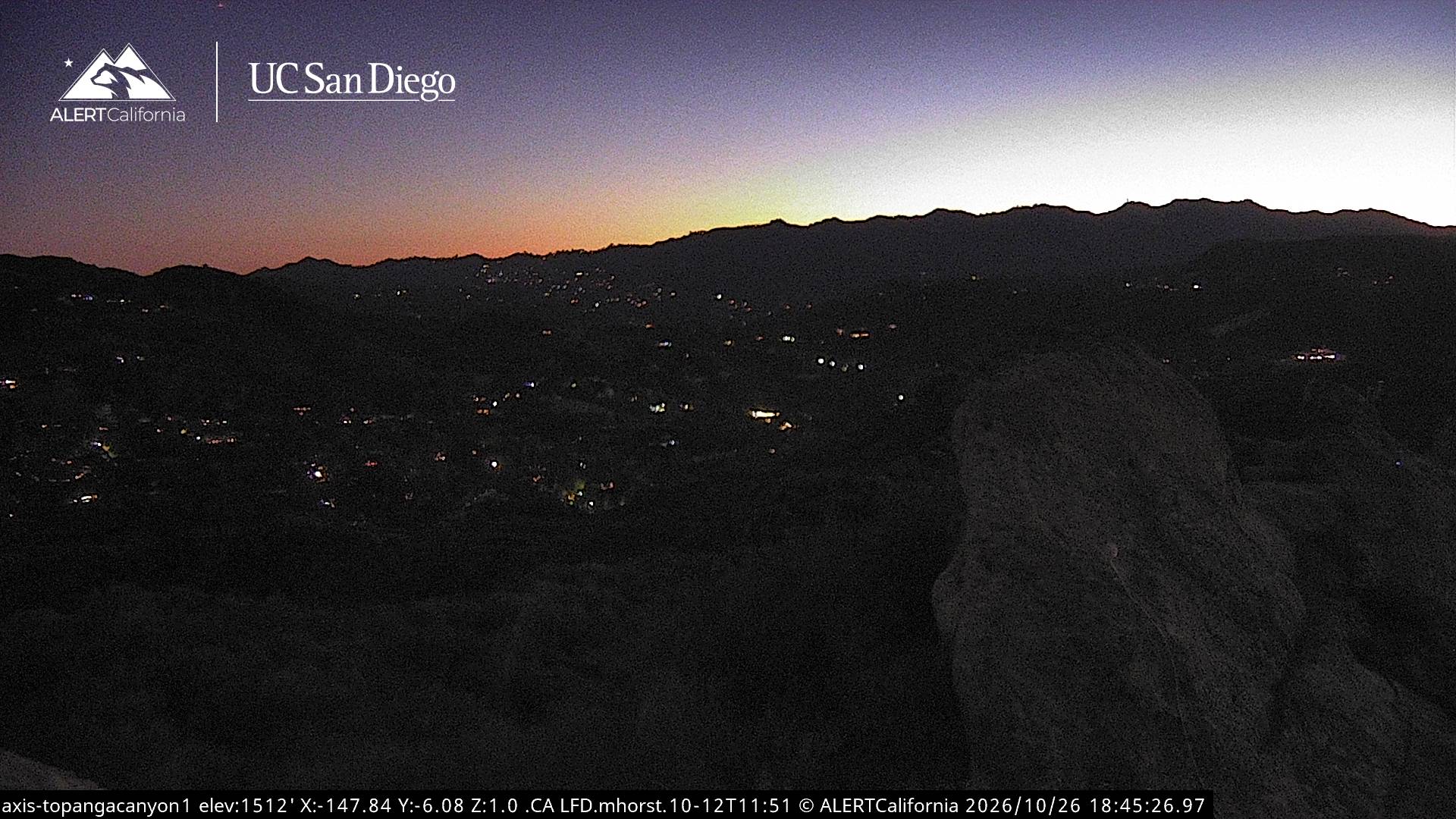
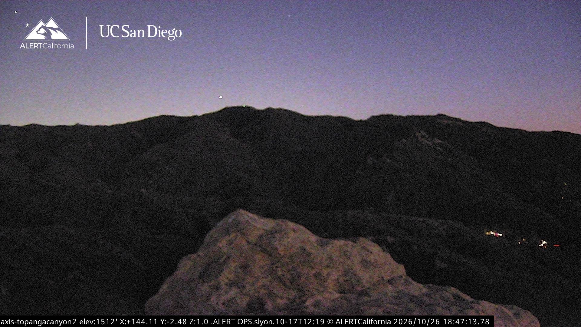
Cámaras web cerca de Eagle Rock
Historia alrededor de Eagle Rock
- North Hollywood shootout1997
- Earthquake — California: Northridge1994
- 2020 Calabasas helicopter crash2020
- January 1073rd Golden Globe Awards: The Revenant wins the Golden Globe Award for Best Motion Picture – Drama2016
- Tate murders1969
- killing of Rob Reiner and Michele Singer Reiner2025
- Oppenheimer, directed by Christopher Nolan, wins five awards at the 81st Golden Globe Awards, while Poor Things wins the awards for Best Motion Picture2024
- 2024 University of California, Los Angeles pro-Palestinian campus occupation2024
Ciudades cerca de Eagle Rock
- Calabasasa 9,3 km
- Hidden Hillsa 10 km
- Santa Mónicaa 12 km
- Beverly Hillsa 16 km
- Agouraa 16 km
- West Hollywooda 18 km