Cerro Noroeste
Montaña · Sierra de San Emigdio · Estados Unidos
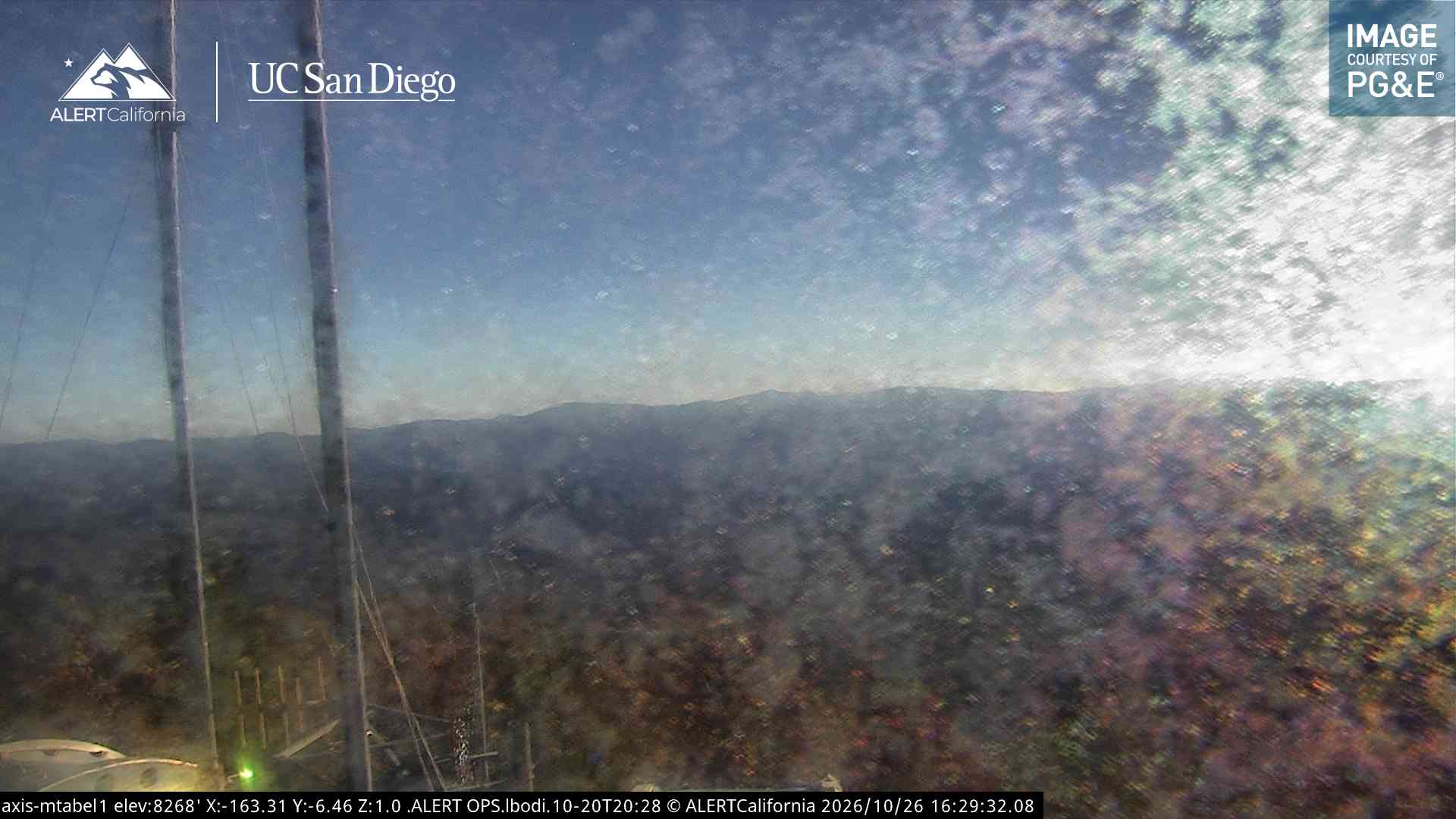
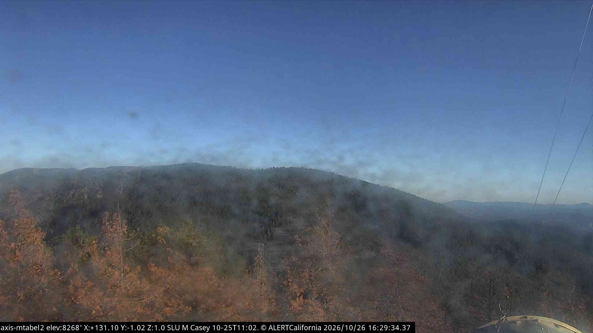
Cerro Noroeste is a mountain located in Southern California's Kern County, a mile north of the Ventura County border. It is located a few miles southwest of the community of Pine Mountain Club, at an elevation of 8283 feet. The mountain is located in the Los Padres National Forest.
De Wikipedia, CC BY-SA · Leer el artículo
En la cumbre · pronóstico para las 6:00
37 °FDespejado · viento de 2 mph del E
Pronóstico del tiempo en Cerro Noroeste
- 6:0037 °FE 2 mph–
- 9:0048 °FO 3 mph–
- 12:0055 °FO 5 mph–
- 15:0054 °FO 6 mph–
- 18:0045 °FSO 3 mph–
- 21:0038 °FSE 3 mph–
- 0:0036 °FSE 3 mph–
- 3:0036 °FE 4 mph–
| Día | Cielo | Máx. / mín. | Lluvia | Viento hasta |
|---|---|---|---|---|
| Hoy | Despejado | 56 °F / 37 °F | – | 6 mph |
| jue, 29 oct | Parcialmente nublado | 54 °F / 35 °F | – | 7 mph |
| vie, 30 oct | Mayormente despejado | 49 °F / 31 °F | 0 pulg. | 8 mph |
| sáb, 31 oct | Lluvia | 45 °F / 33 °F | 0,07 pulg. | 4 mph |
| dom, 1 nov | Parcialmente nublado | 39 °F / 30 °F | 0,02 pulg. | 6 mph |
| lun, 2 nov | Despejado | 56 °F / 31 °F | – | 4 mph |
| mar, 3 nov | Despejado | 62 °F / 43 °F | – | 3 mph |
Pronóstico de MET Norway (CC BY 4.0), actualizado a las 00:17 GMT-7. Horas locales.
Ficha técnica
- Tipo
- Montaña
- Cordillera
- Sierra de San Emigdio
- País
- Estados Unidos
- Coordenadas
- 34.831°N 119.203°W
- Fuente
- Wikidata, CC0
Cerro Noroeste
Mountain peak in the San Emigdio Mountains of Southern California, USA
Cerro Noroeste is a mountain located in Southern California's Kern County, a mile north of the Ventura County border. It is located a few miles southwest of the community of Pine Mountain Club, at an elevation of 8283 feet. The mountain is located in the Los Padres National Forest. It is surrounded by the Chumash Wilderness to the south and west, though the peak itself is not actually within the wilderness.
De Wikipedia, CC BY-SA · Leer el artículo
Picos cerca de Cerro Noroeste
- Grouse Mountain8586 ft · a 2,5 kmEn el mapa
- Sawmill Mountain8822 ft · a 3,8 kmEn el mapa
- San Emigdio Mountain7495 ft · a 5,2 kmEn el mapa
- Mount Pinos8847 ft · a 5,5 kmEn el mapa
- Brush Mountain7051 ft · a 6,3 kmEn el mapa
- Antimony Peak6851 ft · a 9,8 kmEn el mapa
- Eagle Rest Peak6008 ft · a 11 kmEn el mapa
- Montaña Frazier8017 ft · a 22 kmEn el mapa
- Hines Peak6716 ft · a 37 kmEn el mapa
- Madulce Peak6539 ft · a 39 kmEn el mapa
Los más altos de Sierra de San Emigdio
- Montaña Frazier8017 ftEn el mapa
- San Emigdio Mountain7495 ftEn el mapa
Montañas más altas de Estados Unidos
- Denali20.308 ftEn el mapa
- Monte San Elías18.009 ftEn el mapa
- Monte Foraker17.402 ftEn el mapa
- Monte Bona16.535 ftEn el mapa
- Monte Blackburn16.390 ftEn el mapa
- Monte Sanford16.237 ftEn el mapa
- Monte Vancouver15.787 ftEn el mapa
- Monte Churchill15.636 ftEn el mapa
- Monte Fairweather15.325 ftEn el mapa
- Mount Hubbard14.951 ftEn el mapa