Cerro Noroeste
山 · サン・エミグディオ山脈 · アメリカ合衆国
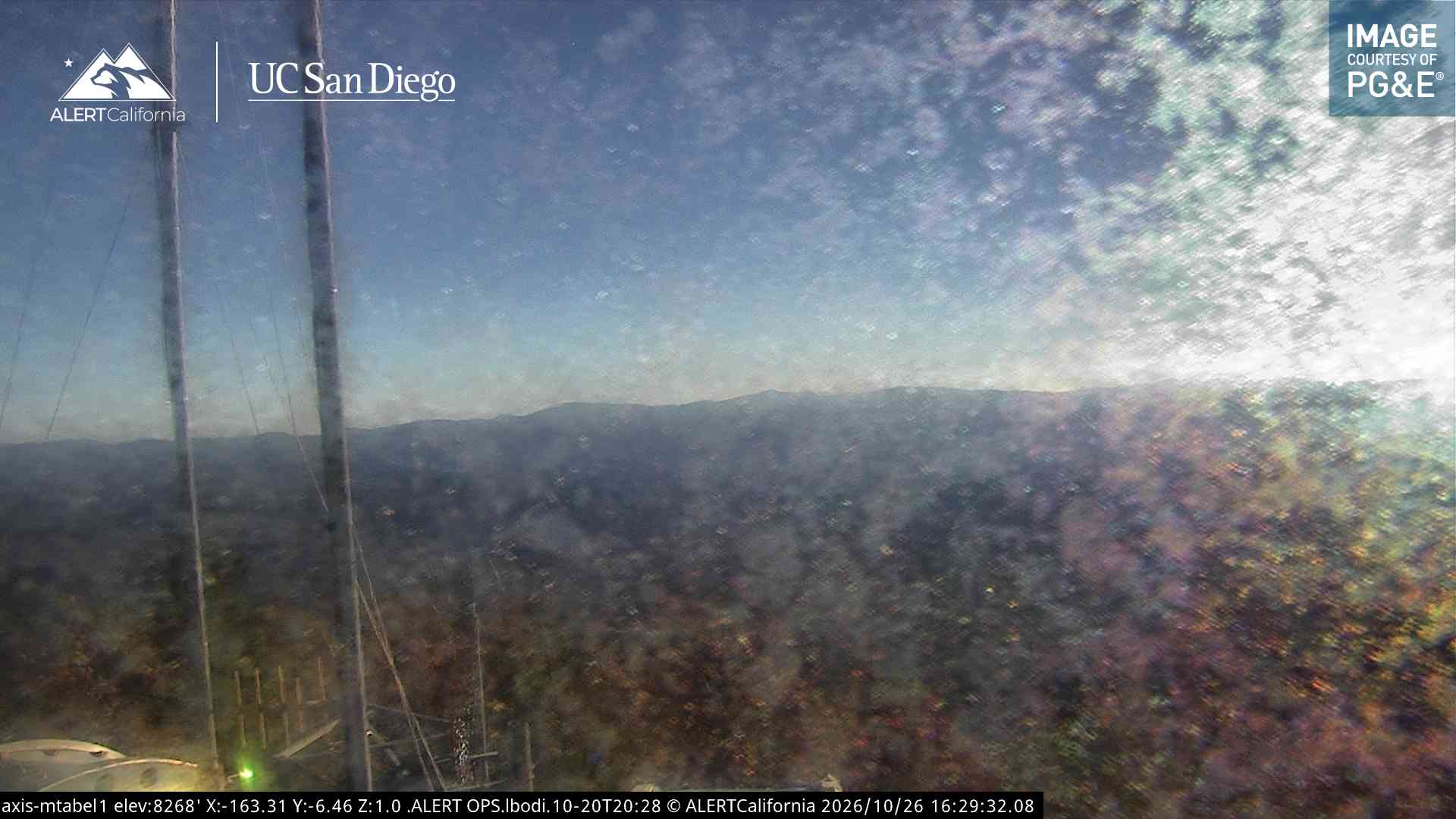
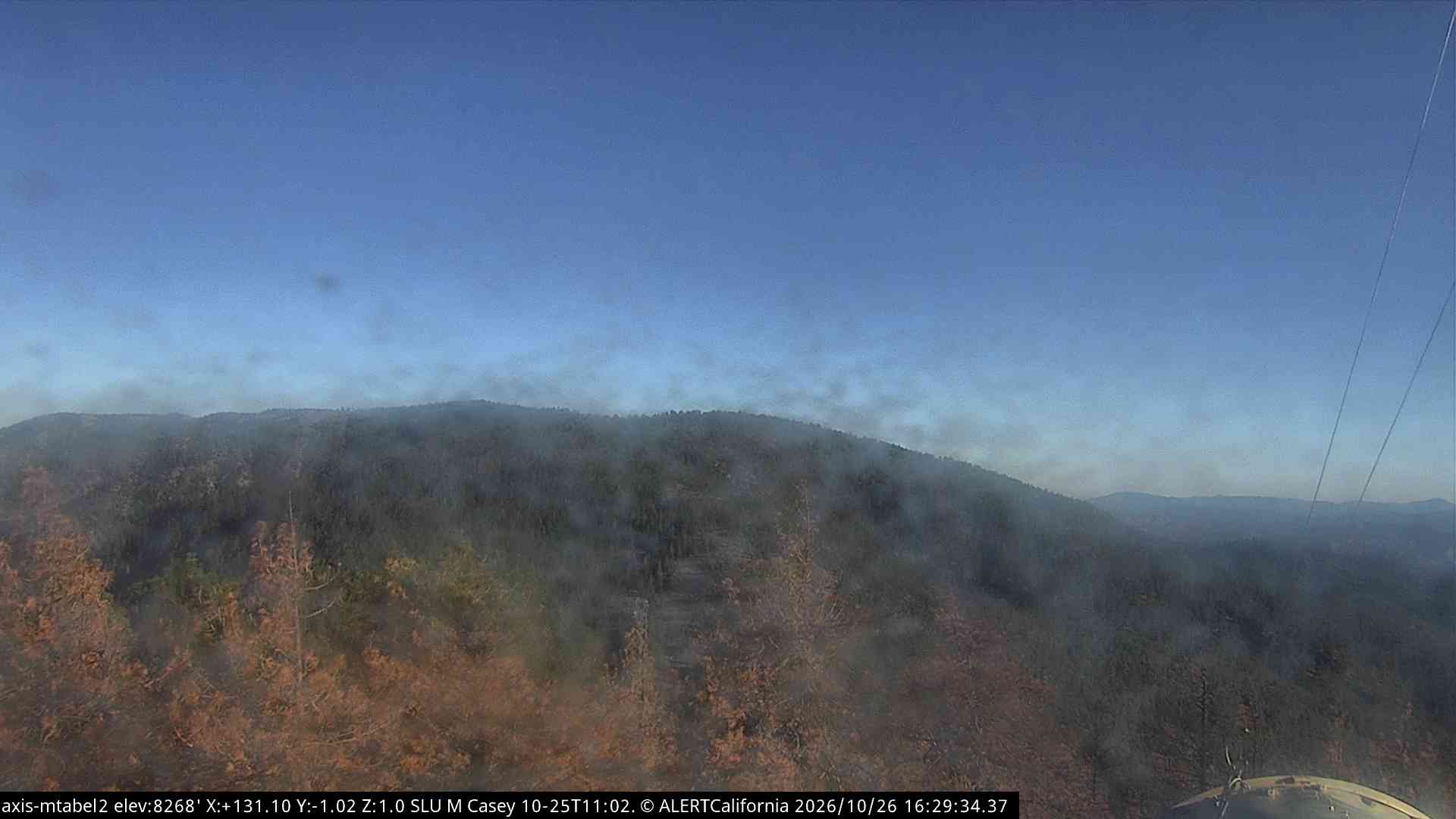
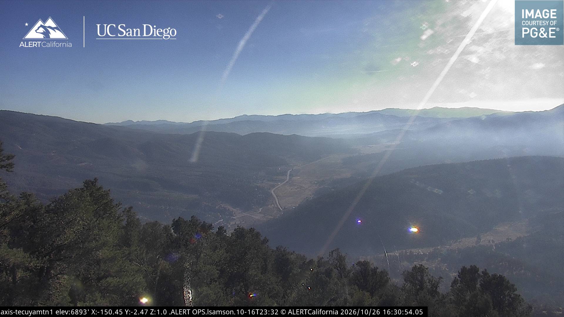
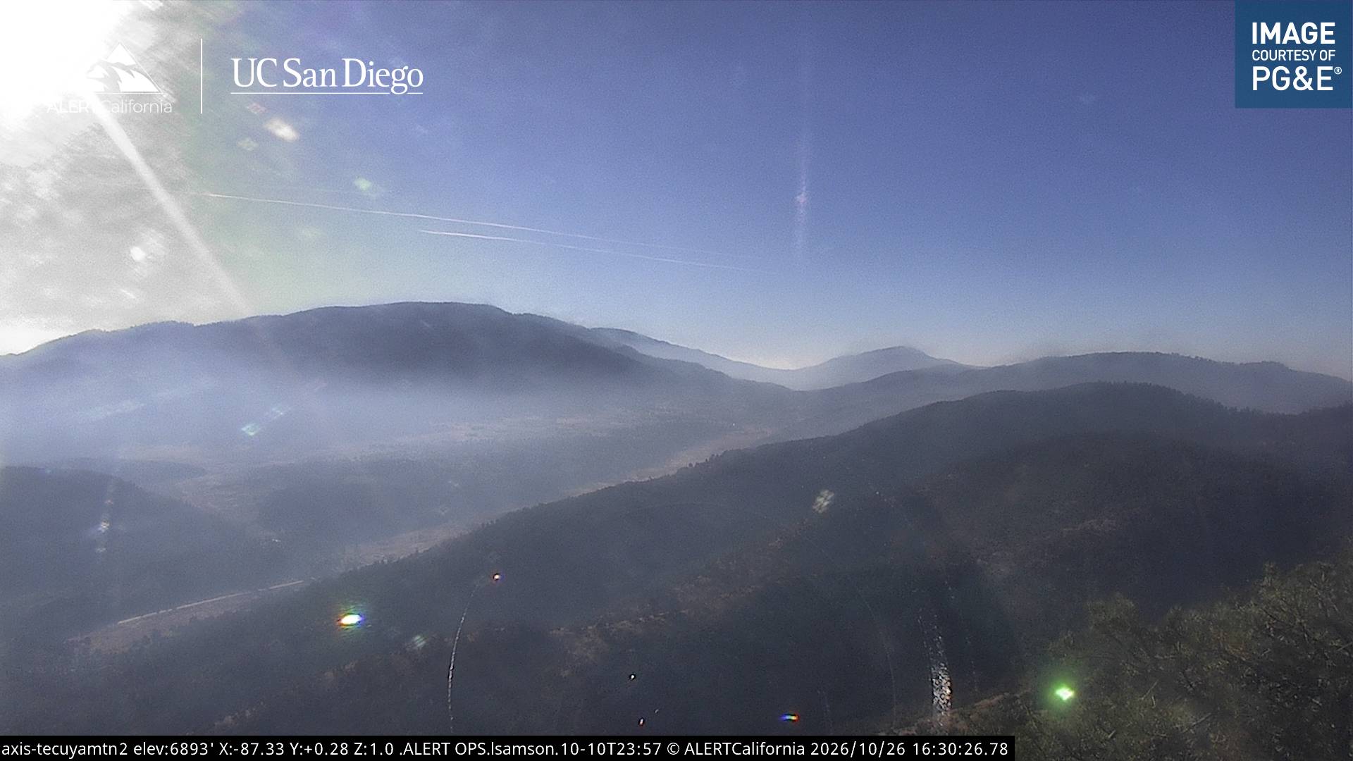
Cerro Noroeste is a mountain located in Southern California's Kern County, a mile north of the Ventura County border. It is located a few miles southwest of the community of Pine Mountain Club, at an elevation of 8283 feet. The mountain is located in the Los Padres National Forest.
出典: Wikipedia、CC BY-SA · 記事を読む
山頂 · 15:00 の予報
55 °F晴れ · 西の風 6 mph
Cerro Noroesteの天気予報
- 15:0055 °F西 6 mph–
- 18:0044 °F北西 3 mph–
- 21:0038 °F東 1 mph–
- 0:0036 °F東 2 mph–
- 3:0035 °F東 1 mph–
- 6:0038 °F東 2 mph–
- 9:0047 °F南 2 mph–
- 12:0055 °F西 6 mph–
| 日付 | 天気 | 最高 / 最低 | 雨 | 最大風速 |
|---|---|---|---|---|
| 10月28日(水) | 晴れ | 55 °F / 35 °F | – | 6 mph |
| 10月29日(木) | 曇り | 55 °F / 35 °F | – | 7 mph |
| 10月30日(金) | 晴れ | 45 °F / 32 °F | 0 インチ | 4 mph |
| 10月31日(土) | 曇り | 43 °F / 36 °F | 0.02 インチ | 5 mph |
| 11月1日(日) | 晴れ時々曇り | 40 °F / 32 °F | 0.01 インチ | 6 mph |
| 11月2日(月) | 快晴 | 61 °F / 35 °F | – | 4 mph |
| 11月3日(火) | 晴れ | 62 °F / 44 °F | – | 4 mph |
MET Norway(CC BY 4.0)による予報。12:17 GMT-7 更新。時刻は現地時間です。
基本データ
- 種類
- 山
- 山脈
- サン・エミグディオ山脈
- 座標
- 34.831°N 119.203°W
Cerro Noroeste
Mountain peak in the San Emigdio Mountains of Southern California, USA
Cerro Noroeste is a mountain located in Southern California's Kern County, a mile north of the Ventura County border. It is located a few miles southwest of the community of Pine Mountain Club, at an elevation of 8283 feet. The mountain is located in the Los Padres National Forest. It is surrounded by the Chumash Wilderness to the south and west, though the peak itself is not actually within the wilderness.
出典: Wikipedia、CC BY-SA · 記事を読む
Cerro Noroeste周辺の山
- Grouse Mountain8,586 ft · 2.5 km先地図上
- Sawmill Mountain8,822 ft · 3.8 km先地図上
- San Emigdio Mountain7,495 ft · 5.2 km先地図上
- Mount Pinos8,847 ft · 5.5 km先地図上
- Brush Mountain7,051 ft · 6.3 km先地図上
- Antimony Peak6,851 ft · 9.8 km先地図上
- Eagle Rest Peak6,008 ft · 11 km先地図上
- Frazier Mountain8,017 ft · 22 km先地図上
- Hines Peak6,716 ft · 37 km先地図上
- Madulce Peak6,539 ft · 39 km先地図上
サン・エミグディオ山脈の最高峰
- Frazier Mountain8,017 ft地図上
- San Emigdio Mountain7,495 ft地図上