Cinder Cone
1910 m6266 ft
Montaña · Cordillera Garibaldi · Canadá
Cinder Cone is a cinder cone with a small crater on the west side of the Helm Glacier in Garibaldi Provincial Park in British Columbia, Canada. Cinder Cone is surrounded by cinder flats and its crater is filled with meltwater during the summer.
De Wikipedia, CC BY-SA · Leer el artículo
En la cumbre · pronóstico para las 4:00
-3 °CNiebla · viento de 3 km/h del SE
 Verla en 3D
Clima en la cumbre de Cinder Cone, 1910 m
- 4:00-3 °CSE 3 km/h–
- 7:00-3 °CS 4 km/h0,2 mm
- 10:00-3 °CS 6 km/h1,1 mm
- 13:00-2 °CS 8 km/h2,5 mm
- 16:00-4 °CSO 6 km/h3,7 mm
- 19:00-4 °CSE 4 km/h–
- 22:00-4 °CS 4 km/h–
- 1:00-5 °CSO 2 km/h0,5 mm
| Día | Cielo | Máx. / mín. | Lluvia | Viento hasta |
|---|---|---|---|---|
| Hoy | Nieve | -2 °C / -5 °C | 7,5 mm | 8 km/h |
| mié, 28 oct | Nieve | -3 °C / -7 °C | 6,9 mm | 4 km/h |
| jue, 29 oct | Nieve débil | -3 °C / -9 °C | 1 mm | 9 km/h |
| vie, 30 oct | Nieve | -5 °C / -10 °C | 2,2 mm | 5 km/h |
| sáb, 31 oct | Parcialmente nublado | -4 °C / -10 °C | – | 2 km/h |
| dom, 1 nov | Nublado | -5 °C / -8 °C | 0,7 mm | 5 km/h |
| lun, 2 nov | Parcialmente nublado | 3 °C / -5 °C | – | 3 km/h |
Pronóstico de MET Norway (CC BY 4.0), actualizado a las 02:21 GMT-7. Horas locales.
Ficha técnica
- Tipo
- Montaña
- Altitud sobre el nivel del mar
- 1910 m (6266 ft)
- Prominencia
- 120 m (394 ft)
- Cordillera
- Cordillera Garibaldi
- País
- Canadá
- Coordenadas
- 49.972°N 123.007°W
- Fuente
- Wikidata, CC0
Cinder Cone (British Columbia)
Mountain in Canada
Cinder Cone is a cinder cone with a small crater on the west side of the Helm Glacier in Garibaldi Provincial Park in British Columbia, Canada. Cinder Cone is surrounded by cinder flats and its crater is filled with meltwater during the summer. Cinder Cone is eroded easily by meltwater during the spring, washing the pyroclastics into the Valley of Desolation.
De Wikipedia, CC BY-SA · Leer el artículo
Picos cerca de Cinder Cone
- Black Tusk2319 m · a 2,6 kmEn el mapa
- Clinker Peak1992 m · a 5,2 kmEn el mapa
- Castle Towers Mountain2676 m · a 5,9 kmEn el mapa
- Monte Price2049 m · a 6,4 kmEn el mapa
- The Table2021 m · a 8,5 kmEn el mapa
- The Sphinx2402 m · a 8,7 kmEn el mapa
- Flute Summit2015 m · a 9,5 kmEn el mapa
- Piccolo Summit2043 m · a 9,6 kmEn el mapa
- Whistler Mountain2181 m · a 10 kmEn el mapa
- Fissile Peak2439 m · a 12 kmEn el mapa
Los más altos de Cordillera Garibaldi
- Wedge Mountain2895 mEn el mapa
- Mount Weart2835 mEn el mapa
- Monte Garibaldi2678 mEn el mapa
- Castle Towers Mountain2676 mEn el mapa
- Mount Currie2591 mEn el mapa
- Black Tusk2319 mEn el mapa
- Rainbow Mountain2314 mEn el mapa
- Mount Judge Howay2262 mEn el mapa
- Cinder Cone1910 mEn el mapa
Montañas más altas de Canadá
- Monte Logan5959 mEn el mapa
- Monte San Elías18.009 ftEn el mapa
- Monte Lucania5240 mEn el mapa
- King Peak5173 mEn el mapa
- Monte Steele5073 mEn el mapa
- Mount Wood4850 mEn el mapa
- Monte Vancouver15.787 ftEn el mapa
- Mount Slaggard4742 mEn el mapa
- Mount Macaulay4700 mEn el mapa
- Monte Fairweather15.325 ftEn el mapa
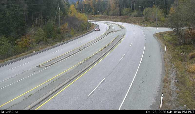
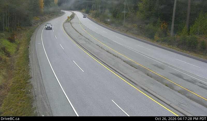
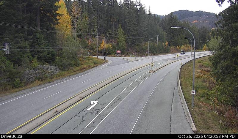
Cámaras web cerca de Cinder Cone
Historia alrededor de Cinder Cone
- The first athlete to represent Colombia at the Winter Olympics, Cynthia Denzler, competes in her first event: the women's giant slalom alpine skiing competition2010
- Dario Cologna secures Switzerland's first ever Olympic cross-country gold medal and Norway delivers its poorest ever cross-country Olympic performance in the…2010
- Georgian luger Nodar Kumaritashvili is killed after a crash at the Whistler Sliding Centre, during a training run for the 2010 Winter Olympics2010
Ciudades cerca de Cinder Cone
- Squamisha 32 km
- West Vancouvera 72 km
- Distrito de Vancouver Nortea 73 km
- Port Moodya 78 km
- Coquitlama 78 km
- Burnabya 79 km