Cinder Cone
1,910 米6,266 英尺
山 · 加里波第山脉 · 加拿大
Cinder Cone is a cinder cone with a small crater on the west side of the Helm Glacier in Garibaldi Provincial Park in British Columbia, Canada. Cinder Cone is surrounded by cinder flats and its crater is filled with meltwater during the summer.
来自Wikipedia,CC BY-SA · 阅读文章
山顶 · 6:00 的预报
-3 °C雾 · 南风 4 km/h
 3D 查看
Cinder Cone山顶天气,1,910 米
- 6:00-3 °C南 4 km/h–
- 9:00-3 °C南 6 km/h0.9 mm
- 12:00-2 °C南 7 km/h1.4 mm
- 15:00-3 °C西南 6 km/h5.2 mm
- 18:00-5 °C南 5 km/h–
- 21:00-5 °C南 3 km/h–
- 0:00-5 °C西南 3 km/h0.3 mm
- 3:00-5 °C西 1 km/h0.6 mm
| 日期 | 天气 | 最高 / 最低 | 雨 | 最大风速 |
|---|---|---|---|---|
| 今天 | 中雪 | -2 °C / -5 °C | 7.5 mm | 8 km/h |
| 10月28日周三 | 中雪 | -3 °C / -7 °C | 6.9 mm | 4 km/h |
| 10月29日周四 | 小雪 | -3 °C / -9 °C | 1 mm | 9 km/h |
| 10月30日周五 | 中雪 | -5 °C / -10 °C | 2.2 mm | 5 km/h |
| 10月31日周六 | 多云 | -4 °C / -10 °C | – | 2 km/h |
| 11月1日周日 | 阴 | -5 °C / -8 °C | 0.7 mm | 5 km/h |
| 11月2日周一 | 多云 | 3 °C / -5 °C | – | 3 km/h |
预报来自 MET Norway(CC BY 4.0),更新于 GMT-7 02:22。时间均为当地时间。
基本信息
Cinder Cone (British Columbia)
Mountain in Canada
Cinder Cone is a cinder cone with a small crater on the west side of the Helm Glacier in Garibaldi Provincial Park in British Columbia, Canada. Cinder Cone is surrounded by cinder flats and its crater is filled with meltwater during the summer. Cinder Cone is eroded easily by meltwater during the spring, washing the pyroclastics into the Valley of Desolation.
来自Wikipedia,CC BY-SA · 阅读文章
Cinder Cone附近的山峰
- 黑圖斯克山2,319 米 · 2.6 公里外地图上
- Clinker Peak1,992 米 · 5.2 公里外地图上
- Castle Towers Mountain2,676 米 · 5.9 公里外地图上
- Mount Price2,049 米 · 6.4 公里外地图上
- 泰布尔山2,021 米 · 8.5 公里外地图上
- The Sphinx2,402 米 · 8.7 公里外地图上
- Flute Summit2,015 米 · 9.5 公里外地图上
- Piccolo Summit2,043 米 · 9.6 公里外地图上
- 惠斯勒山2,181 米 · 10 公里外地图上
- Fissile Peak2,439 米 · 12 公里外地图上
加里波第山脉最高峰
- Wedge Mountain2,895 米地图上
- Mount Weart2,835 米地图上
- 加里波第山2,678 米地图上
- Castle Towers Mountain2,676 米地图上
- Mount Currie2,591 米地图上
- 黑圖斯克山2,319 米地图上
- Rainbow Mountain2,314 米地图上
- Mount Judge Howay2,262 米地图上
- Cinder Cone1,910 米地图上
加拿大最高的山
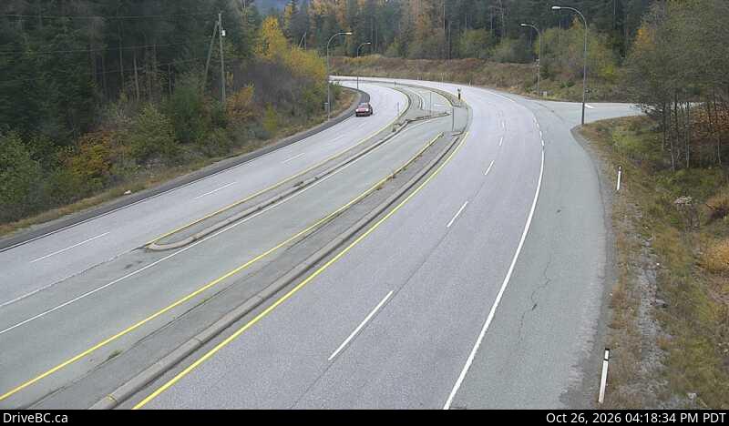
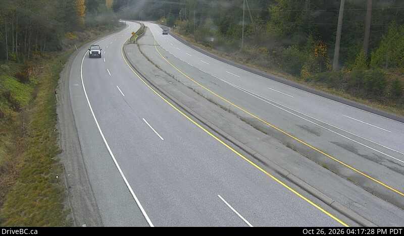
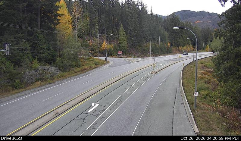
Cinder Cone附近的网络摄像头
Cinder Cone周边的历史
- The first athlete to represent Colombia at the Winter Olympics, Cynthia Denzler, competes in her first event: the women's giant slalom alpine skiing competition2010
- Dario Cologna secures Switzerland's first ever Olympic cross-country gold medal and Norway delivers its poorest ever cross-country Olympic performance in the…2010
- Georgian luger Nodar Kumaritashvili is killed after a crash at the Whistler Sliding Centre, during a training run for the 2010 Winter Olympics2010