Corral Ridge
8174 ft2491 m
Montaña · Sierra Nevada · Estados Unidos
Corral Ridge or Corral Hollow Hill, a minor summit in the Sierra Nevada, is the highest point in Calaveras County. It stands nearly 4,000 feet (1,200 m) above the North Fork of the Mokelumne River. Located near the Alpine county line, it is east of the Salt Springs Reservoir and west of the town of Bear Valley.
De Wikipedia, CC BY-SA · Leer el artículo
En la cumbre · pronóstico para las 4:00
30 °FDespejado · viento de 6 mph del SE
Clima en la cumbre de Corral Ridge, 8174 ft
- 4:0030 °FSE 6 mph–
- 7:0029 °FSE 7 mph–
- 10:0041 °FS 11 mph–
- 13:0046 °FSO 15 mph–
- 16:0042 °FSO 14 mph–
- 19:0030 °FSE 8 mph–
- 22:0028 °FE 5 mph–
- 1:0028 °FE 4 mph–
| Día | Cielo | Máx. / mín. | Lluvia | Viento hasta |
|---|---|---|---|---|
| Hoy | Mayormente despejado | 46 °F / 27 °F | – | 15 mph |
| mié, 28 oct | Parcialmente nublado | 49 °F / 27 °F | – | 7 mph |
| jue, 29 oct | Nublado | 44 °F / 29 °F | 0,01 pulg. | 11 mph |
| vie, 30 oct | Lluvia | 38 °F / 28 °F | 0,09 pulg. | 9 mph |
| sáb, 31 oct | Aguanieve | 33 °F / 26 °F | 0,07 pulg. | 9 mph |
| dom, 1 nov | Despejado | 43 °F / 19 °F | – | 11 mph |
| lun, 2 nov | Despejado | 51 °F / 29 °F | – | 10 mph |
Pronóstico de MET Norway (CC BY 4.0), actualizado a las 02:21 GMT-7. Horas locales.
Ficha técnica
- Tipo
- Montaña
- Altitud sobre el nivel del mar
- 8174 ft (2491 m)
- Cordillera
- Sierra Nevada
- País
- Estados Unidos
- Coordenadas
- 38.483°N 120.077°W
- Fuente
- Wikidata, CC0
Corral Ridge
Mountain summit in California, US
Corral Ridge or Corral Hollow Hill, a minor summit in the Sierra Nevada, is the highest point in Calaveras County. It stands nearly 4,000 feet (1,200 m) above the North Fork of the Mokelumne River. Located near the Alpine county line, it is east of the Salt Springs Reservoir and west of the town of Bear Valley. Due to its high elevation much of the precipitation that the summit receives is in the form of snow.
De Wikipedia, CC BY-SA · Leer el artículo
Picos cerca de Corral Ridge
- Mokelumne Peak9338 ft · a 6,3 kmEn el mapa
- Deadwood Peak9846 ft · a 18 kmEn el mapa
- Dardanelles Cone9527 ft · a 20 kmEn el mapa
- Round Top10.381 ft · a 21 kmEn el mapa
- Thunder Mountain9414 ft · a 21 kmEn el mapa
- Raymond Peak10.013 ft · a 25 kmEn el mapa
- Red Lake Peak10.068 ft · a 27 kmEn el mapa
- Highland Peak10.935 ft · a 29 kmEn el mapa
- Stanislaus Peak11.234 ft · a 37 kmEn el mapa
- Talking Mountain8828 ft · a 39 kmEn el mapa
Los más altos de Sierra Nevada
- Monte Whitney14.505 ftEn el mapa
- Mount Williamson14.403 ftEn el mapa
- Mount Russell14.094 ftEn el mapa
- Monte Langley14.032 ftEn el mapa
- Mount Tyndall14.025 ftEn el mapa
- Mount Humphreys13.992 ftEn el mapa
- Mount Keith13.982 ftEn el mapa
- Mount LeConte13.936 ftEn el mapa
- Corral Ridge8174 ftEn el mapa
Montañas más altas de Estados Unidos
- Denali20.308 ftEn el mapa
- Monte San Elías18.009 ftEn el mapa
- Monte Foraker17.402 ftEn el mapa
- Monte Bona16.535 ftEn el mapa
- Monte Blackburn16.390 ftEn el mapa
- Monte Sanford16.237 ftEn el mapa
- Monte Vancouver15.787 ftEn el mapa
- Monte Churchill15.636 ftEn el mapa
- Monte Fairweather15.325 ftEn el mapa
- Mount Hubbard14.951 ftEn el mapa
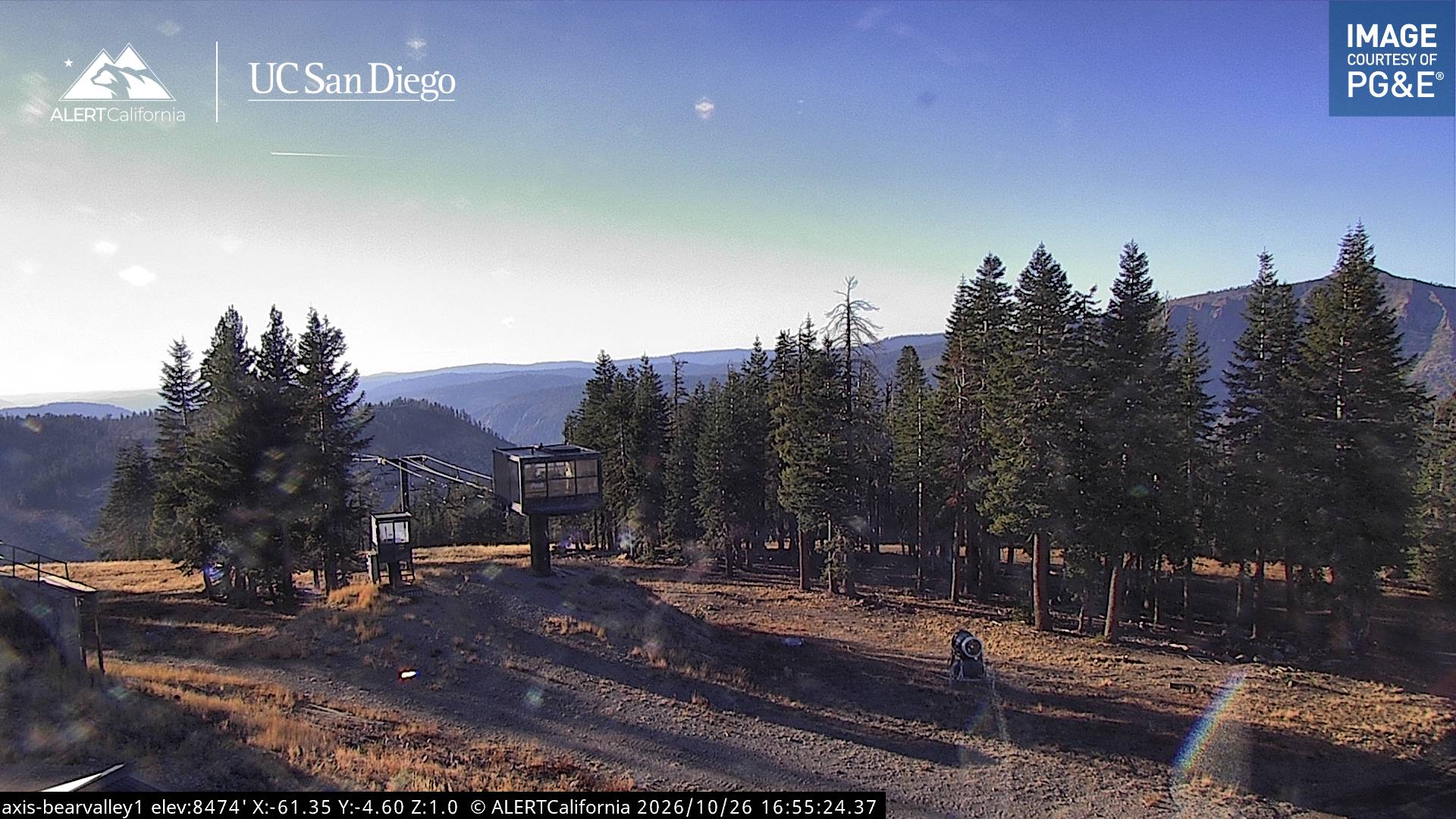
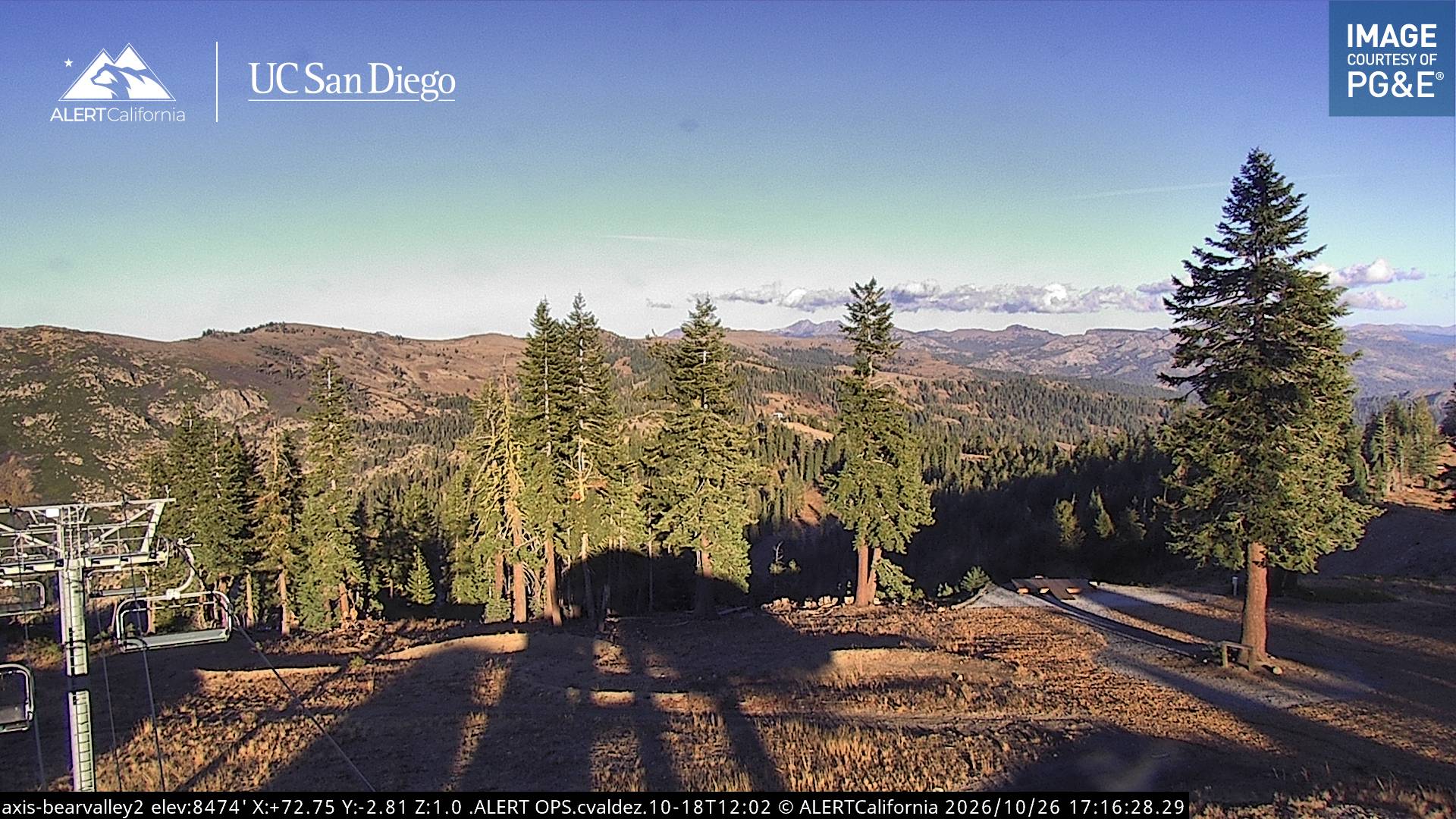
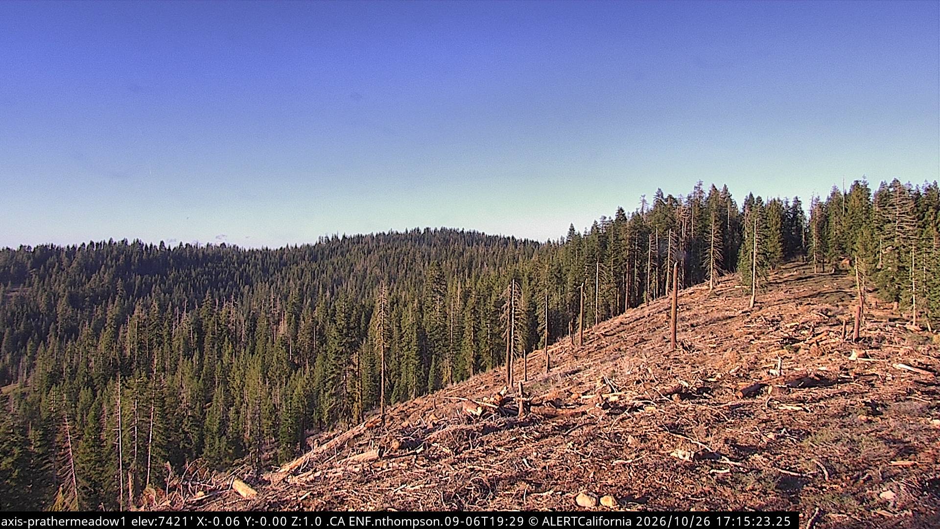
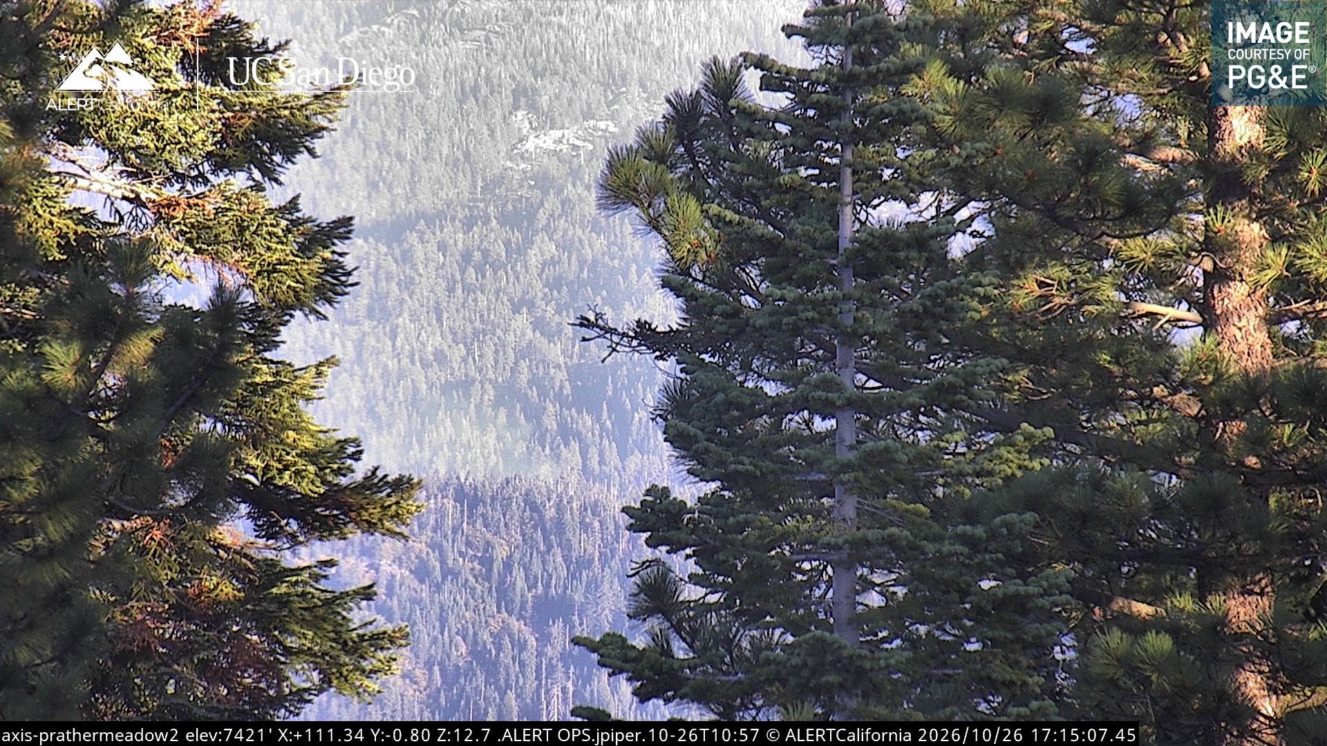
Cámaras web cerca de Corral Ridge
Historia alrededor de Corral Ridge
- Donnell Fire2018
Ciudades cerca de Corral Ridge
- South Lake Tahoea 51 km
- Angelsa 62 km
- Sonoraa 62 km
- Sutter Creeka 64 km
- Plymoutha 68 km
- Placervillea 68 km