Corral Ridge
8,174 英尺2,491 米
山 · 內華達山脈 · 美国
Corral Ridge or Corral Hollow Hill, a minor summit in the Sierra Nevada, is the highest point in Calaveras County. It stands nearly 4,000 feet (1,200 m) above the North Fork of the Mokelumne River. Located near the Alpine county line, it is east of the Salt Springs Reservoir and west of the town of Bear Valley.
来自Wikipedia,CC BY-SA · 阅读文章
山顶 · 7:00 的预报
29 °F晴 · 东南风 7 英里/小时
Corral Ridge山顶天气,8,174 英尺
- 7:0029 °F东南 7 英里/小时–
- 10:0041 °F南 11 英里/小时–
- 13:0046 °F西南 15 英里/小时–
- 16:0042 °F西南 14 英里/小时–
- 19:0030 °F东南 8 英里/小时–
- 22:0028 °F东 5 英里/小时–
- 1:0028 °F东 4 英里/小时–
- 4:0028 °F东 4 英里/小时–
| 日期 | 天气 | 最高 / 最低 | 雨 | 最大风速 |
|---|---|---|---|---|
| 今天 | 少云 | 46 °F / 27 °F | – | 15 英里/小时 |
| 10月28日周三 | 多云 | 49 °F / 27 °F | – | 7 英里/小时 |
| 10月29日周四 | 阴 | 44 °F / 29 °F | 0.02 英寸 | 11 英里/小时 |
| 10月30日周五 | 阴 | 38 °F / 31 °F | 0.05 英寸 | 6 英里/小时 |
| 10月31日周六 | 大雪 | 32 °F / 27 °F | 0.51 英寸 | 4 英里/小时 |
| 11月1日周日 | 晴 | 39 °F / 25 °F | – | 14 英里/小时 |
| 11月2日周一 | 晴 | 48 °F / 27 °F | – | 11 英里/小时 |
预报来自 MET Norway(CC BY 4.0),更新于 GMT-7 04:19。时间均为当地时间。
基本信息
Corral Ridge
Mountain summit in California, US
Corral Ridge or Corral Hollow Hill, a minor summit in the Sierra Nevada, is the highest point in Calaveras County. It stands nearly 4,000 feet (1,200 m) above the North Fork of the Mokelumne River. Located near the Alpine county line, it is east of the Salt Springs Reservoir and west of the town of Bear Valley. Due to its high elevation much of the precipitation that the summit receives is in the form of snow.
来自Wikipedia,CC BY-SA · 阅读文章
Corral Ridge附近的山峰
- Mokelumne Peak9,338 英尺 · 6.3 公里外地图上
- Deadwood Peak9,846 英尺 · 18 公里外地图上
- Dardanelles Cone9,527 英尺 · 20 公里外地图上
- Round Top10,381 英尺 · 21 公里外地图上
- Thunder Mountain9,414 英尺 · 21 公里外地图上
- Raymond Peak10,013 英尺 · 25 公里外地图上
- Red Lake Peak10,068 英尺 · 27 公里外地图上
- Highland Peak10,935 英尺 · 29 公里外地图上
- Stanislaus Peak11,234 英尺 · 37 公里外地图上
- Talking Mountain8,828 英尺 · 39 公里外地图上
內華達山脈最高峰
- 惠特尼峰14,505 英尺地图上
- 威廉森山14,403 英尺地图上
- Mount Russell14,094 英尺地图上
- Mount Langley14,032 英尺地图上
- Mount Tyndall14,025 英尺地图上
- Mount Humphreys13,992 英尺地图上
- Mount Keith13,982 英尺地图上
- Mount LeConte13,936 英尺地图上
- Corral Ridge8,174 英尺地图上
美国最高的山
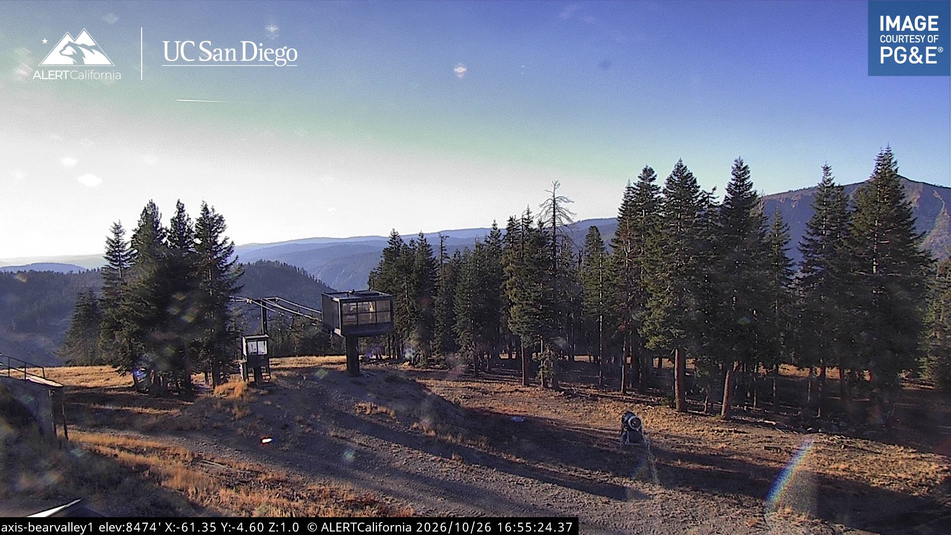
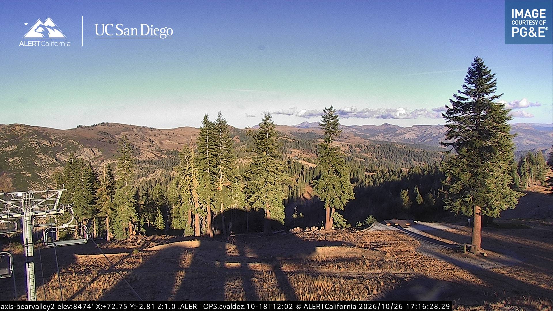
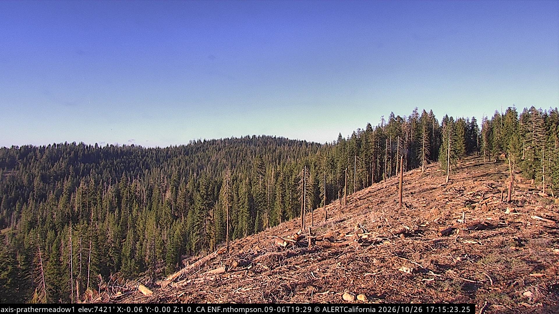
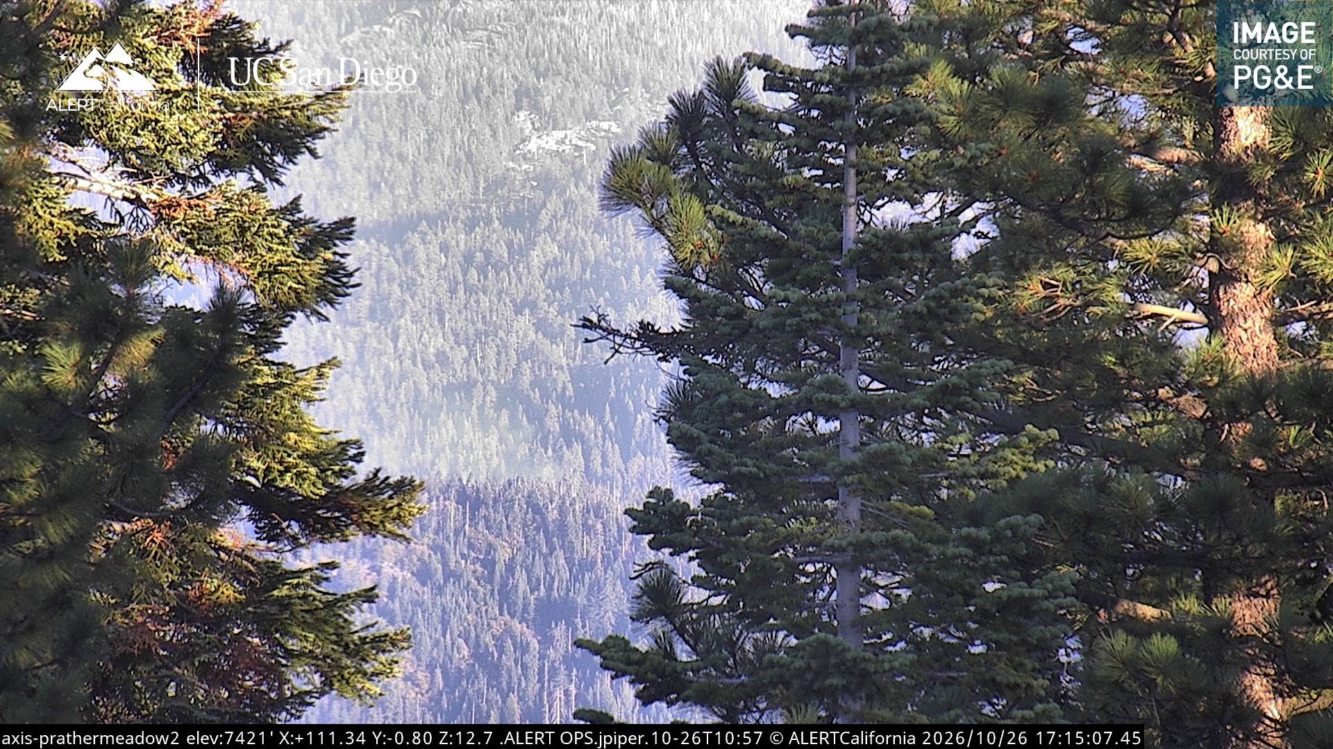
Corral Ridge附近的网络摄像头
Corral Ridge周边的历史
- Donnell Fire2018
Corral Ridge附近的城镇
- 南太浩湖51 公里外
- Angels62 公里外
- Sonora62 公里外
- Sutter Creek64 公里外
- Plymouth68 公里外
- Placerville68 公里外