Eagle Peak
5955 ft1815 m
Montaña · Tatoosh Range · Estados Unidos
Eagle Peak is a 5,958-foot (1,816-metre) mountain summit in Lewis County of Washington state. It is set on the west end of the Tatoosh Range which is a sub-range of the Cascade Range. It is located south of Mount Rainier, within Mount Rainier National Park, and immediately east of Longmire.
De Wikipedia, CC BY-SA · Leer el artículo
En la cumbre · pronóstico para las 3:00
26 °FNieve fuerte · viento de 9 mph del O
 Verla en 3D
Clima en la cumbre de Eagle Peak, 5955 ft
- 3:0026 °FO 9 mph0,18 pulg.
- 6:0026 °FO 11 mph0,17 pulg.
- 9:0025 °FO 9 mph0,1 pulg.
- 12:0027 °FO 9 mph0,07 pulg.
- 15:0027 °FO 7 mph0,03 pulg.
- 18:0023 °FNO 5 mph0,02 pulg.
- 21:0022 °FN 6 mph–
- 0:0022 °FNE 5 mph–
| Día | Cielo | Máx. / mín. | Lluvia | Viento hasta |
|---|---|---|---|---|
| Hoy | Nieve | 27 °F / 21 °F | 0,56 pulg. | 11 mph |
| jue, 29 oct | Parcialmente nublado | 31 °F / 17 °F | 0,26 pulg. | 7 mph |
| vie, 30 oct | Mayormente despejado | 30 °F / 19 °F | 0,06 pulg. | 5 mph |
| sáb, 31 oct | Despejado | 29 °F / 17 °F | – | 3 mph |
| dom, 1 nov | Mayormente despejado | 29 °F / 21 °F | – | 2 mph |
| lun, 2 nov | Mayormente despejado | 44 °F / 33 °F | – | 3 mph |
| mar, 3 nov | Despejado | 43 °F / 38 °F | – | 3 mph |
Pronóstico de MET Norway (CC BY 4.0), actualizado a las 02:22 GMT-7. Horas locales.
Ficha técnica
- Tipo
- Montaña
- Altitud sobre el nivel del mar
- 5955 ft (1815 m)
- Cordillera
- Tatoosh Range
- País
- Estados Unidos
- Coordenadas
- 46.756°N 121.779°W
- Fuente
- Wikidata, CC0
Eagle Peak (Washington)
Mountain in Washington (state), United States
Eagle Peak is a 5,958-foot (1,816-metre) mountain summit in Lewis County of Washington state. It is set on the west end of the Tatoosh Range which is a sub-range of the Cascade Range. It is located south of Mount Rainier, within Mount Rainier National Park, and immediately east of Longmire. Eagle Peak was originally known as Simlayshe, a Native American word meaning eagle.
De Wikipedia, CC BY-SA · Leer el artículo
Picos cerca de Eagle Peak
- Chutla Peak6007 ft · a 0,5 kmEn el mapa
- Wahpenayo Peak6221 ft · a 1,3 kmEn el mapa
- Lane Peak6012 ft · a 2 kmEn el mapa
- Denman Peak6006 ft · a 2,7 kmEn el mapa
- Pinnacle Peak6562 ft · a 3,6 kmEn el mapa
- Plummer Peak6371 ft · a 3,7 kmEn el mapa
- The Castle6440 ft · a 3,9 kmEn el mapa
- Foss Peak6524 ft · a 5,1 kmEn el mapa
- Iron Mountain6286 ft · a 5,6 kmEn el mapa
- West Unicorn Peak6840 ft · a 5,8 kmEn el mapa
Los más altos de Tatoosh Range
- Unicorn Peak6972 ftEn el mapa
- Eagle Peak5955 ftEn el mapa
Montañas más altas de Estados Unidos
- Denali20.308 ftEn el mapa
- Monte San Elías18.009 ftEn el mapa
- Monte Foraker17.402 ftEn el mapa
- Monte Bona16.535 ftEn el mapa
- Monte Blackburn16.390 ftEn el mapa
- Monte Sanford16.237 ftEn el mapa
- Monte Vancouver15.787 ftEn el mapa
- Monte Churchill15.636 ftEn el mapa
- Monte Fairweather15.325 ftEn el mapa
- Mount Hubbard14.951 ftEn el mapa
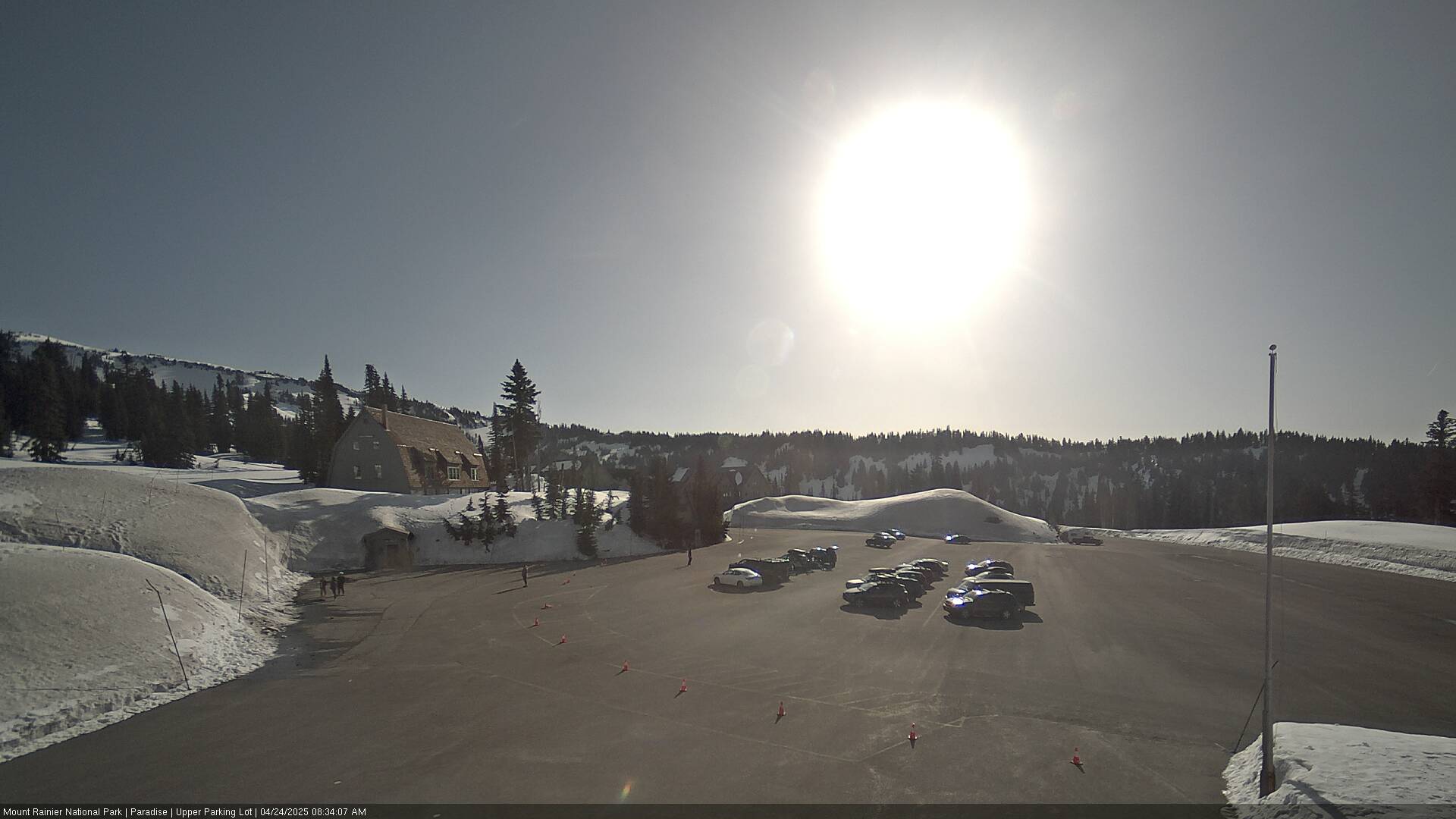
Cámaras web cerca de Eagle Peak



Ciudades cerca de Eagle Peak
- Ortinga 50 km
- Grahama 51 km
- Enumclawa 52 km
- Bonney Lakea 56 km
- South Hilla 57 km
- Fredericksona 58 km