Eagle Peak
5,955 ft1,815 m
Mountain · Tatoosh Range · United States
Eagle Peak is a 5,958-foot (1,816-metre) mountain summit in Lewis County of Washington state. It is set on the west end of the Tatoosh Range which is a sub-range of the Cascade Range. It is located south of Mount Rainier, within Mount Rainier National Park, and immediately east of Longmire.
From Wikipedia, CC BY-SA · Read the article
 See it in 3D
Facts
- What it is
- Mountain
- Height above sea level
- 5,955 ft (1,815 m)
- Range
- Tatoosh Range
- Country
- United States
- Coordinates
- 46.756°N 121.779°W
- Source
- Wikidata, CC0
Eagle Peak (Washington)
Mountain in Washington (state), United States
Eagle Peak is a 5,958-foot (1,816-metre) mountain summit in Lewis County of Washington state. It is set on the west end of the Tatoosh Range which is a sub-range of the Cascade Range. It is located south of Mount Rainier, within Mount Rainier National Park, and immediately east of Longmire. Eagle Peak was originally known as Simlayshe, a Native American word meaning eagle.
From Wikipedia, CC BY-SA · Read the article
Peaks near Eagle Peak
- Chutla Peak6,007 ft · 0.5 km awayOn the map
- Wahpenayo Peak6,221 ft · 1.3 km awayOn the map
- Lane Peak6,012 ft · 2 km awayOn the map
- Denman Peak6,006 ft · 2.7 km awayOn the map
- Pinnacle Peak6,562 ft · 3.6 km awayOn the map
- Plummer Peak6,371 ft · 3.7 km awayOn the map
- The Castle6,440 ft · 3.9 km awayOn the map
- Foss Peak6,524 ft · 5.1 km awayOn the map
- Iron Mountain6,286 ft · 5.6 km awayOn the map
- West Unicorn Peak6,840 ft · 5.8 km awayOn the map
Highest in the Tatoosh Range
- Unicorn Peak6,972 ftOn the map
- Eagle Peak5,955 ftOn the map
Highest mountains in United States
- Denali20,308 ftOn the map
- Mount Saint Elias18,009 ftOn the map
- Mount Foraker17,402 ftOn the map
- Mount Bona16,535 ftOn the map
- Mount Blackburn16,390 ftOn the map
- Mount Sanford16,237 ftOn the map
- Mount Vancouver15,787 ftOn the map
- Mount Churchill15,636 ftOn the map
- Mount Fairweather15,325 ftOn the map
- Mount Hubbard14,951 ftOn the map
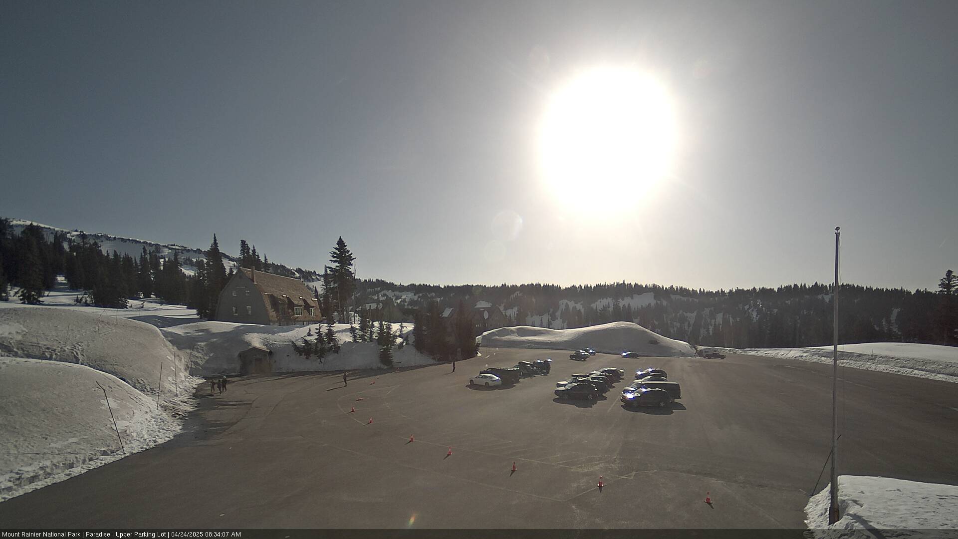
Webcams near Eagle Peak



Towns near Eagle Peak
- Orting50 km away
- Graham51 km away
- Enumclaw52 km away
- Bonney Lake56 km away
- South Hill57 km away
- Frederickson58 km away