Iron Mountain
6,286 ft1,916 m
Mountain · Cascade Range · United States
Iron Mountain is a 6,286-foot (1,916-metre) mountain summit located in Mount Rainier National Park in Pierce County of Washington state. Part of the Cascade Range, it is situated near the base of the Success Cleaver, overlooking Indian Henry's Hunting Ground.
From Wikipedia, CC BY-SA · Read the article
At the summit · forecast for 5:00 AM
25 °FHeavy snow · wind 11 mph from the W
 See it in 3D
Weather at the summit of Iron Mountain, 6,286 ft
- 5:00 AM25 °FW 11 mph0.18 in
- 8:00 AM23 °FW 10 mph0.11 in
- 11:00 AM25 °FW 9 mph0.08 in
- 2:00 PM26 °FSW 7 mph0.04 in
- 5:00 PM24 °FW 6 mph0.01 in
- 8:00 PM20 °FNW 5 mph0.01 in
- 11:00 PM21 °FNE 6 mph–
- 2:00 AM16 °FNE 6 mph0.02 in
| Day | Sky | High / low | Rain | Wind up to |
|---|---|---|---|---|
| Today | Snow | 26 °F / 20 °F | 0.44 in | 11 mph |
| Thu, Oct 29 | Partly cloudy | 30 °F / 16 °F | 0.26 in | 7 mph |
| Fri, Oct 30 | Mostly clear | 29 °F / 16 °F | 0.05 in | 5 mph |
| Sat, Oct 31 | Light snow | 30 °F / 19 °F | 0.04 in | 2 mph |
| Sun, Nov 1 | Mostly clear | 28 °F / 20 °F | – | 2 mph |
| Mon, Nov 2 | Cloudy | 41 °F / 27 °F | – | 2 mph |
| Tue, Nov 3 | Clear | 43 °F / 32 °F | – | 2 mph |
Forecast by MET Norway (CC BY 4.0), updated 04:19 AM PDT. Times are local.
Facts
- What it is
- Mountain
- Height above sea level
- 6,286 ft (1,916 m)
- Range
- Cascade Range
- Country
- United States
- Coordinates
- 46.793°N 121.828°W
- Source
- Wikidata, CC0
Iron Mountain (Pierce County, Washington)
Mountain in Washington (state), United States
Iron Mountain is a 6,286-foot (1,916-metre) mountain summit located in Mount Rainier National Park in Pierce County of Washington state. Part of the Cascade Range, it is situated near the base of the Success Cleaver, overlooking Indian Henry's Hunting Ground. The nearest higher neighbor is Copper Mountain, 0.3 miles (0.48 km) to the north. The summit provides views of Mount Rainier, Mount Adams, Mount St.
From Wikipedia, CC BY-SA · Read the article
Peaks near Iron Mountain
- Copper Mountain6,302 ft · 0.5 km awayOn the map
- Pyramid Peak6,936 ft · 2 km awayOn the map
- Tokaloo Rock7,684 ft · 5.2 km awayOn the map
- Eagle Peak5,955 ft · 5.6 km awayOn the map
- Tumtum Peak4,610 ft · 5.7 km awayOn the map
- Chutla Peak6,007 ft · 6.1 km awayOn the map
- Wahpenayo Peak6,221 ft · 6.9 km awayOn the map
- Lane Peak6,012 ft · 6.9 km awayOn the map
- Denman Peak6,006 ft · 7.6 km awayOn the map
- Plummer Peak6,371 ft · 7.8 km awayOn the map
Highest in the Cascade Range
- Mount Rainier14,400 ftOn the map
- Mount Adams12,280 ftOn the map
- Mount McLoughlin9,495 ftOn the map
- Mount Thielsen9,183 ftOn the map
- Broken Top9,177 ftOn the map
- Black Peak8,976 ftOn the map
- Dome Peak8,921 ftOn the map
- Silver Star Mountain8,875 ftOn the map
- Iron Mountain6,286 ftOn the map
Highest mountains in United States
- Denali20,308 ftOn the map
- Mount Saint Elias18,009 ftOn the map
- Mount Foraker17,402 ftOn the map
- Mount Bona16,535 ftOn the map
- Mount Blackburn16,390 ftOn the map
- Mount Sanford16,237 ftOn the map
- Mount Vancouver15,787 ftOn the map
- Mount Churchill15,636 ftOn the map
- Mount Fairweather15,325 ftOn the map
- Mount Hubbard14,951 ftOn the map
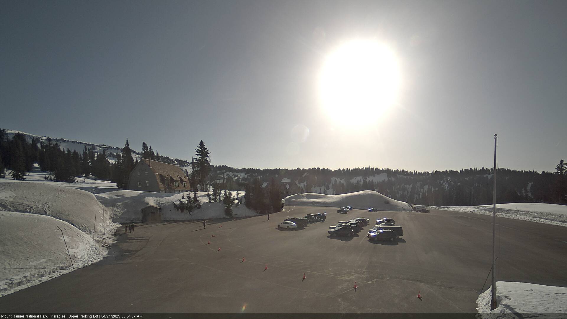
Webcams near Iron Mountain



Towns near Iron Mountain
- Orting45 km away
- Graham46 km away
- Enumclaw47 km away
- Bonney Lake51 km away
- South Hill51 km away
- Frederickson53 km away