Flatirons
7500 ft2286 m
Montaña · Cordillera Front · Estados Unidos
The Flatirons are rock formations in the western United States, near Boulder, Colorado, consisting of flatirons. There are five large, numbered Flatirons ranging from north to south along the east slope of Green Mountain, and the term "The Flatirons" sometimes refers to these five alone.
De Wikipedia, CC BY-SA · Leer el artículo
En la cumbre · pronóstico para las 19:00
41 °FDespejado · viento de 4 mph del SO
 Verla en 3D
Clima en la cumbre de Flatirons, 7500 ft
- 19:0041 °FSO 4 mph–
- 22:0034 °FO 4 mph–
- 1:0030 °FSO 6 mph–
- 4:0029 °FSO 9 mph–
- 7:0031 °FSO 10 mph–
- 10:0049 °FE 5 mph–
- 13:0054 °FE 5 mph–
- 16:0055 °FE 5 mph–
| Día | Cielo | Máx. / mín. | Lluvia | Viento hasta |
|---|---|---|---|---|
| mar, 27 oct | Parcialmente nublado | 55 °F / 29 °F | – | 11 mph |
| mié, 28 oct | Despejado | 60 °F / 28 °F | – | 9 mph |
| jue, 29 oct | Parcialmente nublado | 55 °F / 29 °F | – | 8 mph |
| vie, 30 oct | Nublado | 55 °F / 34 °F | – | 3 mph |
| sáb, 31 oct | Parcialmente nublado | 52 °F / 34 °F | 0,01 pulg. | 4 mph |
| dom, 1 nov | Nublado | 52 °F / 31 °F | 0,12 pulg. | 7 mph |
| lun, 2 nov | Nublado | 35 °F / 30 °F | 0,2 pulg. | 9 mph |
Pronóstico de MET Norway (CC BY 4.0), actualizado a las 17:19 GMT-6. Horas locales.
Ficha técnica
- Tipo
- Montaña
- Altitud sobre el nivel del mar
- 7500 ft (2286 m)
- Cordillera
- Cordillera Front
- País
- Estados Unidos
- Coordenadas
- 39.988°N 105.293°W
- Fuente
- Wikidata, CC0
The Flatirons
Rock formations near Boulder, Colorado, US
The Flatirons are rock formations in the western United States, near Boulder, Colorado, consisting of flatirons. There are five large, numbered Flatirons ranging from north to south along the east slope of Green Mountain, and the term "The Flatirons" sometimes refers to these five alone. Numerous additional named Flatirons are on the southern part of Green Mountain, Bear Peak, and among the surrounding foothills.
De Wikipedia, CC BY-SA · Leer el artículo
Picos cerca de Flatirons
- Green Mountain (Boulder, Colorado)8148 ft · a 1 kmEn el mapa
- Flagstaff Mountain6983 ft · a 1,9 kmEn el mapa
- Bear Peak8459 ft · a 3,1 kmEn el mapa
- Eldorado Mountain8344 ft · a 8,2 kmEn el mapa
- North Table Mountain6555 ft · a 24 kmEn el mapa
- Lookout Mountain7377 ft · a 25 kmEn el mapa
- South Table Mountain6338 ft · a 27 kmEn el mapa
- Mount Zion7062 ft · a 28 kmEn el mapa
- Mount Audubon13.229 ft · a 30 kmEn el mapa
- North Arapaho Peak13.508 ft · a 31 kmEn el mapa
Los más altos de Cordillera Front
- Pico Grays14.272 ftEn el mapa
- Mount Blue Sky14.265 ftEn el mapa
- Longs Peak14.255 ftEn el mapa
- Pico Pikes14.114 ftEn el mapa
- Mount Bierstadt14.062 ftEn el mapa
- Mount Silverheels13.829 ftEn el mapa
- Bard Peak13.647 ftEn el mapa
- North Arapaho Peak13.508 ftEn el mapa
- Flatirons7500 ftEn el mapa
Montañas más altas de Estados Unidos
- Denali20.308 ftEn el mapa
- Monte San Elías18.009 ftEn el mapa
- Monte Foraker17.402 ftEn el mapa
- Monte Bona16.535 ftEn el mapa
- Monte Blackburn16.390 ftEn el mapa
- Monte Sanford16.237 ftEn el mapa
- Monte Vancouver15.787 ftEn el mapa
- Monte Churchill15.636 ftEn el mapa
- Monte Fairweather15.325 ftEn el mapa
- Mount Hubbard14.951 ftEn el mapa
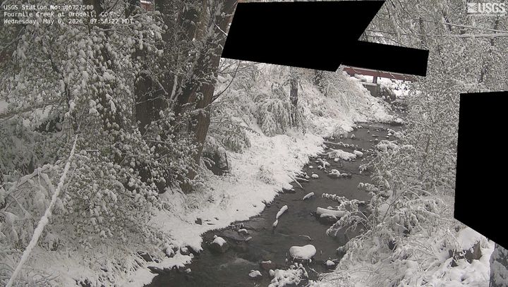
Cámaras web cerca de Flatirons


Historia alrededor de Flatirons
Ciudades cerca de Flatirons
- Bouldera 3,5 km
- Superiora 13 km
- Louisvillea 14 km
- Lafayettea 17 km
- Broomfielda 19 km
- Eriea 22 km