 See it in 3D
Facts
- What it is
- Mountain
- Height above sea level
- 7,500 ft (2,286 m)
- Range
- Front Range
- Country
- United States
- Coordinates
- 39.988°N 105.293°W
- Source
- Wikidata, CC0
Peaks near Flatirons
- Green Mountain (Boulder, Colorado)8,148 ft · 1 km awayOn the map
- Flagstaff Mountain6,983 ft · 1.9 km awayOn the map
- Bear Peak8,459 ft · 3.1 km awayOn the map
- Eldorado Mountain8,344 ft · 8.2 km awayOn the map
- North Table Mountain6,555 ft · 24 km awayOn the map
- Lookout Mountain7,377 ft · 25 km awayOn the map
- South Table Mountain6,338 ft · 27 km awayOn the map
- Mount Zion7,062 ft · 28 km awayOn the map
- Mount Audubon13,229 ft · 30 km awayOn the map
- North Arapaho Peak13,508 ft · 31 km awayOn the map
Highest in the Front Range
- Grays Peak14,272 ftOn the map
- Mount Blue Sky14,265 ftOn the map
- Longs Peak14,255 ftOn the map
- Pikes Peak14,114 ftOn the map
- Mount Bierstadt14,062 ftOn the map
- Mount Silverheels13,829 ftOn the map
- Bard Peak13,647 ftOn the map
- North Arapaho Peak13,508 ftOn the map
- Flatirons7,500 ftOn the map
Highest mountains in United States
- Denali20,308 ftOn the map
- Mount Saint Elias18,009 ftOn the map
- Mount Foraker17,402 ftOn the map
- Mount Bona16,535 ftOn the map
- Mount Blackburn16,390 ftOn the map
- Mount Sanford16,237 ftOn the map
- Mount Vancouver15,787 ftOn the map
- Mount Churchill15,636 ftOn the map
- Mount Fairweather15,325 ftOn the map
- Mount Hubbard14,951 ftOn the map
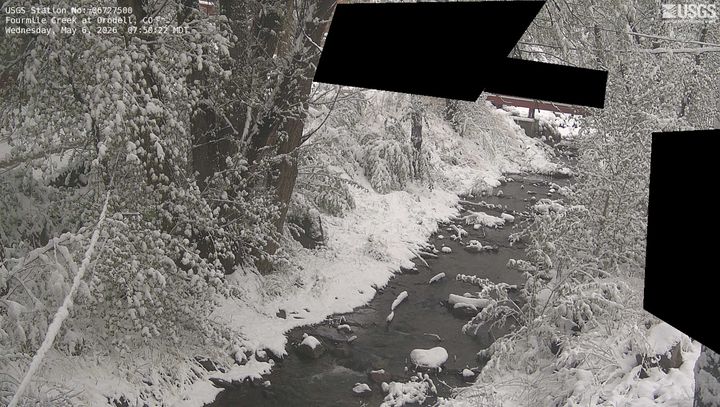
Webcams near Flatirons


History around Flatirons
Towns near Flatirons
- Boulder3.5 km away
- Superior13 km away
- Louisville14 km away
- Lafayette17 km away
- Broomfield19 km away
- Erie22 km away