Fleckistock
3417 m11.211 ft
Montaña · Alpes uraneses · Suiza
The Fleckistock is a 3,417 metres high mountain in the Urner Alps, overlooking Wassen in the canton of Uri. It is the highest summit of the group lying east of the pass of Sustenjoch.
De Wikipedia, CC BY-SA · Leer el artículo
En la cumbre · pronóstico para las 16:00
1 °CMayormente despejado · viento de 6 km/h del NO
 Verla en 3D
Clima en la cumbre de Fleckistock, 3417 m
- 16:001 °CNO 6 km/h–
- 19:00-4 °CO 4 km/h–
- 22:00-7 °CSO 3 km/h–
- 1:00-8 °CSO 5 km/h–
- 4:00-7 °CO 6 km/h0,2 mm
- 7:00-6 °CO 5 km/h–
- 10:00-5 °CNO 6 km/h0,2 mm
- 13:00-5 °CN 8 km/h0,1 mm
| Día | Cielo | Máx. / mín. | Lluvia | Viento hasta |
|---|---|---|---|---|
| mié, 28 oct | Nieve débil | -4 °C / -8 °C | 0,5 mm | 8 km/h |
| jue, 29 oct | Despejado | 0 °C / -12 °C | – | 5 km/h |
| vie, 30 oct | Despejado | -2 °C / -12 °C | – | 6 km/h |
| sáb, 31 oct | Despejado | -0 °C / -13 °C | – | 5 km/h |
| dom, 1 nov | Despejado | -1 °C / -10 °C | – | 4 km/h |
| lun, 2 nov | Despejado | 1 °C / -10 °C | – | 5 km/h |
| mar, 3 nov | Mayormente despejado | -2 °C / -9 °C | – | 5 km/h |
Pronóstico de MET Norway (CC BY 4.0), actualizado a las 10:21 CET. Horas locales.
Ficha técnica
- Tipo
- Montaña
- Altitud sobre el nivel del mar
- 3417 m (11.211 ft)
- Prominencia
- 761 m (2497 ft)
- Cordillera
- Alpes uraneses
- Pico padre
- Dammastock
- País
- Suiza
- Coordenadas
- 46.707°N 8.498°E
- Fuente
- Wikidata, CC0
Fleckistock
Mountain in Switzerland
The Fleckistock is a 3,417 metres high mountain in the Urner Alps, overlooking Wassen in the canton of Uri. It is the highest summit of the group lying east of the pass of Sustenjoch. This range, starting at the Stucklistock and ending at the Salbitschijen, separates the valleys of Voralp, above Göschenen and Meiental, above Wassen.
De Wikipedia, CC BY-SA · Leer el artículo
Picos cerca de Fleckistock
- Titlis3238 m · a 8,5 kmEn el mapa
- Dammastock3630 m · a 9,2 kmEn el mapa
- Galenstock3586 m · a 12 kmEn el mapa
- Witenwasserenstock3085 m · a 20 kmEn el mapa
- Pizzo Rotondo3192 m · a 21 kmEn el mapa
- Stanserhorn1898 m · a 27 kmEn el mapa
- Wetterhorn3690 m · a 30 kmEn el mapa
- Hugihorn3647 m · a 31 kmEn el mapa
- Lauteraarhorn4042 m · a 31 kmEn el mapa
- Oberaarhorn3631 m · a 31 kmEn el mapa
Pico padre
El pico más alto más cercano respecto al que se mide su prominencia.
- Dammastock3630 mEn el mapa
Picos por debajo de Fleckistock
- Stucklistock3313 mEn el mapa
- Rorspitzli3220 mEn el mapa
- Salbitschijen2981 mEn el mapa
Los más altos de Alpes uraneses
- Dammastock3630 mEn el mapa
- Sustenhorn3503 mEn el mapa
- Fleckistock3417 mEn el mapa
- Diechterhorn3389 mEn el mapa
- Titlis3238 mEn el mapa
- Gross Spannort3198 mEn el mapa
- Schlossberg3133 mEn el mapa
Montañas más altas de Suiza
- Pico Dufour4634 mEn el mapa
- Dom4546 mEn el mapa
- Liskamm4532 mEn el mapa
- Weisshorn4505 mEn el mapa
- Cervino4478 mEn el mapa
- Dent Blanche4357 mEn el mapa
- Grand Combin4309 mEn el mapa
- Finsteraarhorn4274 mEn el mapa
- Zinalrothorn4221 mEn el mapa
- Alphubel4206 mEn el mapa
Cámaras web cerca de Fleckistock
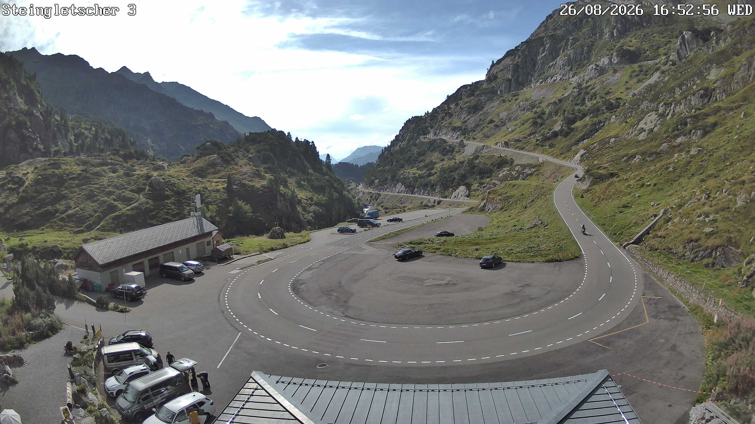


Historia alrededor de Fleckistock
- The Rhineland massacres: Members of the People's Crusade led by Count Emicho destroy most of the Jewish communities along the Rhine in a series of large…1096
- Göschenen riots1875
- Battle of Gotthard Pass1799
- Earthquake — Switzerland1601
- F/A-18 Absturz am Sustenpass2016
- Explosionsunglück am Steingletscher1992
- Lawinenunfall bei Wassen1888
- Battle of Devil's Bridge1799