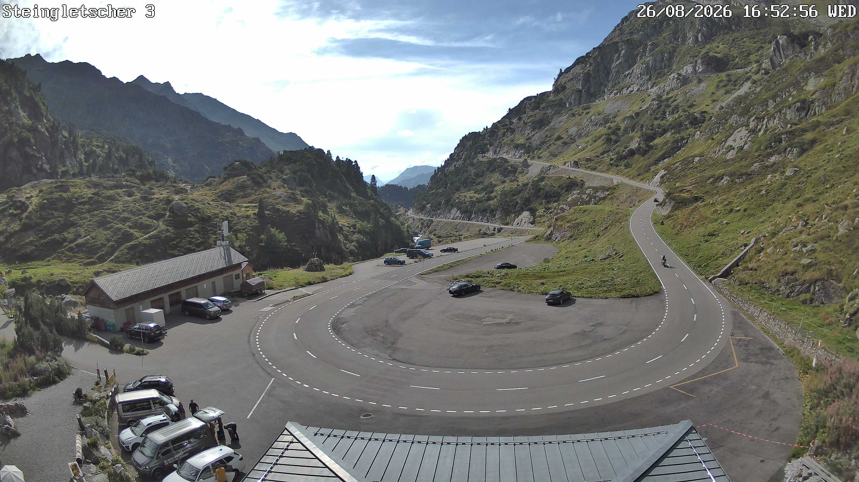
Gross Spannort
3198 m10.492 ft
Montaña · Alpes uraneses · Suiza
The Gross Spannort is a mountain of the Uri Alps, located between Engelberg and Erstfeld in Central Switzerland. It is located within the canton of Uri, although its summit lies on the watershed between the Engelberger Aa and the main Reuss valley.
De Wikipedia, CC BY-SA · Leer el artículo
En la cumbre · pronóstico para las 22:00
-4 °CNiebla · viento de 2 km/h del SO
 Verla en 3D
Clima en la cumbre de Gross Spannort, 3198 m
- 22:00-4 °CSO 2 km/h–
- 1:00-6 °CS 4 km/h–
- 4:00-5 °CS 4 km/h–
- 7:00-4 °CSO 2 km/h0,1 mm
- 10:00-4 °CN 6 km/h0,7 mm
- 13:00-4 °CN 6 km/h0,1 mm
- 16:00-5 °CN 5 km/h–
- 19:00-5 °CNE 5 km/h–
| Día | Cielo | Máx. / mín. | Lluvia | Viento hasta |
|---|---|---|---|---|
| mié, 28 oct | Nieve débil | -4 °C / -6 °C | 0,9 mm | 6 km/h |
| jue, 29 oct | Despejado | -1 °C / -8 °C | – | 6 km/h |
| vie, 30 oct | Despejado | -2 °C / -8 °C | – | 5 km/h |
| sáb, 31 oct | Despejado | -1 °C / -9 °C | – | 5 km/h |
| dom, 1 nov | Despejado | -2 °C / -10 °C | – | 4 km/h |
| lun, 2 nov | Mayormente despejado | -5 °C / -9 °C | – | 3 km/h |
| mar, 3 nov | Parcialmente nublado | -4 °C / -11 °C | – | 4 km/h |
Pronóstico de MET Norway (CC BY 4.0), actualizado a las 18:17 CET. Horas locales.
Ficha técnica
- Tipo
- Montaña
- Altitud sobre el nivel del mar
- 3198 m (10.492 ft)
- Prominencia
- 619 m (2031 ft)
- Cordillera
- Alpes uraneses
- Pico padre
- Titlis
- País
- Suiza
- Primer ascenso
- 1867
- Coordenadas
- 46.787°N 8.525°E
- Fuente
- Wikidata, CC0
Gross Spannort
Mountain in Switzerland
The Gross Spannort is a mountain of the Uri Alps, located between Engelberg and Erstfeld in Central Switzerland. It is located within the canton of Uri, although its summit lies on the watershed between the Engelberger Aa and the main Reuss valley. The Gross Spannort is almost entirely surrounded by glaciers, the largest being the Glatt Firn. South-west of the Gross Spannort is the Chli Spannort.
De Wikipedia, CC BY-SA · Leer el artículo
Picos cerca de Gross Spannort
- Titlis3238 m · a 6,8 kmEn el mapa
- Hinter Tierberg3445 m · a 15 kmEn el mapa
- Dammastock3630 m · a 18 kmEn el mapa
- Galenstock3586 m · a 21 kmEn el mapa
- Stanserhorn1898 m · a 21 kmEn el mapa
- Bürgenstock1128 m · a 26 kmEn el mapa
- Clariden3267 m · a 27 kmEn el mapa
- Witenwasserenstock3085 m · a 29 kmEn el mapa
- Tödi3612 m · a 30 kmEn el mapa
- Monte Pilatus2128 m · a 30 kmEn el mapa
Pico padre
El pico más alto más cercano respecto al que se mide su prominencia.
- Titlis3238 mEn el mapa
Picos por debajo de Gross Spannort
- Chli Spannort3140 mEn el mapa
- Schlossberg3133 mEn el mapa
- Krönten3108 mEn el mapa
- Wendenhorn3023 mEn el mapa
Los más altos de Alpes uraneses
- Dammastock3630 mEn el mapa
- Sustenhorn3503 mEn el mapa
- Fleckistock3417 mEn el mapa
- Diechterhorn3389 mEn el mapa
- Titlis3238 mEn el mapa
- Gross Spannort3198 mEn el mapa
- Schlossberg3133 mEn el mapa
Montañas más altas de Suiza
- Pico Dufour4634 mEn el mapa
- Dom4546 mEn el mapa
- Liskamm4532 mEn el mapa
- Weisshorn4505 mEn el mapa
- Cervino4478 mEn el mapa
- Dent Blanche4357 mEn el mapa
- Grand Combin4309 mEn el mapa
- Finsteraarhorn4274 mEn el mapa
- Zinalrothorn4221 mEn el mapa
- Alphubel4206 mEn el mapa