Fremont Peak
Montaña · Estados Unidos
Mariposa County is a county in the U.S. state of California. As of the 2020 U.S. census, the population was 17,131. The county seat is Mariposa. The county lies in the western foothills of the Sierra Nevada, north of Fresno, east of Merced, and southeast of Stockton.
De Wikipedia, CC BY-SA · Leer el artículo
En la cumbre · pronóstico para las 6:00
42 °FNublado · viento de 3 mph del NE
 Verla en 3D
Pronóstico del tiempo en Fremont Peak
- 6:0042 °FNE 3 mph–
- 9:0049 °FE 3 mph–
- 12:0056 °FS 4 mph–
- 15:0056 °FSO 4 mph–
- 18:0053 °FNE 3 mph–
- 21:0049 °FNE 2 mph–
- 0:0049 °FE 2 mph–
- 3:0048 °FNE 2 mph0,05 pulg.
| Día | Cielo | Máx. / mín. | Lluvia | Viento hasta |
|---|---|---|---|---|
| Hoy | Nublado | 58 °F / 42 °F | – | 5 mph |
| vie, 30 oct | Mayormente despejado | 59 °F / 45 °F | 0,07 pulg. | 7 mph |
| sáb, 31 oct | Lluvia débil | 56 °F / 44 °F | 1,24 pulg. | 9 mph |
| dom, 1 nov | Lluvia | 53 °F / 41 °F | 0,11 pulg. | 5 mph |
| lun, 2 nov | Despejado | 54 °F / 36 °F | – | 6 mph |
| mar, 3 nov | Parcialmente nublado | 60 °F / 35 °F | – | 5 mph |
| mié, 4 nov | Despejado | 67 °F / 39 °F | – | 4 mph |
Pronóstico de MET Norway (CC BY 4.0), actualizado a las 04:23 GMT-7. Horas locales.
Ficha técnica
- Tipo
- Montaña
- País
- Estados Unidos
- Coordenadas
- 37.559°N 120.076°W
- Fuente
- Wikidata, CC0
Mariposa County, California
County in California, United States
Mariposa County is a county in the U.S. state of California. As of the 2020 U.S. census, the population was 17,131. The county seat is Mariposa. The county lies in the western foothills of the Sierra Nevada, north of Fresno, east of Merced, and southeast of Stockton. The eastern portion of the county encompasses the principal area of Yosemite National Park.
De Wikipedia, CC BY-SA · Leer el artículo
Picos cerca de Fremont Peak
- Middle Cathedral Rock6648 ft · a 42 kmEn el mapa
- Eagle Peak7783 ft · a 46 kmEn el mapa
- Lost Arrow Spire6657 ft · a 48 kmEn el mapa
- Fresno Dome7544 ft · a 49 kmEn el mapa
- Grizzly Peak6222 ft · a 50 kmEn el mapa
- Smith Peak7756 ft · a 51 kmEn el mapa
- Liberty Cap7080 ft · a 51 kmEn el mapa
- Mount Broderick6706 ft · a 51 kmEn el mapa
- Basket Dome7612 ft · a 52 kmEn el mapa
- Mount Bruce9718 ft · a 52 kmEn el mapa
Montañas más altas de Estados Unidos
- Denali20.308 ftEn el mapa
- Monte San Elías18.009 ftEn el mapa
- Monte Foraker17.402 ftEn el mapa
- Monte Bona16.535 ftEn el mapa
- Monte Blackburn16.390 ftEn el mapa
- Monte Sanford16.237 ftEn el mapa
- Monte Vancouver15.787 ftEn el mapa
- Monte Churchill15.636 ftEn el mapa
- Monte Fairweather15.325 ftEn el mapa
- Mount Hubbard14.951 ftEn el mapa
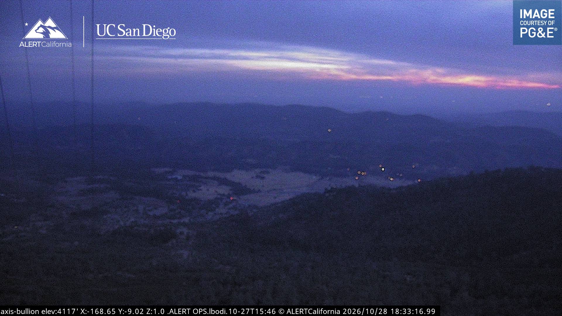
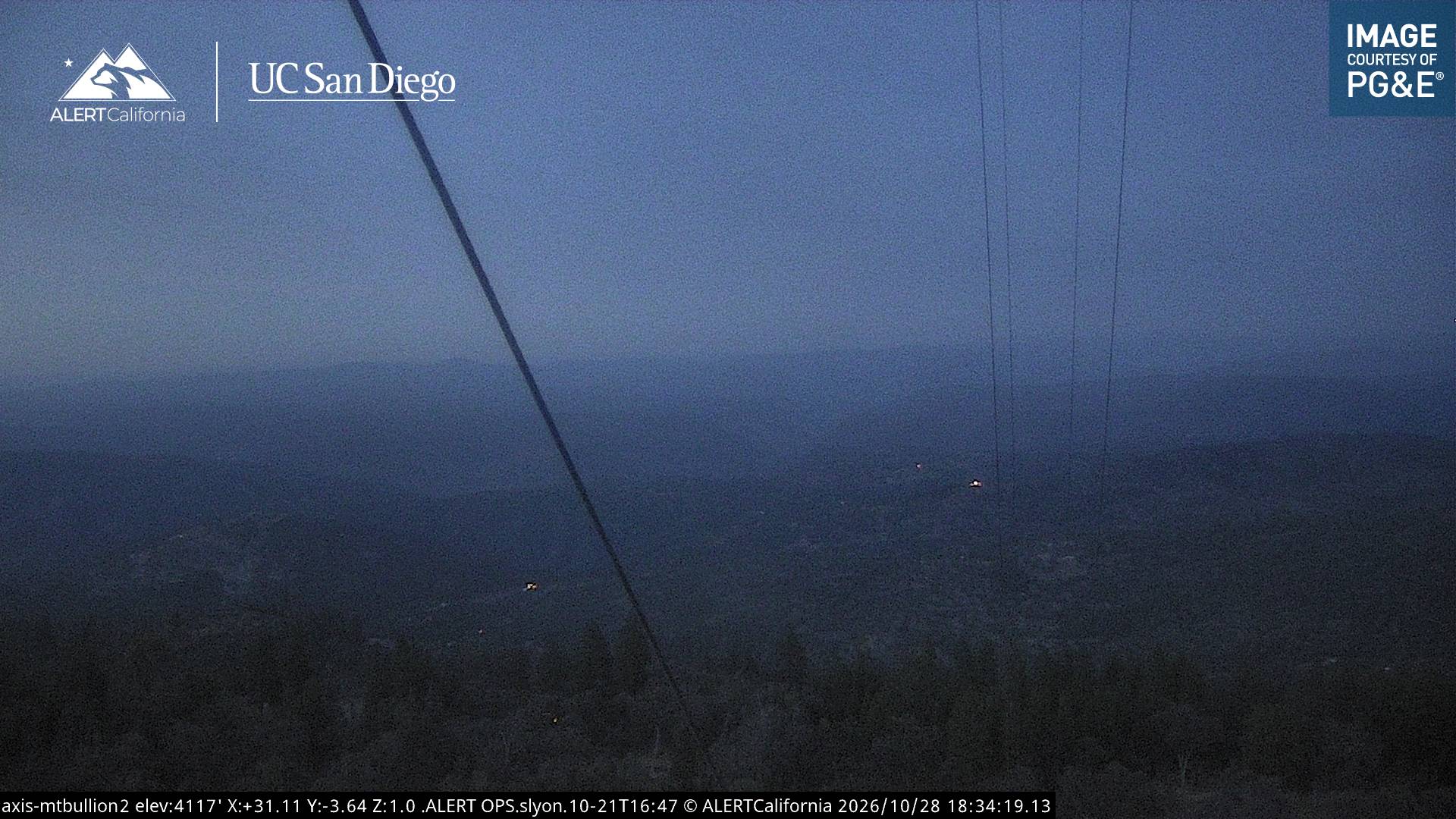
Cámaras web cerca de Fremont Peak


Historia alrededor de Fremont Peak
- Oak Fire2022
- Detwiler Fire2017
Ciudades cerca de Fremont Peak
- Merceda 46 km
- Chowchillaa 51 km
- Atwatera 53 km
- Sonoraa 54 km
- Livingstona 60 km
- Maderaa 67 km