Fremont Peak
Mountain · United States
Mariposa County is a county in the U.S. state of California. As of the 2020 U.S. census, the population was 17,131. The county seat is Mariposa. The county lies in the western foothills of the Sierra Nevada, north of Fresno, east of Merced, and southeast of Stockton.
From Wikipedia, CC BY-SA · Read the article
At the summit · forecast for 11:00 PM
44 °FPartly cloudy · wind 3 mph from the NE
 See it in 3D
Fremont Peak weather forecast
- 11:00 PM44 °FNE 3 mph–
- 2:00 AM42 °FE 2 mph–
- 5:00 AM42 °FE 3 mph–
- 8:00 AM43 °FNE 3 mph–
- 11:00 AM57 °FS 3 mph–
- 2:00 PM58 °FSW 5 mph–
- 5:00 PM55 °FNE 3 mph–
- 8:00 PM51 °FNE 2 mph–
| Day | Sky | High / low | Rain | Wind up to |
|---|---|---|---|---|
| Thu, Oct 29 | Partly cloudy | 58 °F / 42 °F | – | 5 mph |
| Fri, Oct 30 | Cloudy | 57 °F / 46 °F | 0.07 in | 6 mph |
| Sat, Oct 31 | Heavy rain | 56 °F / 43 °F | 1.02 in | 9 mph |
| Sun, Nov 1 | Clear | 51 °F / 39 °F | – | 8 mph |
| Mon, Nov 2 | Clear | 55 °F / 34 °F | – | 5 mph |
| Tue, Nov 3 | Partly cloudy | 62 °F / 37 °F | – | 4 mph |
| Wed, Nov 4 | Clear | 69 °F / 36 °F | – | 5 mph |
Forecast by MET Norway (CC BY 4.0), updated 06:17 PM PDT. Times are local.
Facts
- What it is
- Mountain
- Country
- United States
- Coordinates
- 37.559°N 120.076°W
- Source
- Wikidata, CC0
Mariposa County, California
County in California, United States
Mariposa County is a county in the U.S. state of California. As of the 2020 U.S. census, the population was 17,131. The county seat is Mariposa. The county lies in the western foothills of the Sierra Nevada, north of Fresno, east of Merced, and southeast of Stockton. The eastern portion of the county encompasses the principal area of Yosemite National Park.
From Wikipedia, CC BY-SA · Read the article
Peaks near Fremont Peak
- Middle Cathedral Rock6,648 ft · 42 km awayOn the map
- Eagle Peak7,783 ft · 46 km awayOn the map
- Lost Arrow Spire6,657 ft · 48 km awayOn the map
- Fresno Dome7,544 ft · 49 km awayOn the map
- Grizzly Peak6,222 ft · 50 km awayOn the map
- Smith Peak7,756 ft · 51 km awayOn the map
- Liberty Cap7,080 ft · 51 km awayOn the map
- Mount Broderick6,706 ft · 51 km awayOn the map
- Basket Dome7,612 ft · 52 km awayOn the map
- Mount Bruce9,718 ft · 52 km awayOn the map
Highest mountains in United States
- Denali20,308 ftOn the map
- Mount Saint Elias18,009 ftOn the map
- Mount Foraker17,402 ftOn the map
- Mount Bona16,535 ftOn the map
- Mount Blackburn16,390 ftOn the map
- Mount Sanford16,237 ftOn the map
- Mount Vancouver15,787 ftOn the map
- Mount Churchill15,636 ftOn the map
- Mount Fairweather15,325 ftOn the map
- Mount Hubbard14,951 ftOn the map
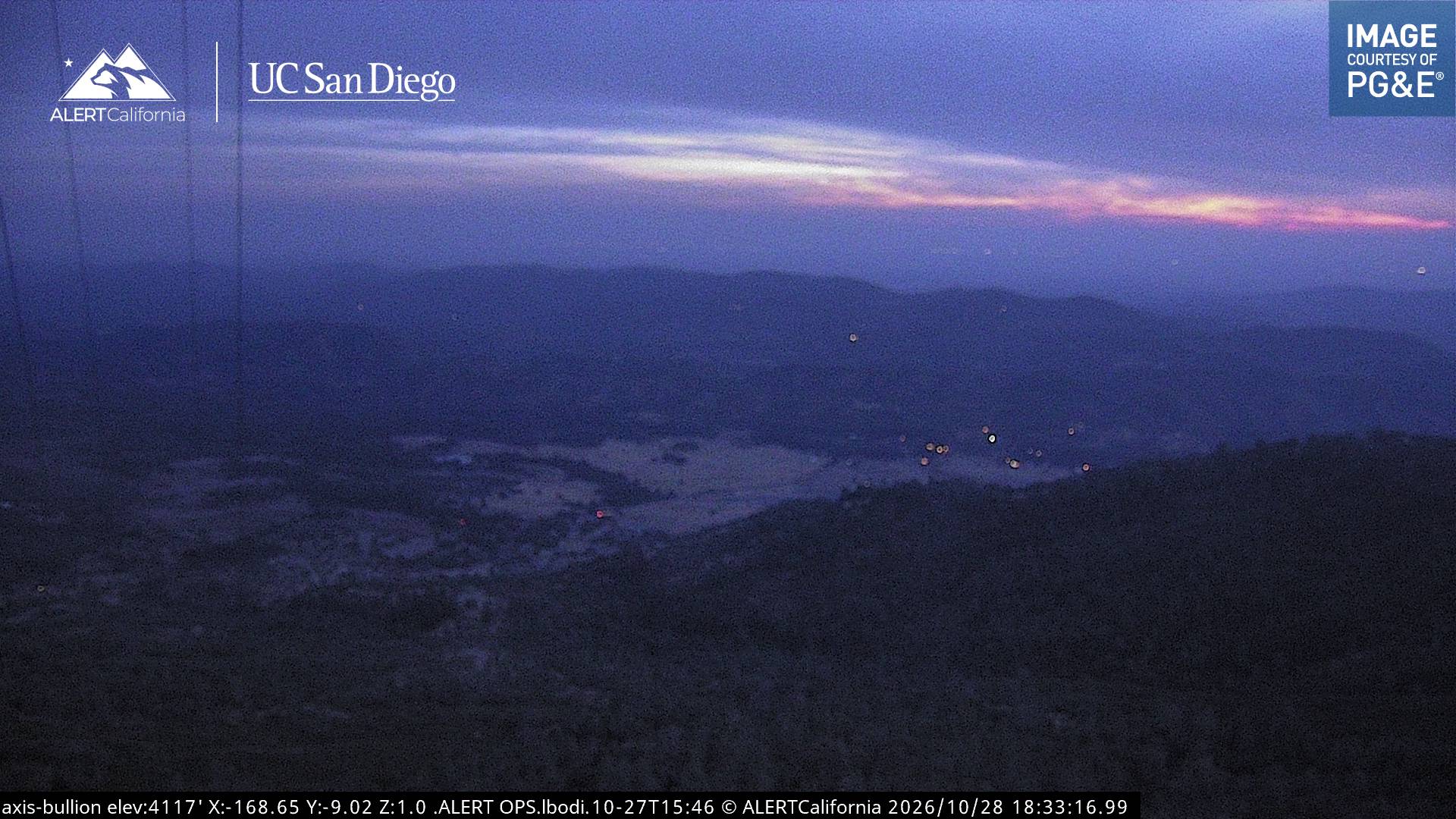
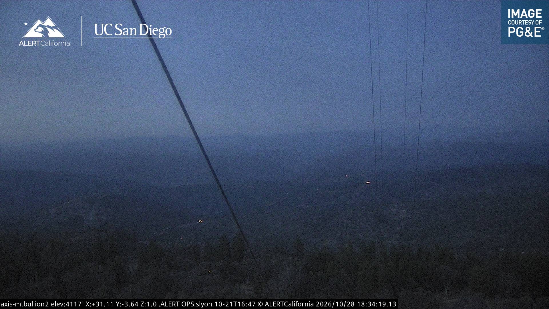
Webcams near Fremont Peak


History around Fremont Peak
- Oak Fire2022
- Detwiler Fire2017
Towns near Fremont Peak
- Merced46 km away
- Chowchilla51 km away
- Atwater53 km away
- Sonora54 km away
- Livingston60 km away
- Madera67 km away